Browse / Czechia / Liberec / Krompach
Krompach
Liberecvillage

Featured view
Krompach
Elevation476 m
Land area7.75 km²
Coordinates50.83°, 14.70°
Demographic figures from Czech Statistical Office. Overview below cites Wikipedia and may reference a different year.
Loading additional data from public sources…0 / 11
CensusWikipediaWeatherPlacesPeopleEnvironmentHealth & SchoolsRelatedGeography & CultureLive MonitoringEvents & Gallery
0% completeCity facts
Facts from Wikidata (CC0).
Overview
Krompach is a municipality and village in Česká Lípa District in the Liberec Region of the Czech Republic. It has about 200 inhabitants.
Read more on WikipediaHistory & geography
Geography
Latitude
50.8289
Longitude
14.7011
Water area
—
Coordinates & boundaries from the US Census TIGER/Line shapefiles.
Climate
Air quality
Walkability
Amenities nearby
Wildlife & biodiversity
Earthquake history
Photos
Sights & places nearby
Notable people from here
A
Alfred Gürtler
Austrian statistician, economist and politician (1875-1933)
K
Karl von Ergert
Austrian cavalry officer
W
Wenzel Bürger
Chemnitz architect (1869–1946)
G
Gert Willner
German politician (1940-2000)

Rudo Schwarz
German painter (1906-1983)
F
Franz Ergert
Austrian textile manufacturer
A
Alfred Pracht
German politician
C
Conrad Taler
German journalist and author
H
Hildegard Neumann
Nazi, female guard in concentration camp

Vinzenz Kraus
Czech member of Czech council and mayor (1865-1926)
J
Josef Goth
Czechoslovak senator of Czechoslovak National Parliament and German nation politician (1870-1939)
S
Salesius Mayer

Josef Johann Mann
German Bohemian entomologist (1804-1889)
R
Rudolf Karel Löw
Czech Roman Catholic priest
T
Tom Drahos
Czech photographer (born 1947)
T
Therese Boschetti
Austrian opera singer (1847-1919)
People born within ~10 km, from Wikidata (CC0). Click any name for their Wikipedia article.
Nearby places in Liberec
- Valy0.6 mi away · pop. 24
- Dolní Světlá1.5 mi away · pop. 47
- Mařenice1.7 mi away · pop. 231
- Horní Světlá2.1 mi away · pop. 43
- Heřmanice v Podještědí2.6 mi away · pop. 250
- Petrovice3.1 mi away · pop. 154
- Kněžice4.1 mi away · pop. 127
- Kunratice u Cvikova4.3 mi away · pop. 535
- Cvikov4.7 mi away · pop. 3,867
- Lvová5 mi away · pop. 118
- Jablonné v Podještědí5.1 mi away · pop. 2,857
- Svor5.2 mi away · pop. 585
Geography & sun
Avg solar (kWh/m²/day)
2.97
Annual solar (kWh/m²)
1,084
Elevation, sunrise/sunset and daylight from Open-Meteo. Solar climatology from NASA POWER.
Nearby airports
Public attention
Wikipedia views (last 30 days)
35
Avg daily Wikipedia views
1
Attention level
Obscure
Pageview totals from the Wikimedia Pageviews API.
Books about this place
Recent natural events nearby
Ground air-quality sensors
Recently spotted species
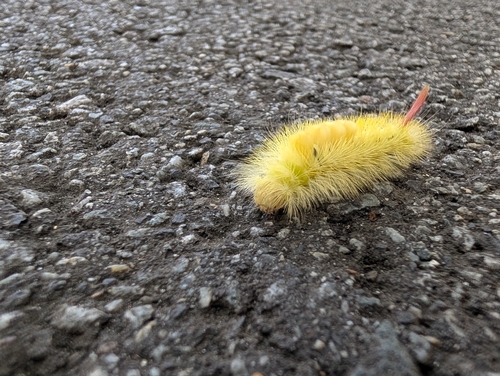
Pale Tussock Moth
Calliteara pudibunda
Seen 2026-09-22
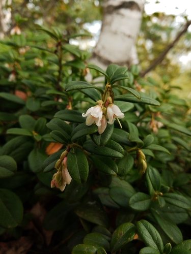
Lingonberry
Vaccinium vitis-idaea
Seen 2026-09-22
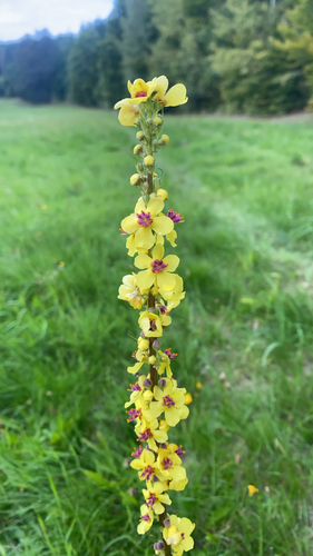
Dark Mullein
Verbascum nigrum
Seen 2026-09-20
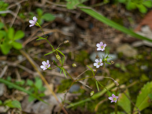
Low Baby's-breath
Psammophiliella muralis
Seen 2026-09-19
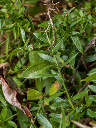
German Greenweed
Genista germanica
Seen 2026-09-19
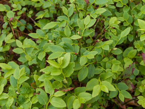
common bilberry
Vaccinium myrtillus
Seen 2026-09-19
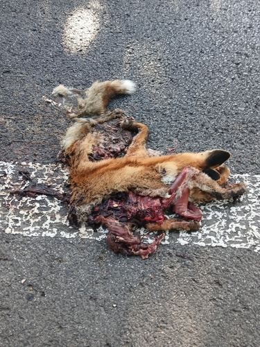
Red Fox
Vulpes vulpes
Seen 2026-09-19
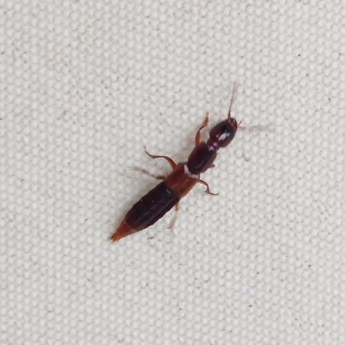
Othius punctulatus
Othius punctulatus
Seen 2026-09-16
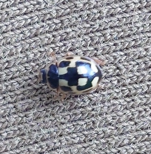
Fourteen-spotted Lady Beetle
Propylea quatuordecimpunctata
Seen 2026-09-16
Research-grade observations from iNaturalist (within ~15 mi).
Events
Gallery
Official Identifiers
ČSÚ — Czech Statistical Office
- RÚIAN code
- CZ561738
- Population (Wikidata)
- 179
- Wikidata
- Q1789799
RÚIAN obec ID via Wikidata P782
Sources
- • Wikipedia
- • Wikidata
- • iNaturalist
- • Open-Meteo / sunrise-sunset.org
- • Wikipedia Pageviews API
- • ČSÚ — Czech Statistical Office — RÚIAN obec ID via Wikidata P782