Browse / Czechia / Vysočina / Krucemburk
Krucemburk
Vysočinavillage

Krucemburk
Total population
1,347
Demographic figures from Czech Statistical Office. Overview below cites Wikipedia and may reference a different year.
City facts
Facts from Wikidata (CC0).
Overview
Krucemburk is a market town in Havlíčkův Brod District in the Vysočina Region of the Czech Republic. It has about 1,600 inhabitants.
Read more on WikipediaHistory & geography
History
The first written mention of Krucemburk is from 1241. The village was promoted to a market town in 1385. The village of Staré Ransko was founded in 1355. Hluboká was probably founded at the turn of the 13th and 14th centuries, but the first written mention is from 1548.
Geography
Krucemburk is located about northeast of Havlíčkův Brod and northeast of Jihlava. It lies on the border between the Upper Sázava Hills and Iron Mountains. The highest point is at above sea level. The Doubrava River flows through Hluboká and Staré Ransko. The municipal territory is rich in fishponds, the largest of which is Řeka. The entire territory of Krucemburk lies within the Žďárské vrchy Protected Landscape Area.
Excerpted from the corresponding Wikipedia article (CC BY-SA).
Geography
Coordinates & boundaries from the US Census TIGER/Line shapefiles.
Climate
Air quality
Walkability
Amenities nearby
Wildlife & biodiversity
Most-observed species
- Great TitParus major Linnaeus, 1758 · Aves2,087
- Eurasian BlackbirdTurdus merula Linnaeus, 1758 · Aves1,973
- Common ChaffinchFringilla coelebs Linnaeus, 1758 · Aves1,868
- Eurasian Blue TitCyanistes caeruleus (Linnaeus, 1758) · Aves1,624
- Eurasian MagpiePica pica (Linnaeus, 1758) · Aves1,418
- Great Spotted WoodpeckerDendrocopos major (Linnaeus, 1758) · Aves1,268
- Eurasian BullfinchPyrrhula pyrrhula (Linnaeus, 1758) · Aves1,212
- European GreenfinchChloris chloris (Linnaeus, 1758) · Aves1,106
Citizen-science & research observations from the Global Biodiversity Information Facility (GBIF).
Earthquake history
Most recent
- M 3 — 2006-03-211 km NNW of Bystré, Czechia
- M 3.4 — 2005-10-250 km N of ?ervený Kostelec, Czechia
- M 2.9 — 2005-08-102 km WSW of ?ervený Kostelec, Czechia
Events from the USGS Earthquake Catalog (global) (FDSN Event Web Service).
Photos
Sights & places nearby
Notable people from here


People born within ~10 km, from Wikidata (CC0). Click any name for their Wikipedia article.
Nearby places in Vysočina
- Staré Ransko1.1 mi away · pop. 208
- Vojnův Městec1.3 mi away · pop. 702
- Benátky1.5 mi away · pop. 170
- Kohoutov1.5 mi away · pop. 87
- Nové Ransko2.5 mi away · pop. 109
- Stružinec2.6 mi away · pop. 51
- Radostín2.7 mi away · pop. 165
- Horní Studenec3.1 mi away · pop. 282
- Údavy3.5 mi away · pop. 103
- Nový Studenec3.6 mi away · pop. 149
- Slavětín3.8 mi away · pop. 95
- Karlov4 mi away · pop. 80
Geography & sun
Elevation, sunrise/sunset and daylight from Open-Meteo. Solar climatology from NASA POWER.
Nearby airports
Public attention
Pageview totals from the Wikimedia Pageviews API.
Books about this place
Recent natural events nearby
Ground air-quality sensors
Recently spotted species

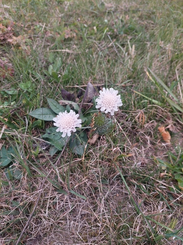
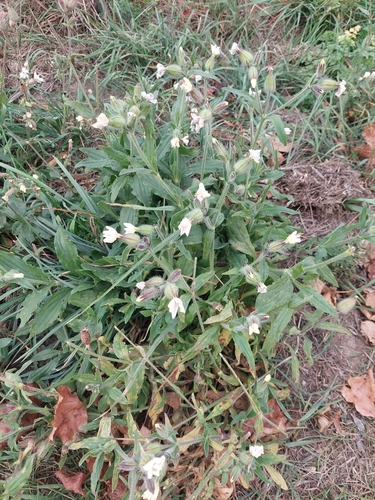
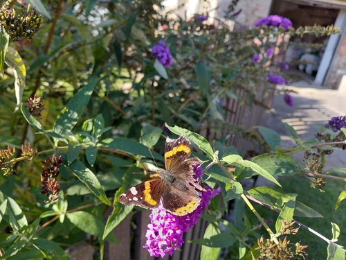
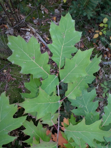

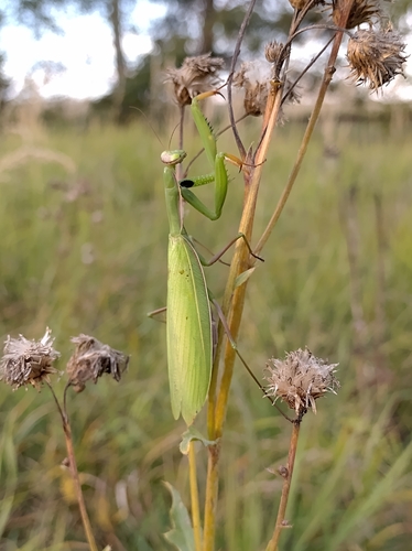
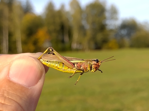

Research-grade observations from iNaturalist (within ~15 mi).
Events
Gallery
Official Identifiers
ČSÚ — Czech Statistical Office
- RÚIAN code
- CZ568945
- Population (Wikidata)
- 1,569
- Wikidata
- Q1790091
RÚIAN obec ID via Wikidata P782
Sources
- • Wikipedia
- • Wikidata
- • USGS Earthquake Catalog (global feed)
- • GBIF (Global Biodiversity Information Facility)
- • iNaturalist
- • Open-Meteo / sunrise-sunset.org
- • Wikipedia Pageviews API
- • Wikidata SPARQL (CC0) — population, area, elevation, inception, head of government, Commons image
- • ČSÚ — Czech Statistical Office — RÚIAN obec ID via Wikidata P782