Browse / Czechia / Ústí nad Labem / Krupka
Krupka
Ústí nad Labemtown

Krupka
Total population
3,288
Demographic figures from Czech Statistical Office. Overview below cites Wikipedia and may reference a different year.
City facts
Facts from Wikidata (CC0).
Overview
Krupka is a town in Teplice District in the Ústí nad Labem Region of the Czech Republic. It has about 13,000 inhabitants. It is located on the border between the Most Basin and Ore Mountains. The most populous part of Krupka is Bohosudov, which was a separate town until 1960.
Read more on WikipediaHistory & geography
Geography
Krupka is located about north of Teplice and east of Ústí nad Labem. The southern part of the municipal territory with the built-up area lies the Most Basin, the northern part lies in the Ore Mountains. On the southern border of Krupka is the Kateřina Reservoir, built at the beginning of the 20th century. It was built as part of water management protection and today it is also used for recreational purposes.
Excerpted from the corresponding Wikipedia article (CC BY-SA).
Geography
Coordinates & boundaries from the US Census TIGER/Line shapefiles.
Climate
Air quality
Walkability
Amenities nearby
Wildlife & biodiversity
Most-observed species
- Eurasian BlackbirdTurdus merula Linnaeus, 1758 · Aves1,539
- Eurasian Blue TitCyanistes caeruleus (Linnaeus, 1758) · Aves1,503
- Great TitParus major Linnaeus, 1758 · Aves1,485
- MallardAnas platyrhynchos Linnaeus, 1758 · Aves1,283
- Mute SwanCygnus olor (J.F.Gmelin, 1789) · Aves1,078
- Common RavenCorvus corax Linnaeus, 1758 · Aves1,037
- Eurasian KestrelFalco tinnunculus Linnaeus, 1758 · Aves1,031
- Eurasian CootFulica atra Linnaeus, 1758 · Aves1,006
Citizen-science & research observations from the Global Biodiversity Information Facility (GBIF).
Earthquake history
Most recent
- M 3.1 — 2008-08-134 km NE of Kodersdorf, Germany
- M 3.1 — 2004-11-155 km ENE of Kada?, Czechia
- M 3.1 — 2001-10-092 km W of Jáchymov, Czechia
Events from the USGS Earthquake Catalog (global) (FDSN Event Web Service).
Photos
Sights & places nearby
Notable people from here

People born within ~10 km, from Wikidata (CC0). Click any name for their Wikipedia article.
Nearby places in Ústí nad Labem
- Bžany6.6 mi away · pop. 167
- Mrzlice12.1 mi away · pop. 52
- Paillote1115.6 mi away
- Haouch Gaby1117.8 mi away
- Douar Nessasseha دوار نساسحة1119.5 mi away
- Haouch Ben Said1119.9 mi away
- Haouch Ain Maiza1124.1 mi away
- Haouch Ben Kouider1125.2 mi away
- Sidi Rached1125.3 mi away · pop. 11,062
- Tipaza1125.6 mi away · pop. 25,225
- Douar Adel masskifa1126.5 mi away
- 5 Martyrs1127.6 mi away
Geography & sun
Elevation, sunrise/sunset and daylight from Open-Meteo. Solar climatology from NASA POWER.
Nearby airports
Public attention
Pageview totals from the Wikimedia Pageviews API.
Books about this place
Recent natural events nearby
Ground air-quality sensors
Recently spotted species
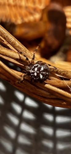
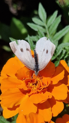
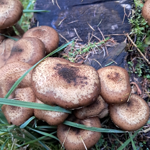
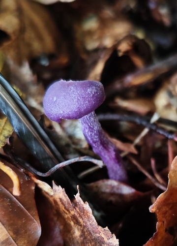
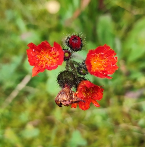
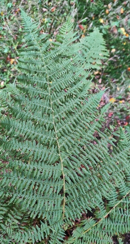
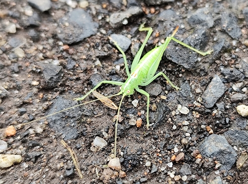
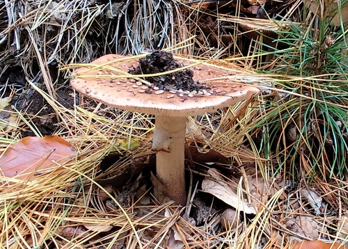
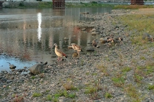
Research-grade observations from iNaturalist (within ~15 mi).
Events
Gallery
Official Identifiers
ČSÚ — Czech Statistical Office
- RÚIAN code
- CZ567639
- Population (Wikidata)
- 12,793
- Wikidata
- Q593629
RÚIAN obec ID via Wikidata P782
Sources
- • Wikipedia
- • Wikidata
- • USGS Earthquake Catalog (global feed)
- • GBIF (Global Biodiversity Information Facility)
- • iNaturalist
- • Open-Meteo / sunrise-sunset.org
- • Wikipedia Pageviews API
- • Wikidata SPARQL (CC0) — population, area, elevation, inception, head of government, Commons image
- • ČSÚ — Czech Statistical Office — RÚIAN obec ID via Wikidata P782