Browse / Czechia / Ústí nad Labem / Kryry
Kryry
Ústí nad Labemvillage

Kryry
Total population
2,015
Founded
1973
Demographic figures from Czech Statistical Office. Overview below cites Wikipedia and may reference a different year.
City facts
Facts from Wikidata (CC0).
Overview
Kryry is a town in Louny District in the Ústí nad Labem Region of the Czech Republic. It has about 2,400 inhabitants.
Read more on WikipediaHistory & geography
History
The first written mention of Kryry is from 1320. During the Hussite Wars in 1421, the Czech population was murdered by crusaders and the village became ethnically German. The German-speaking population was expelled after World War II.
Geography
Kryry is located about southwest of Louny, north of Plzeň, and west of Prague. It lies in the Rakovník Uplands. The highest point is below the top of the hill Hůrka at above sea level. The Blšanka River flows through the town.
Excerpted from the corresponding Wikipedia article (CC BY-SA).
Geography
Coordinates & boundaries from the US Census TIGER/Line shapefiles.
Climate
Air quality
Walkability
Amenities nearby
Wildlife & biodiversity
Most-observed species
- Great TitParus major Linnaeus, 1758 · Aves332
- Eurasian BlackbirdTurdus merula Linnaeus, 1758 · Aves330
- Great Spotted WoodpeckerDendrocopos major (Linnaeus, 1758) · Aves268
- Eurasian Blue TitCyanistes caeruleus (Linnaeus, 1758) · Aves260
- MallardAnas platyrhynchos Linnaeus, 1758 · Aves259
- Common BuzzardButeo buteo (Linnaeus, 1758) · Aves239
- Common ChiffchaffPhylloscopus collybita (Vieillot, 1817) · Aves238
- Common ChaffinchFringilla coelebs Linnaeus, 1758 · Aves236
Citizen-science & research observations from the Global Biodiversity Information Facility (GBIF).
Earthquake history
Most recent
- M 3.2 — 2018-05-222 km ENE of Luby, Czechia
- M 4.1 — 2018-05-212 km SSE of Erlbach, Germany
- M 3.8 — 2014-05-314 km NE of Skalná, Czechia
- M 4 — 2011-09-045 km WSW of Habartov, Czechia
- M 2.9 — 2008-11-234 km SW of Oloví, Czechia
- M 2.9 — 2008-10-313 km NW of Zwota, Germany
Events from the USGS Earthquake Catalog (global) (FDSN Event Web Service).
Photos
Sights & places nearby
Notable people from here
Nearby places in Ústí nad Labem
- Mrzlice28.9 mi away · pop. 52
- Bžany34.9 mi away · pop. 167
- Paillote1075.8 mi away
- Haouch Gaby1078 mi away
- Douar Nessasseha دوار نساسحة1079.6 mi away
- Haouch Ben Said1080 mi away
- Haouch Ain Maiza1084.3 mi away
- Haouch Ben Kouider1085.3 mi away
- Sidi Rached1085.5 mi away · pop. 11,062
- Tipaza1085.8 mi away · pop. 25,225
- Douar Adel masskifa1086.6 mi away
- 5 Martyrs1087.8 mi away
Geography & sun
Elevation, sunrise/sunset and daylight from Open-Meteo. Solar climatology from NASA POWER.
Nearby airports
Public attention
Pageview totals from the Wikimedia Pageviews API.
Books about this place
Recent natural events nearby
Ground air-quality sensors
Recently spotted species
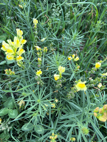
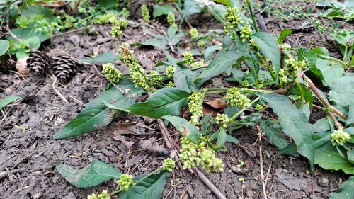
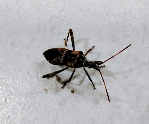
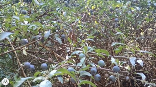
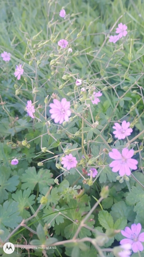
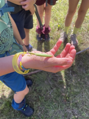
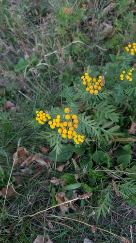
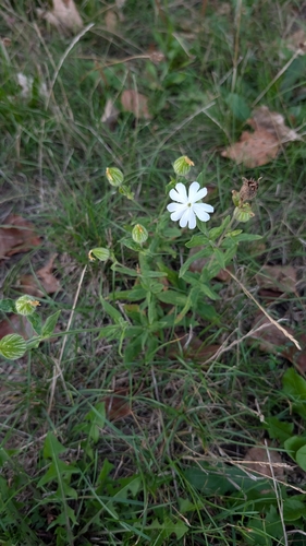
Research-grade observations from iNaturalist (within ~15 mi).
Events
Gallery
Official Identifiers
ČSÚ — Czech Statistical Office
- RÚIAN code
- CZ566314
- Population (Wikidata)
- 2,361
- Wikidata
- Q1778456
RÚIAN obec ID via Wikidata P782
Sources
- • Wikipedia
- • Wikidata
- • USGS Earthquake Catalog (global feed)
- • GBIF (Global Biodiversity Information Facility)
- • iNaturalist
- • Open-Meteo / sunrise-sunset.org
- • Wikipedia Pageviews API
- • Wikidata SPARQL (CC0) — population, area, elevation, inception, head of government, Commons image
- • ČSÚ — Czech Statistical Office — RÚIAN obec ID via Wikidata P782