Browse / Czechia / Central Bohemian / Kšely
Kšely
Central Bohemianvillage

Featured view
Kšely
Total population
228
Elevation248 m
Land area4.52 km²
Coordinates50.04°, 14.90°
Demographic figures from Czech Statistical Office. Overview below cites Wikipedia and may reference a different year.
Loading additional data from public sources…0 / 11
CensusWikipediaWeatherPlacesPeopleEnvironmentHealth & SchoolsRelatedGeography & CultureLive MonitoringEvents & Gallery
0% completeCity facts
Facts from Wikidata (CC0).
Overview
Kšely is a municipality and village in Kolín District in the Central Bohemian Region of the Czech Republic. It has about 200 inhabitants.
Read more on WikipediaHistory & geography
Geography
Latitude
50.0434
Longitude
14.9019
Water area
—
Coordinates & boundaries from the US Census TIGER/Line shapefiles.
Climate
Air quality
Walkability
Amenities nearby
Wildlife & biodiversity
Earthquake history
Photos
Sights & places nearby
Notable people from here
Nearby places in Central Bohemian
- Lstiboř2.5 mi away · pop. 156
- Chotouň3 mi away · pop. 111
- Štolmíř4 mi away · pop. 303
- Bohumil5.3 mi away · pop. 64
- Cerhýnky6.9 mi away · pop. 195
- Tlustovousy7.1 mi away · pop. 168
- Kozovazy7.9 mi away · pop. 70
- Hradištko8.6 mi away · pop. 427
- Nové Jirny9.5 mi away · pop. 519
- Císařská Kuchyně9.5 mi away · pop. 77
- Vítězov9.6 mi away · pop. 175
- Kostelní Střimelice9.8 mi away · pop. 146
Geography & sun
Avg solar (kWh/m²/day)
2.97
Annual solar (kWh/m²)
1,084
Elevation, sunrise/sunset and daylight from Open-Meteo. Solar climatology from NASA POWER.
Nearby airports
Public attention
Wikipedia views (last 30 days)
23
Avg daily Wikipedia views
1
Attention level
Obscure
Pageview totals from the Wikimedia Pageviews API.
Books about this place
Recent natural events nearby
Ground air-quality sensors
Recently spotted species
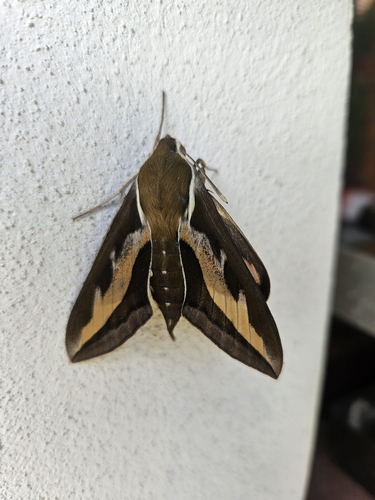
Bedstraw Hawkmoth
Hyles gallii
Seen 2026-09-18
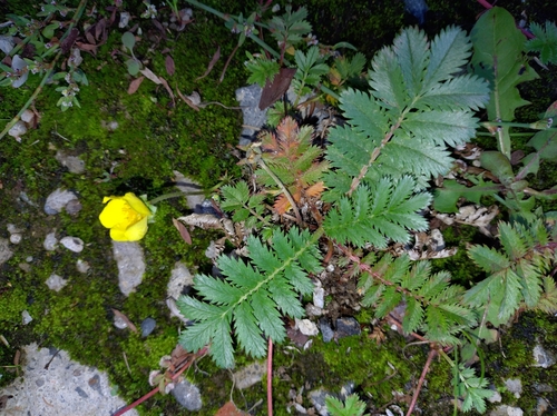
common silverweed
Argentina anserina
Seen 2026-09-17
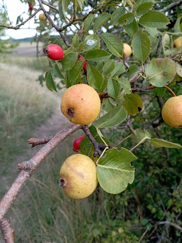
Common Pear
Pyrus communis
Seen 2026-09-17
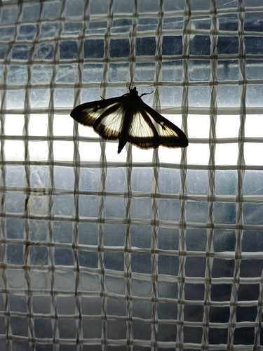
Box Tree Moth
Cydalima perspectalis
Seen 2026-09-16
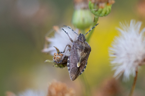
Sloe Bug
Dolycoris baccarum
Seen 2026-09-16
Xylocopa
Xylocopa
Seen 2026-09-16
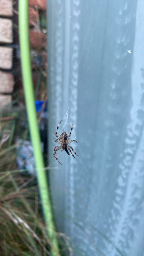
Cross Orbweaver
Araneus diadematus
Seen 2026-09-15
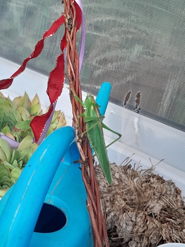
Great Green Bush-cricket
Tettigonia viridissima
Seen 2026-09-15
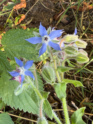
Borage
Borago officinalis
Seen 2026-09-15
Research-grade observations from iNaturalist (within ~15 mi).
Events
Gallery
Official Identifiers
ČSÚ — Czech Statistical Office
- RÚIAN code
- CZ571717
- Population (Wikidata)
- 230
- Wikidata
- Q1820223
RÚIAN obec ID via Wikidata P782
Sources
- • Wikipedia
- • Wikidata
- • iNaturalist
- • Open-Meteo / sunrise-sunset.org
- • Wikipedia Pageviews API
- • ČSÚ — Czech Statistical Office — RÚIAN obec ID via Wikidata P782