Browse / Czechia / Karlovy Vary / Kynšperk nad Ohří
Kynšperk nad Ohří
Karlovy Varytown

Kynšperk nad Ohří
Total population
4,936
Demographic figures from Czech Statistical Office. Overview below cites Wikipedia and may reference a different year.
City facts
Facts from Wikidata (CC0).
Overview
Kynšperk nad Ohří is a town in Sokolov District in the Karlovy Vary Region of the Czech Republic. It has about 4,500 inhabitants. The town is located on the Ohře River.
Read more on WikipediaHistory & geography
History
Kynšperk nad Ohří was founded in 1232. The town's founding charter is the oldest preserved document of establishing a locality in the Czech Republic and is stored in the National Archives in Prague. The town was founded at the Libava Stream about to the east, but then it was moved to its present location (not later than during the reign of King Charles IV in 1346–1378). The inhabitants lived mainly on agriculture and small crafts, but in the 18th century, carpentry and later mining developed. In the 19th and 20th centuries, the town was industrialised.
Geography
Kynšperk nad Ohří is located about southwest of Sokolov and southwest of Karlovy Vary. It is situated mostly in the Cheb Basin. The southeastern part of the municipal territory extends into the Slavkov Forest and includes the highest point of Kynšperk nad Ohří at above sea level. The Ohře River flows through the town. The Libava Stream flows through the eastern part of the municipal territory. North of the town is located Boží požehnání Lake, an artificial lake created during the revitalisation of a former lignite mine.
Excerpted from the corresponding Wikipedia article (CC BY-SA).
Geography
Coordinates & boundaries from the US Census TIGER/Line shapefiles.
Climate
10-year averages from ERA5 reanalysis (Open-Meteo).
Air quality
Walkability
Amenities nearby
Wildlife & biodiversity
Earthquake history
Photos
Sights & places nearby
Notable people from here


People born within ~10 km, from Wikidata (CC0). Click any name for their Wikipedia article.
Nearby places in Karlovy Vary
- Dasnice2.5 mi away · pop. 353
- Citice4.8 mi away · pop. 713
- Rovná6.2 mi away · pop. 582
- Žírovice7.8 mi away · pop. 214
- Slapany9.3 mi away
- Vojtanov10.1 mi away · pop. 174
- Vintířov11.5 mi away · pop. 1,067
- Boč29.6 mi away · pop. 76
- M'Zaret Boumendjel977.6 mi away
- Souk Ahras982.9 mi away · pop. 155,259
- Merahna986.3 mi away · pop. 13,319
- Hadj Rabah997.5 mi away
Geography & sun
Elevation, sunrise/sunset and daylight from Open-Meteo. Solar climatology from NASA POWER.
Nearby airports
Public attention
Pageview totals from the Wikimedia Pageviews API.
Books about this place
Recent natural events nearby
Ground air-quality sensors
Recently spotted species
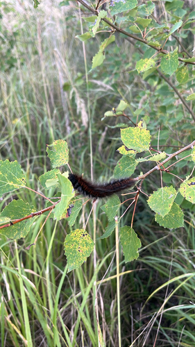
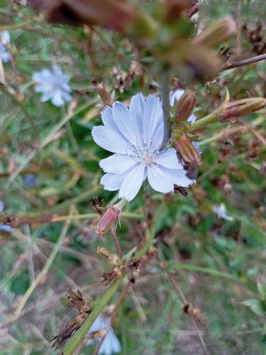
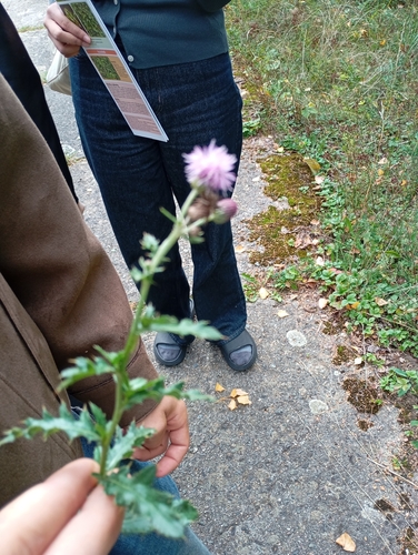
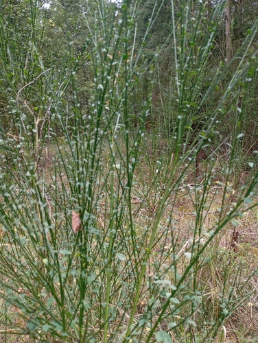
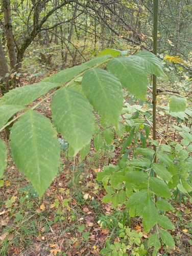
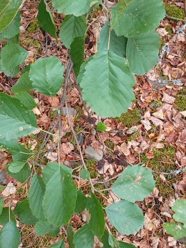
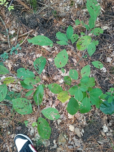
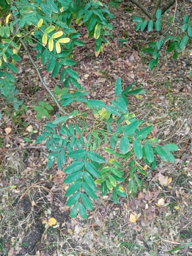
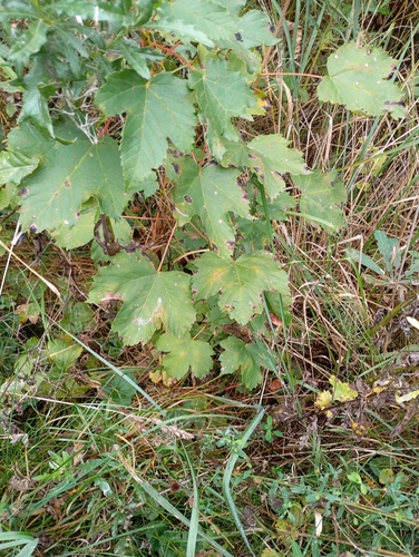
Research-grade observations from iNaturalist (within ~15 mi).
Events
Gallery
Official Identifiers
ČSÚ — Czech Statistical Office
- RÚIAN code
- CZ560499
- Population (Wikidata)
- 4,527
- Wikidata
- Q188062
RÚIAN obec ID via Wikidata P782
Sources
- • Wikipedia
- • Open-Meteo (ERA5 reanalysis)
- • Wikidata
- • iNaturalist
- • Open-Meteo / sunrise-sunset.org
- • Wikipedia Pageviews API
- • Wikidata SPARQL (CC0) — population, area, elevation, inception, head of government, Commons image
- • ČSÚ — Czech Statistical Office — RÚIAN obec ID via Wikidata P782