Browse / Czechia / South Moravian / Ladná
Ladná
South Moravianvillage

Ladná
Total population
1,228
Demographic figures from Czech Statistical Office. Overview below cites Wikipedia and may reference a different year.
City facts
Facts from Wikidata (CC0).
Overview
Ladná is a municipality and village in Břeclav District in the South Moravian Region of the Czech Republic. It has about 1,300 inhabitants.
Read more on WikipediaHistory & geography
History
The first written mention of Lanštorf is from 1271. Until the beginning of the 16th century, it was part of the Podivín estate, then it was annexed to the Břeclav estate. In 1950, the name of the municipality was changed to Ladná. Ladná was an independent municipality until 31 July 1976, when it became a municipal part of Břeclav. Since 1 July 2006, it has been a separate municipality.
Geography
Ladná is located about north of Břeclav and south of Brno. It lies in a flat agricultural landscape in the Lower Morava Valley. The Thaya River flows along the western municipal border.
Excerpted from the corresponding Wikipedia article (CC BY-SA).
Geography
Coordinates & boundaries from the US Census TIGER/Line shapefiles.
Climate
Air quality
Walkability
Amenities nearby
Wildlife & biodiversity
Most-observed species
- MallardAnas platyrhynchos Linnaeus, 1758 · Aves4,104
- Gray/Purple HeronArdea cinerea Linnaeus, 1758 · Aves4,063
- Graylag GooseAnser anser (Linnaeus, 1758) · Aves3,670
- Black-headed GullChroicocephalus ridibundus (Linnaeus, 1766) · Aves3,624
- Great TitParus major Linnaeus, 1758 · Aves3,501
- Great Cormorant/European ShagPhalacrocorax carbo (Linnaeus, 1758) · Aves3,176
- Mute SwanCygnus olor (J.F.Gmelin, 1789) · Aves3,163
- European StarlingSturnus vulgaris Linnaeus, 1758 · Aves2,931
Citizen-science & research observations from the Global Biodiversity Information Facility (GBIF).
Earthquake history
Most recent
- M 3.9 — 2026-02-2111 km ESE of Šamorín, Slovakia
- M 2.8 — 2018-08-171 km ENE of Tren?ianske Teplice, Slovakia
- M 4.2 — 2016-04-253 km NNE of Heiligenkreuz, Austria
- M 3.6 — 2013-10-022 km ENE of Unterwaltersdorf, Austria
- M 3.6 — 2006-03-135 km NNW of Leopoldov, Slovakia
- M 3.1 — 2006-03-093 km SSW of Tren?ianske Teplice, Slovakia
Events from the USGS Earthquake Catalog (global) (FDSN Event Web Service).
Photos
Sights & places nearby
Notable people from here
Nearby places in South Moravian
- Lednice3.1 mi away · pop. 2,135
- Nový Poddvorov5.9 mi away · pop. 181
- Kostice6.3 mi away · pop. 1,838
- Josefov6.7 mi away · pop. 376
- Starý Poddvorov7.1 mi away · pop. 900
- Bořetice7.5 mi away · pop. 1,292
- Čejkovice7.6 mi away · pop. 2,564
- Vrbice7.7 mi away · pop. 1,096
- Sedlec8.3 mi away · pop. 806
- Němčičky9.3 mi away · pop. 601
- Mutěnice9.9 mi away · pop. 3,669
- Pavlov10.3 mi away · pop. 543
Geography & sun
Elevation, sunrise/sunset and daylight from Open-Meteo. Solar climatology from NASA POWER.
Nearby airports
Public attention
Pageview totals from the Wikimedia Pageviews API.
Books about this place
Recent natural events nearby
Ground air-quality sensors
Recently spotted species
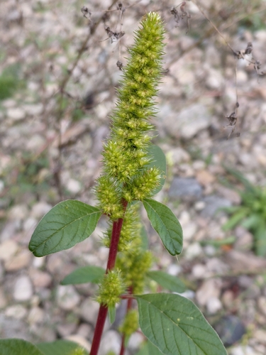
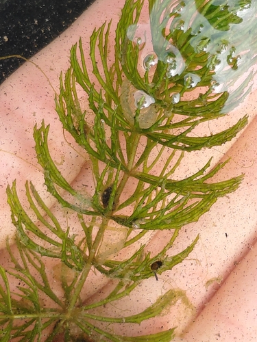
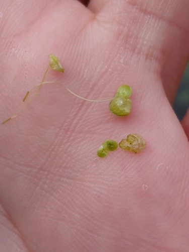

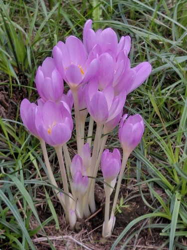
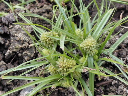

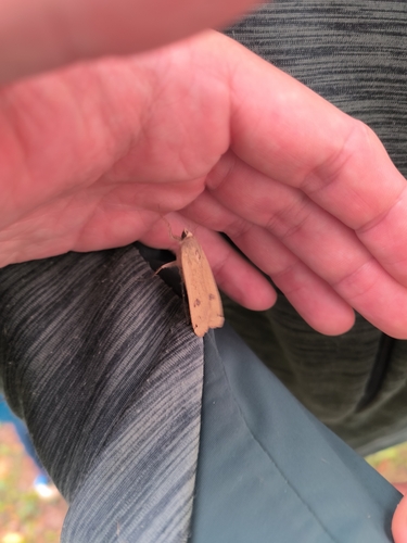
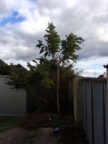
Research-grade observations from iNaturalist (within ~15 mi).
Events
Gallery
Official Identifiers
ČSÚ — Czech Statistical Office
- RÚIAN code
- CZ558443
- Population (Wikidata)
- 1,261
- Wikidata
- Q164021
RÚIAN obec ID via Wikidata P782
Sources
- • Wikipedia
- • Wikidata
- • USGS Earthquake Catalog (global feed)
- • GBIF (Global Biodiversity Information Facility)
- • iNaturalist
- • Open-Meteo / sunrise-sunset.org
- • Wikipedia Pageviews API
- • Wikidata SPARQL (CC0) — population, area, elevation, inception, head of government, Commons image
- • ČSÚ — Czech Statistical Office — RÚIAN obec ID via Wikidata P782