Browse / Czechia / Pardubice / Lanškroun
Lanškroun
Pardubicetown

Lanškroun
Total population
9,990
Founded
1201
Demographic figures from Czech Statistical Office. Overview below cites Wikipedia and may reference a different year.
City facts
Facts from Wikidata (CC0).
Overview
Lanškroun is a town in Ústí nad Orlicí District in the Pardubice Region of the Czech Republic. It has about 9,800 inhabitants. The town is located in the Orlické Foothills, on the border of the historical lands of Bohemia and Moravia. It is an industrial town with representation of the electronics, engineering and paper industries.
Read more on WikipediaHistory & geography
History
The first written mention of Lanškroun is from 1285, when it was donated by King Wenceslaus II to Záviš of Falkenstein. Lanškroun was founded during the colonisation in the second half of the 13th century under the name Landeskrone. It became the economical centre of the large estate of Lanšperk and later of separate Lanškroun estate. In 1304, Lanškroun property of the Zbraslav Monastery and in 1358, it was acquired by Litomyšl bishopric. In 1371, an Augustinian monastery was founded. In 1421, the town was conquered by Jan Žižka. After the Hussite Wars, the estate was acquired by the noble family of Kostka of Postupice. It began to prosper and obtained various privileges. In 1507, it was bought by the Pernštejn family. Then it was shortly held by the Hrzáns of Harasov, and after the Battle of White Mountain, it was bought by the Liechtenstein family. During the Thirty Years' War, the town was repeatedly burned down and looted by the Swedish army and the Catholicisation began. After the war, the population was significantly decreased. It was repopulated by German settlers and in 1683, German has become the official language. Until the expulsion of the German-speaking population from Lanškroun in 1946, the majority of population of the town had been German. After the expulsion, the town became completely Czech. In 1945, it ceased to be a district town.
Geography
Lanškroun is located about southeast of Ústí nad Orlicí and east of Pardubice. It lies in the Orlické Foothills. The highest point is at above sea level. The stream Třešňovský potok flows through the town. In the northwestern part of the municipal territory is a system of six fishponds, supplied by the stream Ostrovský potok. The largest of them is Dlouhý rybník, used for recreational purposes and water sports. The northernmost ponds (Pšeničkův rybník and Olšový rybník) and the area around the stream Zadní potok before its confluence with the Ostrovský potok is protected as the Landškrounské rybníky Nature Reserve within the Lanškroun Ponds Nature Park. The Moravská Sázava River briefly crosses the territory of Lanškroun in the south, and the Ostrovský potok joins the Moravská Sázava there.
Excerpted from the corresponding Wikipedia article (CC BY-SA).
Geography
Coordinates & boundaries from the US Census TIGER/Line shapefiles.
Climate
10-year averages from ERA5 reanalysis (Open-Meteo).
Air quality
Walkability
Amenities nearby
Wildlife & biodiversity
Earthquake history
Photos
Sights & places nearby
Notable people from here
Geography & sun
Elevation, sunrise/sunset and daylight from Open-Meteo. Solar climatology from NASA POWER.
Nearby airports
Public attention
Pageview totals from the Wikimedia Pageviews API.
Books about Lanškroun
Search results from Open Library.
Recent natural events nearby
Ground air-quality sensors
Recently spotted species
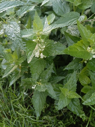
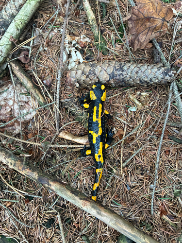
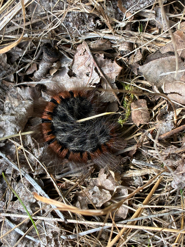



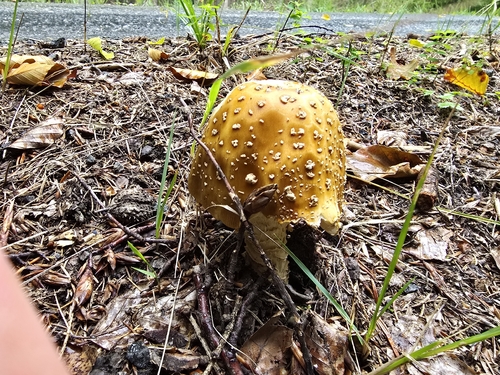
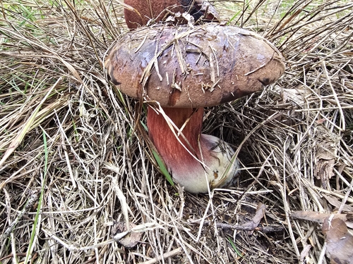
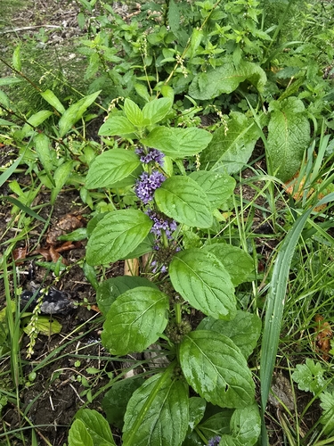
Research-grade observations from iNaturalist (within ~15 mi).
Events
Gallery
Official Identifiers
ČSÚ — Czech Statistical Office
- RÚIAN code
- CZ580511
- Population (Wikidata)
- 9,776
- Wikidata
- Q1000033
RÚIAN obec ID via Wikidata P782
Sources
- • Wikipedia
- • Open-Meteo (ERA5 reanalysis)
- • Wikidata
- • iNaturalist
- • Open-Meteo / sunrise-sunset.org
- • Wikipedia Pageviews API
- • Open Library
- • Wikidata SPARQL (CC0) — population, area, elevation, inception, head of government, Commons image
- • ČSÚ — Czech Statistical Office — RÚIAN obec ID via Wikidata P782