Browse / Czechia / Vysočina / Lhánice
Lhánice
Vysočinavillage

Featured view
Lhánice
Total population
152
Elevation315 m
Land area6.46 km²
Coordinates49.11°, 16.22°
Demographic figures from Czech Statistical Office. Overview below cites Wikipedia and may reference a different year.
Loading additional data from public sources…0 / 11
CensusWikipediaWeatherPlacesPeopleEnvironmentHealth & SchoolsRelatedGeography & CultureLive MonitoringEvents & Gallery
0% completeCity facts
Facts from Wikidata (CC0).
Overview
Lhánice is a municipality and village in Třebíč District in the Vysočina Region of the Czech Republic. It has about 200 inhabitants. The Jihlava River forms the southern municipal border.
Read more on WikipediaHistory & geography
Geography
Latitude
49.1091
Longitude
16.2234
Water area
—
Coordinates & boundaries from the US Census TIGER/Line shapefiles.
Climate
Air quality
Walkability
Amenities nearby
Wildlife & biodiversity
Earthquake history
Photos
Sights & places nearby
Notable people from here
Nearby places in Vysočina
- Kralice nad Oslavou6.3 mi away · pop. 757
- Horní Lhotice6.7 mi away · pop. 108
- Vícenice u Náměště nad Oslavou7.8 mi away · pop. 358
- Chroustov8.6 mi away · pop. 40
- Valeč8.8 mi away · pop. 545
- Račice9 mi away · pop. 77
- Častotice10.5 mi away · pop. 56
- Zahrádka10.9 mi away · pop. 72
- Košíkov10.9 mi away · pop. 165
- Jindřichov10.9 mi away · pop. 84
- Zárubice11 mi away · pop. 116
- Číměř12 mi away · pop. 215
Geography & sun
Nearby airports
Public attention
Books about this place
Recent natural events nearby
Ground air-quality sensors
Recently spotted species
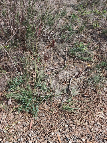
King Ranch bluestem
Bothriochloa ischaemum
Seen 2026-09-22
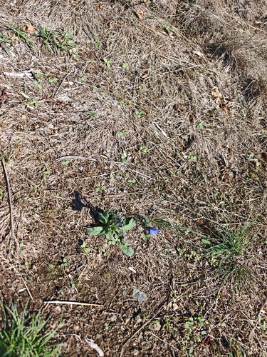
viper's-bugloss
Echium vulgare
Seen 2026-09-22
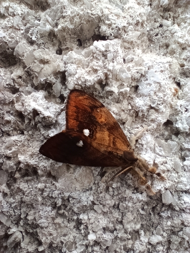
Rusty Tussock Moth
Orgyia antiqua
Seen 2026-09-22
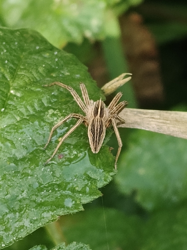
European Nursery Web spider
Pisaura mirabilis
Seen 2026-09-20
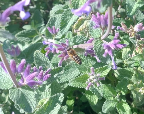
Western Honey Bee
Apis mellifera
Seen 2026-09-20
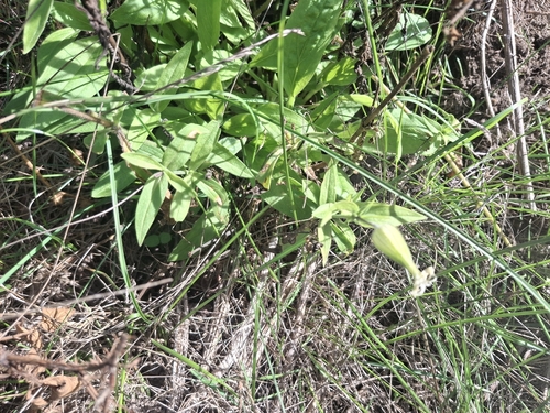
white campion
Silene latifolia
Seen 2026-09-20
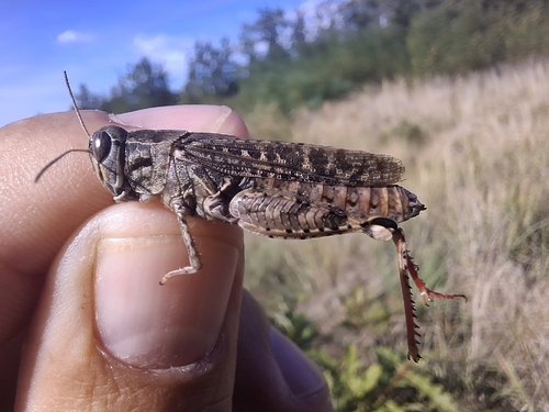
Italian locust
Calliptamus italicus
Seen 2026-09-20
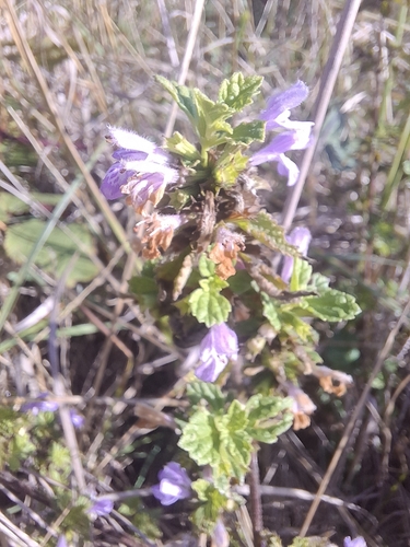
Black horehound
Ballota nigra
Seen 2026-09-20
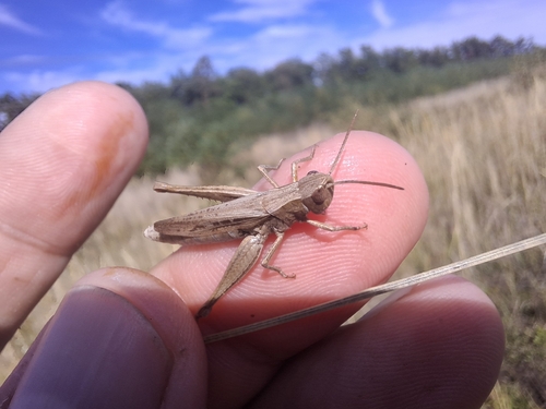
Steppe Grasshopper
Chorthippus dorsatus
Seen 2026-09-20
Research-grade observations from iNaturalist (within ~15 mi).
Events
Gallery
Official Identifiers
ČSÚ — Czech Statistical Office
- RÚIAN code
- CZ591025
- Population (Wikidata)
- 174
- Wikidata
- Q165973
RÚIAN obec ID via Wikidata P782
Sources
- • Wikipedia
- • Wikidata
- • iNaturalist
- • ČSÚ — Czech Statistical Office — RÚIAN obec ID via Wikidata P782