Browse / Czechia / South Bohemian / Lnáře
Lnáře
South Bohemianvillage

Lnáře
Total population
702
Demographic figures from Czech Statistical Office. Overview below cites Wikipedia and may reference a different year.
City facts
Facts from Wikidata (CC0).
Overview
Lnáře is a municipality and village in Strakonice District in the South Bohemian Region of the Czech Republic. It has about 700 inhabitants.
Read more on WikipediaHistory & geography
History
The first written mention of Lnáře is from 1318, when it is written about the then owner of the village Habart of Lnáře. The village of Zahorčice is first mentioned in 1383. In the 14th century, the tradition of pond farming began. Pond farming and forestry became the main source of lordship income for next centuries. The first mention of the fortress and the pond below it is from 1465. In 1899, the railway was built. The construction of the I/20 road in 1931 and 1953–1954 through Lnáře further improved the transport accessibility of the municipality.
Geography
Lnáře is located about north of Strakonice and southeast of Plzeň, in the historical region of Prácheňsko. It lies in the Blatná Uplands. The highest point is the hill Jezbyně at above sea level. The built-up area is situated on the shores of three fishponds, connected by the Lomnice River (here also called Smolivecký potok): Veský rybník, Zámecký rybník and Podhájský rybník. The fourth large pond, located in the southern part of the municipal territory, is Nový rybník.
Excerpted from the corresponding Wikipedia article (CC BY-SA).
Geography
Coordinates & boundaries from the US Census TIGER/Line shapefiles.
Climate
Air quality
Walkability
Amenities nearby
Wildlife & biodiversity
Earthquake history
Photos
Sights & places nearby
Notable people from here


People born within ~10 km, from Wikidata (CC0). Click any name for their Wikipedia article.
Nearby places in South Bohemian
- Vrbno3.9 mi away · pop. 85
- Láz10 mi away · pop. 77
- Boudy11.3 mi away · pop. 180
- Nerestce12.9 mi away · pop. 70
- Rohozná13.6 mi away · pop. 57
- Virt13.7 mi away · pop. 54
- Štěchovice14 mi away · pop. 223
- Přední Ptákovice15.8 mi away · pop. 2,591
- Vráž16.2 mi away · pop. 84
- Modlešovice16.7 mi away · pop. 161
- Kapsova Lhota16.8 mi away · pop. 91
- Přeborovice17.2 mi away
Geography & sun
Elevation, sunrise/sunset and daylight from Open-Meteo. Solar climatology from NASA POWER.
Nearby airports
Public attention
Pageview totals from the Wikimedia Pageviews API.
Books about this place
Recent natural events nearby
Ground air-quality sensors
Recently spotted species
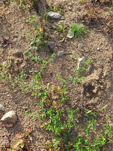
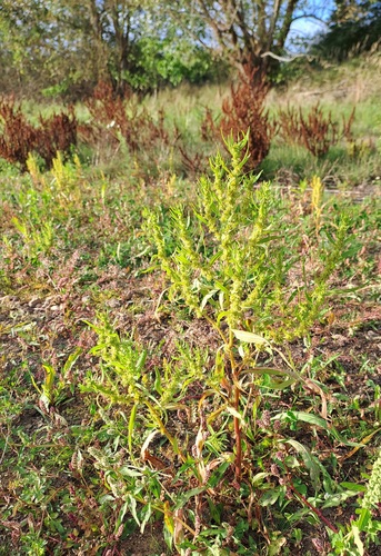
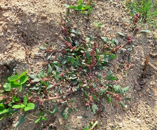
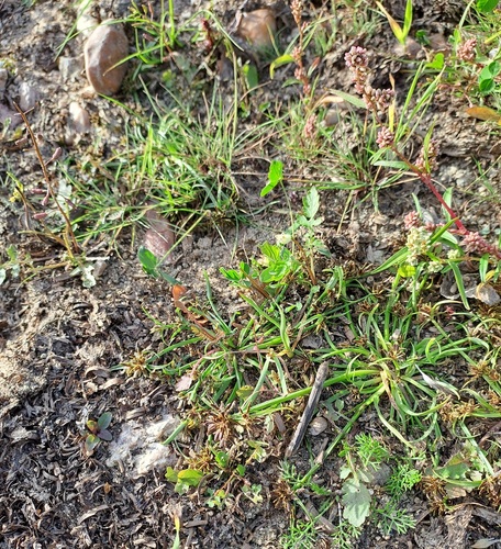
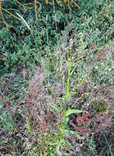
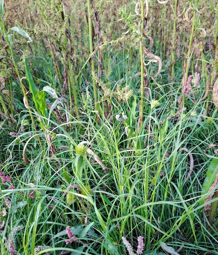
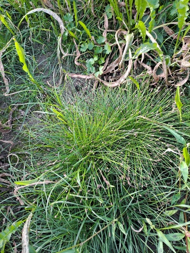
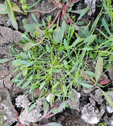
Research-grade observations from iNaturalist (within ~15 mi).
Events
Gallery
Official Identifiers
ČSÚ — Czech Statistical Office
- RÚIAN code
- CZ551350
- Population (Wikidata)
- 717
- Wikidata
- Q528071
RÚIAN obec ID via Wikidata P782
Sources
- • Wikipedia
- • Wikidata
- • iNaturalist
- • Open-Meteo / sunrise-sunset.org
- • Wikipedia Pageviews API
- • ČSÚ — Czech Statistical Office — RÚIAN obec ID via Wikidata P782