Browse / Czechia / Ústí nad Labem / Lubenec
Lubenec
Ústí nad Labemvillage

Featured view
Lubenec
Total population
1,237
Coordinates50.13°, 13.31°
Demographic figures from Czech Statistical Office. Overview below cites Wikipedia and may reference a different year.
Loading additional data from public sources…0 / 11
CensusWikipediaWeatherPlacesPeopleEnvironmentHealth & SchoolsRelatedGeography & CultureLive MonitoringEvents & Gallery
0% completeCity facts
Overview
Lubenec is a municipality and village in Louny District in the Ústí nad Labem Region of the Czech Republic. It has about 1,300 inhabitants.
History & geography
Geography
Latitude
50.1321
Longitude
13.3132
Water area
—
Coordinates & boundaries from the US Census TIGER/Line shapefiles.
Climate
Air quality
Walkability
Amenities nearby
Wildlife & biodiversity
Earthquake history
Photos
Sights & places nearby
Notable people from here
B
Barbara Bayer
Czech baker (1827–1887)
E
Eddy Fischer
German artist (1916-1992)
F
Franz Brehm
Austrian politician from Bohemia
F
Franz Hammerla
G
Gregorius Ritzsch
German writer (1584-1643)
H
Horst Willim
German politician (1927-2007)

Alfred Kohn
Czech biologist
J
Jiří Jelínek
Czech jazz musician, painter and singer (1922-1984)

František Albert
Czech Roman Catholic priest (1863–1935)
S
Simeon Vokáč z Chýš
F
Franz Gaksch
German politician

Herbert Zimmermann
German neuroscientist
F
Franz Tobisch
Czech member of Czech council and doctor
S
Severin Michalovic
D
Dionýsius Heger

Václav Zoubek
Czech artist
People born within ~10 km, from Wikidata (CC0). Click any name for their Wikipedia article.
Geography & sun
Avg solar (kWh/m²/day)
2.96
Annual solar (kWh/m²)
1,080
Elevation, sunrise/sunset and daylight from Open-Meteo. Solar climatology from NASA POWER.
Nearby airports
Public attention
Wikipedia views (last 30 days)
48
Avg daily Wikipedia views
2
Attention level
Obscure
Pageview totals from the Wikimedia Pageviews API.
Books about this place
Recent natural events nearby
Ground air-quality sensors
Recently spotted species
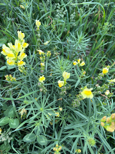
common toadflax
Linaria vulgaris
Seen 2026-09-20
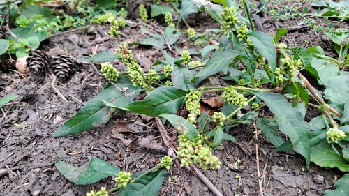
pale smartweed
Persicaria lapathifolia
Seen 2026-09-20
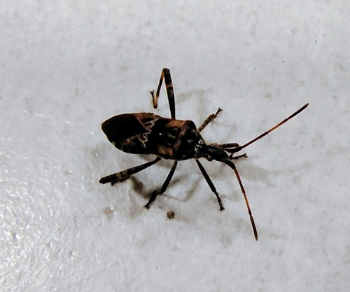
Western Conifer Seed Bug
Leptoglossus occidentalis
Seen 2026-09-09
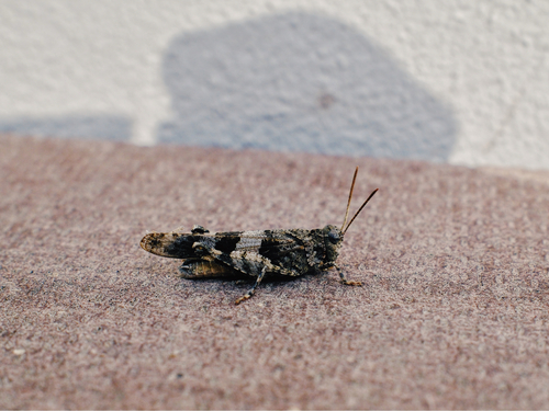
Blue-winged Grasshopper
Oedipoda caerulescens
Seen 2026-09-08
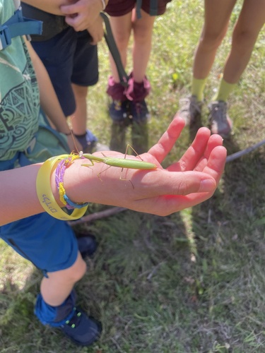
European Mantis
Mantis religiosa
Seen 2026-09-06
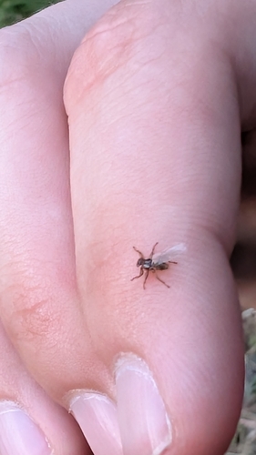
Deer Ked
Lipoptena cervi
Seen 2026-09-05
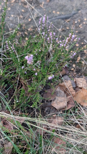
common heather
Calluna vulgaris
Seen 2026-09-05
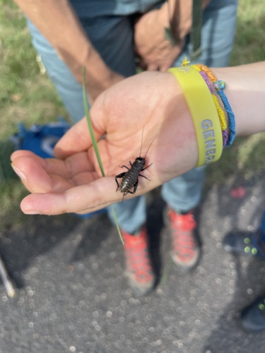
European Field Cricket
Gryllus campestris
Seen 2026-09-05
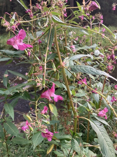
Himalayan balsam
Impatiens glandulifera
Seen 2026-08-27
Research-grade observations from iNaturalist (within ~15 mi).
Events
Gallery
Official Identifiers
ČSÚ — Czech Statistical Office
- RÚIAN code
- CZ566438
- Population (Wikidata)
- 1,301
- Wikidata
- Q1828684
RÚIAN obec ID via Wikidata P782
Sources
- • Wikipedia
- • Wikidata
- • iNaturalist
- • Open-Meteo / sunrise-sunset.org
- • Wikipedia Pageviews API
- • Wikidata SPARQL (CC0) — population, area, elevation, inception, head of government, Commons image
- • ČSÚ — Czech Statistical Office — RÚIAN obec ID via Wikidata P782