Browse / Czechia / Hradec Králové / Machov
Machov
Hradec Královévillage

Machov
Total population
538
Demographic figures from Czech Statistical Office. Overview below cites Wikipedia and may reference a different year.
City facts
Facts from Wikidata (CC0).
Overview
Machov is a market town in Náchod District in the Hradec Králové Region of the Czech Republic. It has about 1,100 inhabitants.
Read more on WikipediaHistory & geography
History
The first written mention of Machov is from 1354. It was probably founded during the colonisation of this region in the 13th century. In 1465, it is first referred to as a market town. In 1545, it became a part of the large Náchod estate. The most significant owner of Machov was Ottavio Piccolomini, during whose cruel rule began the discontent of the population leading to a peasant uprising in 1775.
Geography
Machov is located about northeast of Náchod and south of the Polish city of Wałbrzych, on the border with Poland. It lies in the Broumov Highlands. Machov, Machovská Lhota and Nízká Srbská lie in the valley of the Židovka Brook. Bělý lies on the Třeslice Brook, which flows into the Židovka in Nízká Srbská. Machov entirely lies in the Broumovsko Protected Landscape Area. Near Machov, there are important resources of drinking water thanks to a geological substratum that filters rain water.
Excerpted from the corresponding Wikipedia article (CC BY-SA).
Geography
Coordinates & boundaries from the US Census TIGER/Line shapefiles.
Climate
Air quality
Walkability
Amenities nearby
Wildlife & biodiversity
Earthquake history
Photos
Sights & places nearby
Notable people from here
Nearby places in Hradec Králové
- Královec18.1 mi away · pop. 176
- Boharyně35 mi away · pop. 186
- Králíky36.6 mi away · pop. 227
- Jivany43 mi away · pop. 88
- Piancaldoli489.6 mi away · pop. 143
- Istia-Sigliola-Greta498 mi away · pop. 93
- Traversa499.4 mi away · pop. 160
- Luco Mugello503.7 mi away · pop. 1,114
- Galliano505 mi away · pop. 1,122
- Pavana505 mi away · pop. 414
- Sasseta505.1 mi away · pop. 275
- Cavarzano506.1 mi away · pop. 226
Geography & sun
Elevation, sunrise/sunset and daylight from Open-Meteo. Solar climatology from NASA POWER.
Nearby airports
Public attention
Pageview totals from the Wikimedia Pageviews API.
Books about this place
Recent natural events nearby
Ground air-quality sensors
Recently spotted species
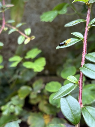
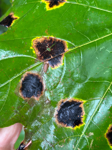
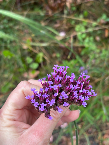
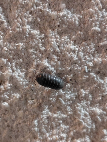
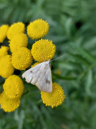
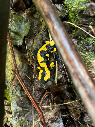
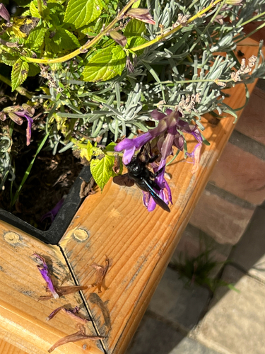
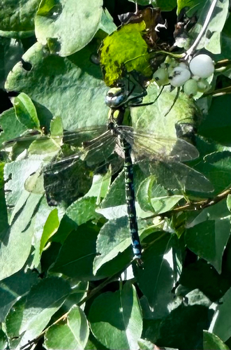
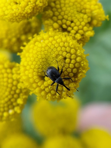
Research-grade observations from iNaturalist (within ~15 mi).
Events
Gallery
Official Identifiers
ČSÚ — Czech Statistical Office
- RÚIAN code
- CZ574210
- Population (Wikidata)
- 1,049
- Wikidata
- Q1882745
RÚIAN obec ID via Wikidata P782
Sources
- • Wikipedia
- • Wikidata
- • iNaturalist
- • Open-Meteo / sunrise-sunset.org
- • Wikipedia Pageviews API
- • ČSÚ — Czech Statistical Office — RÚIAN obec ID via Wikidata P782