Browse / Czechia / Plzeň / Manětín
Manětín
Plzeňtown

Manětín
Total population
1,125
Demographic figures from Czech Statistical Office. Overview below cites Wikipedia and may reference a different year.
City facts
Facts from Wikidata (CC0).
Overview
Manětín is a town in Plzeň-North District in the Plzeň Region of the Czech Republic. It has about 1,100 inhabitants. The historic town centre and the centre of Rabštejn nad Střelou are well preserved and both are protected as two urban monument zones.
Read more on WikipediaHistory & geography
History
The first written mention of Manětín is from 1169, when King Vladislaus II donated the settlement to the order of Knights Hospitaller. The order had built here a commandery, town walls, and a fortress with a monastery. They owned Manětín until 1420, when King Sigismund gave the town to Bohuslav of Švamberk. From a legal point of view, the town belonged to the Knights Hospitaller until 1483, when the Švamberks paid them off. In 1544, the Švamberk family sold Manětín to Volf the Younger Krajíř of Krajek. In 1548, it was acquired by the Schlick family. They replaced the old fortress with a Renaissance castle and greatly expanded the estate. They had to sell the estate in 1617 because of debts. During the Thirty Years' War, internal disputes took place in the town and owners changed rapidly. In 1639, Manětín was inherited by the Lažanský family, who held it until 1945. In 1712, a huge fire destroyed half of the town with the castle, church and school. Immediately after the fire, Václav Josef Lažanský had completely rebuilt the castle according to the plans by Jan Santini Aichel.
Excerpted from the corresponding Wikipedia article (CC BY-SA).
Geography
Coordinates & boundaries from the US Census TIGER/Line shapefiles.
Climate
Air quality
Walkability
Amenities nearby
Wildlife & biodiversity
Earthquake history
Photos
Sights & places nearby
Notable people from here


People born within ~10 km, from Wikidata (CC0). Click any name for their Wikipedia article.
Geography & sun
Elevation, sunrise/sunset and daylight from Open-Meteo. Solar climatology from NASA POWER.
Nearby airports
Public attention
Pageview totals from the Wikimedia Pageviews API.
Books about Manětín
Search results from Open Library.
Recent natural events nearby
Ground air-quality sensors
Recently spotted species
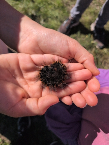
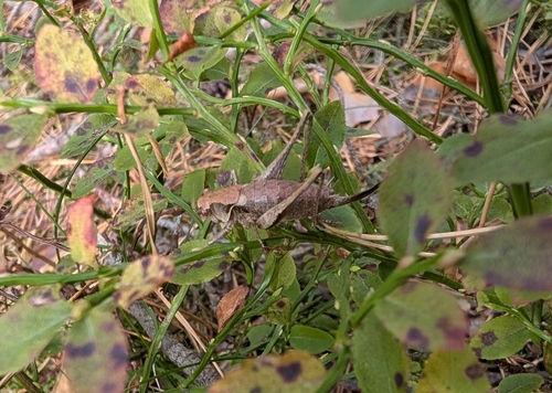
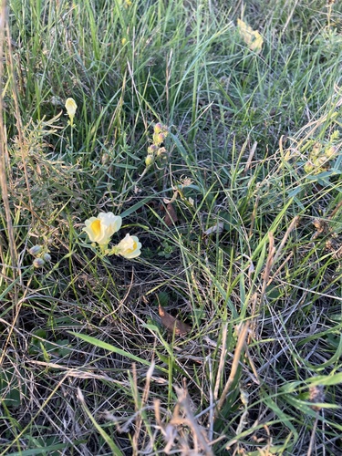
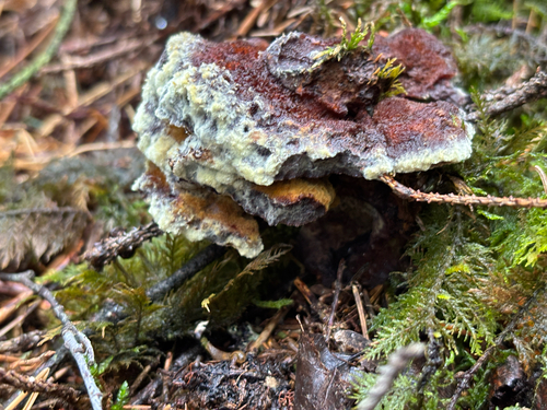
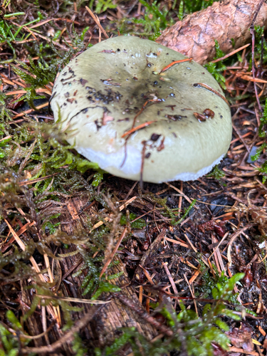
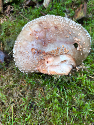
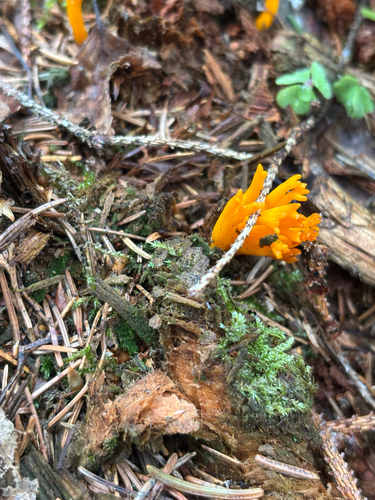
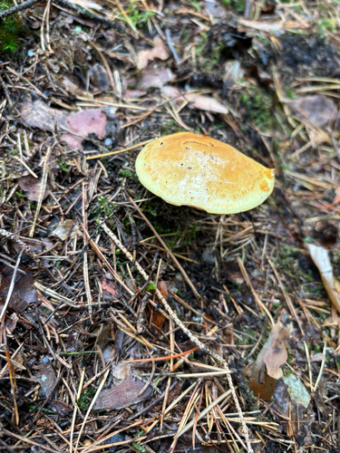
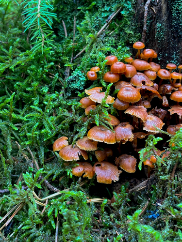
Research-grade observations from iNaturalist (within ~15 mi).
Events
Gallery
Official Identifiers
ČSÚ — Czech Statistical Office
- RÚIAN code
- CZ559202
- Population (Wikidata)
- 1,136
- Wikidata
- Q1641748
RÚIAN obec ID via Wikidata P782
Sources
- • Wikipedia
- • Wikidata
- • iNaturalist
- • Open-Meteo / sunrise-sunset.org
- • Wikipedia Pageviews API
- • Open Library
- • ČSÚ — Czech Statistical Office — RÚIAN obec ID via Wikidata P782