Browse / Czechia / Vysočina / Mělkovice
Mělkovice
Vysočinavillage

Mělkovice
Total population
63
Demographic figures from Czech Statistical Office. Overview below cites Wikipedia and may reference a different year.
City facts
Facts from Wikidata (CC0).
Overview
Mělkovice is a village and municipal part of Žďár nad Sázavou in Žďár nad Sázavou District in the Vysočina Region of the Czech Republic. It has about 120 inhabitants. It is located in the eastern part of the town's territory.
Read more on WikipediaHistory & geography
History
The first written mention of Mělkovice is in a local urbarium from 1407. Further mentions date from the 16th century. Since 1670s, the land was administered by local manorial lords, which sold the land after the dissolution of Žďár Monastery. Since 1850, Mělkovice has been a municipal part of Žďár nad Sázavou.
Excerpted from the corresponding Wikipedia article (CC BY-SA).
Geography
Coordinates & boundaries from the US Census TIGER/Line shapefiles.
Climate
Air quality
Walkability
Amenities nearby
Wildlife & biodiversity
Earthquake history
Photos
Sights & places nearby
Notable people from here
Nearby places in Vysočina
- Veselíčko1 mi away · pop. 193
- Lhotka1.8 mi away · pop. 138
- Slavkovice2.1 mi away · pop. 412
- Vatín2.5 mi away · pop. 324
- Radonín2.5 mi away · pop. 71
- Hlinné3.2 mi away · pop. 174
- Stržanov3.5 mi away · pop. 230
- Sazomín3.5 mi away · pop. 209
- Budeč3.6 mi away · pop. 180
- Vlachovice3.6 mi away · pop. 120
- Sklené3.6 mi away · pop. 95
- Petrovice3.6 mi away · pop. 210
Geography & sun
Nearby airports
Public attention
Books about this place
Recent natural events nearby
Ground air-quality sensors
Recently spotted species
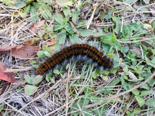
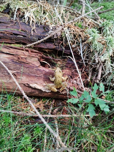
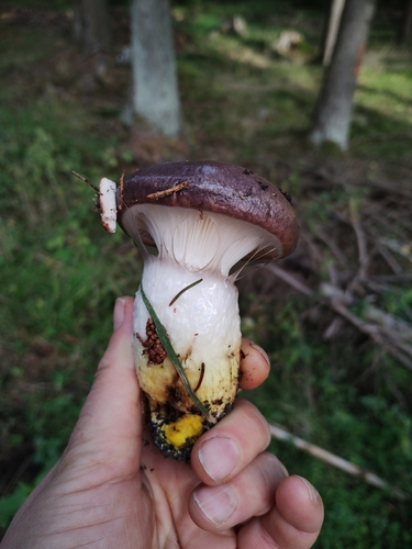
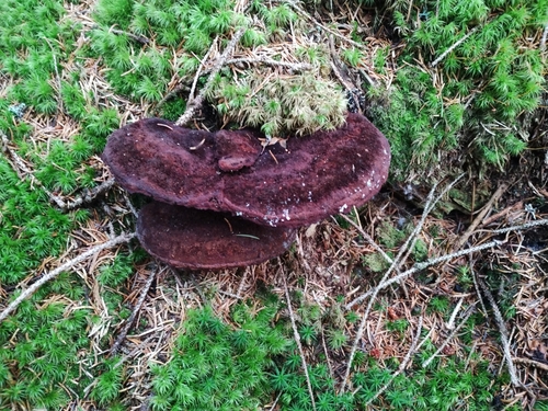
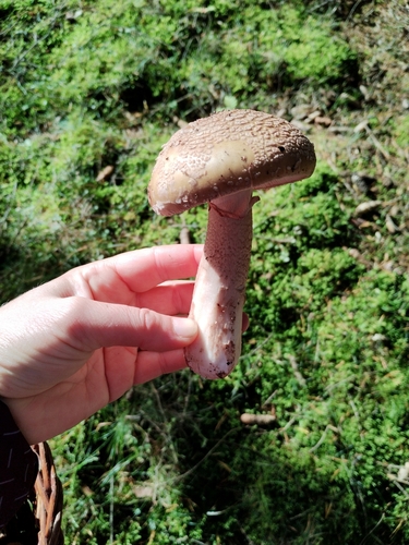
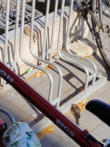
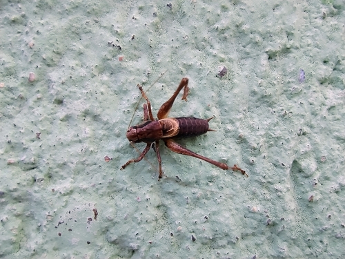
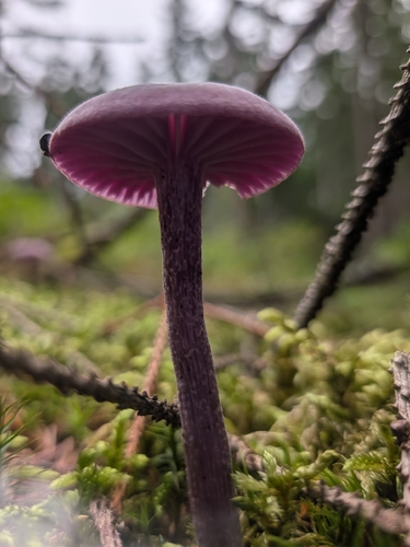
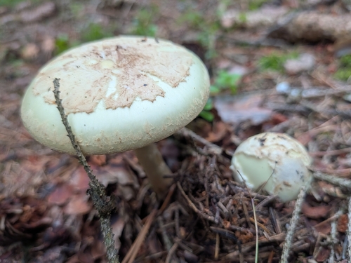
Research-grade observations from iNaturalist (within ~15 mi).
Events
Gallery
Sources
- • Wikipedia
- • Wikidata
- • iNaturalist