Browse / Czechia / Ústí nad Labem / Meziboří
Meziboří
Ústí nad Labemtown

Meziboří
Total population
4,969
Demographic figures from Czech Statistical Office. Overview below cites Wikipedia and may reference a different year.
City facts
Sister cities
Facts from Wikidata (CC0).
Overview
Meziboří is a town in Most District in the Ústí nad Labem Region of the Czech Republic. It has about 4,500 inhabitants. The town is located in the Ore Mountains. Meziboří was originally a small village, expanded in the 1950s to a town.
Read more on WikipediaHistory & geography
History
The first written mention of Šenbach is from 1398. For centuries, the inhabitants have subsisted on agriculture, especially the cultivation of rye, oats, potatoes, cattle grazing and forestry. It remained so even at the beginning of industrialisation in the second half of the 19th century. The number of inhabitants in the surrounding villages, which depended on coal mining, increased, but in Šenbach the population did not change. Fields on mountain slopes surrounded by forests on all sides could not feed more people. The development of Šenbach was determined by an organised recruitment program for apprentices for heavy industries, announced in 1949 by President Klement Gottwald. In September 1950, the first dormitory for 360 mining apprentices was opened, and in January 1951, a dormitory was opened for another 360 apprentices at the chemical school. In 1952, a girls' apprentice dormitory for miners and excavators was opened. At that time, the town's population reached two thousand. Between 1953 and 1968, a housing estate with fifteen hundred flats was being built. Most of the houses of the old village was demolished and only 11 are preserved to this day. In 1957, the town was renamed Meziboří.
Geography
Meziboří is located about north of Most. The entire municipal territory lies in the Ore Mountains. The highest point is the mountain Černý vrch at above sea level.
Excerpted from the corresponding Wikipedia article (CC BY-SA).
Geography
Coordinates & boundaries from the US Census TIGER/Line shapefiles.
Climate
10-year averages from ERA5 reanalysis (Open-Meteo).
Air quality
Walkability
Amenities nearby
Wildlife & biodiversity
Earthquake history
Photos
Sights & places nearby
Notable people from here


People born within ~10 km, from Wikidata (CC0). Click any name for their Wikipedia article.
Geography & sun
Elevation, sunrise/sunset and daylight from Open-Meteo. Solar climatology from NASA POWER.
Nearby airports
Public attention
Pageview totals from the Wikimedia Pageviews API.
Books about this place
Recent natural events nearby
Ground air-quality sensors
Recently spotted species
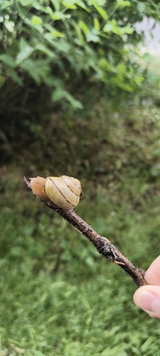
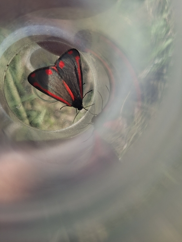
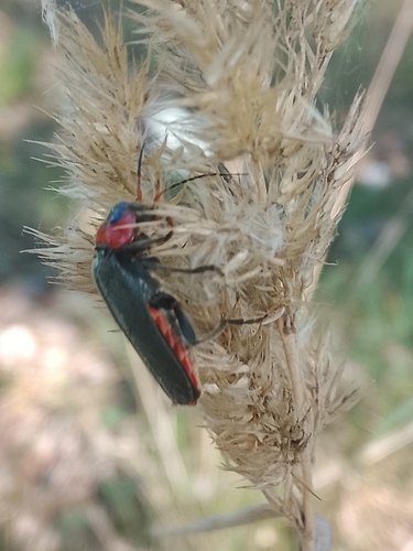
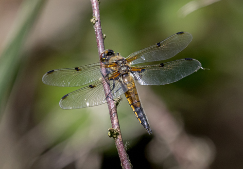
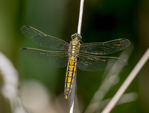
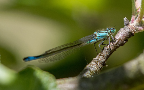
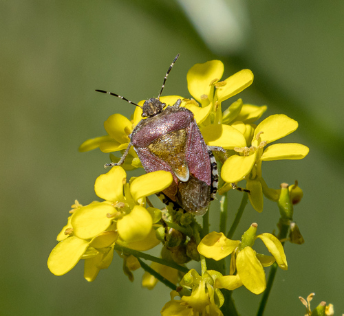
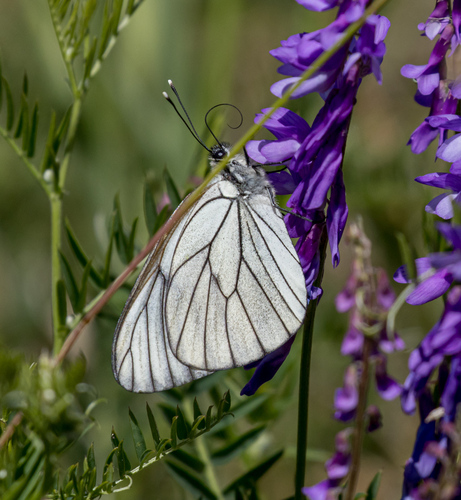
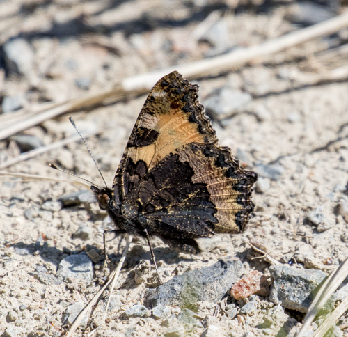
Research-grade observations from iNaturalist (within ~15 mi).
Events
Gallery
Geotagged photos within ~6 miles of Meziboří, from Wikimedia Commons contributors.
 1.1 mi
 1.2 mi
 1.2 mi
 1.2 mi
 1.2 mi
 1.2 mi
 1.2 mi
 1.2 mi
 1.2 mi
 1.2 mi
 1.2 mi
 1.2 mi
 1.2 mi
 1.2 mi
 1.2 mi
 1.2 mi
 1.2 mi
 1.2 mi
 1.2 mi
 1.3 mi
 1.3 mi
 1.3 mi
 1.4 mi
 1.4 mi
Photos via Wikimedia Commons — see each image page for license & attribution.
Official Identifiers
ČSÚ — Czech Statistical Office
- RÚIAN code
- CZ567311
- Population (Wikidata)
- 4,597
- Wikidata
- Q1021103
RÚIAN obec ID via Wikidata P782
Sources
- • Wikipedia
- • Open-Meteo (ERA5 reanalysis)
- • Wikimedia Commons
- • Wikidata
- • iNaturalist
- • Open-Meteo / sunrise-sunset.org
- • Wikipedia Pageviews API
- • Wikidata SPARQL (CC0) — population, area, elevation, inception, head of government, Commons image
- • ČSÚ — Czech Statistical Office — RÚIAN obec ID via Wikidata P782