Browse / Czechia / Central Bohemian / Milovice
Milovice
Central Bohemiantown

Milovice
Total population
3,981
Demographic figures from Czech Statistical Office. Overview below cites Wikipedia and may reference a different year.
City facts
Facts from Wikidata (CC0).
Overview
Milovice is a town in Nymburk District in the Central Bohemian Region of the Czech Republic. It has about 15,000 inhabitants.
Read more on WikipediaHistory & geography
History
The first written mention of Milovice is from 1396. Since the 1990s, the town Milovice belongs to the fastest growing suburban areas in the Czech Republic mainly thanks to cheap accommodation left by the Soviet Army. The first military base was founded in Mladá by the Austro-Hungarian Army in 1904. They built a massive airport and accommodation for about 100,000 Soviet soldiers and their relatives. The last of the troops left in 1991 and the base was abandoned in 1995. In August 1996, the revitalisation of the former military training area began.
Geography
Milovice is located about northwest of Nymburk and northeast of Prague. The western part of the municipal territory lies in the Jizera Table and the eastern part lies in the Central Elbe Table. The Mlynařice Stream, a tributary of the Elbe, flows through the territory. Milovice is known for the Milovice Nature Reserve. In January 2015, a group of 14 Exmoor ponies was moved from Exmoor National Park to Milovice Nature Reserve in an effort to save the biodiversity of the location through conservation grazing. Other animals in the reserve include aurochs and European bisons.
Excerpted from the corresponding Wikipedia article (CC BY-SA).
Geography
Coordinates & boundaries from the US Census TIGER/Line shapefiles.
Climate
Air quality
Walkability
Amenities nearby
Wildlife & biodiversity
Earthquake history
Photos
Sights & places nearby
Notable people from here


People born within ~10 km, from Wikidata (CC0). Click any name for their Wikipedia article.
Geography & sun
Nearby airports
Public attention
Books about this place
Recent natural events nearby
Ground air-quality sensors
Recently spotted species
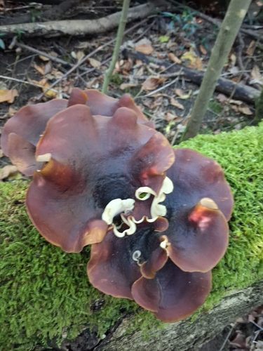
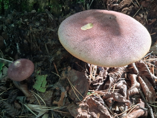
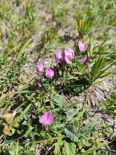
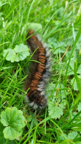
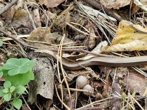
Research-grade observations from iNaturalist (within ~15 mi).
Events
Gallery
Sources
- • Wikipedia
- • Wikidata
- • iNaturalist
- • Wikidata SPARQL (CC0) — population, area, elevation, inception, head of government, Commons image