Browse / Czechia / Liberec / Mimoň
Mimoň
Liberectown

Mimoň
Total population
6,647
Demographic figures from Czech Statistical Office. Overview below cites Wikipedia and may reference a different year.
City facts
Facts from Wikidata (CC0).
Overview
Mimoň is a town in Česká Lípa District in the Liberec Region of the Czech Republic. It has about 6,300 inhabitants. The town is located on the Ploučnice River in the Ralsko Uplands.
Read more on WikipediaHistory & geography
History
The oldest archaeological finds from the area around Mimoň are from the Neolithic and the Bronze Age. The first Slavic settlements appeared in the 5th century, later German colonists came. The first written mention of Mimoň is from 1352, when it was a parish village. Mimoň was then mentioned in 1371 as a customs post on an old trading route from Zittau to Prague. At the time, the village was under the control of the Lords of Vartenberk. After the Revolutionary events in 1848, Mimoň became part of the judicial district of Niemes for the Habsburg Crownland of Bohemia (and later for Austria-Hungary). This district included 26 small villages in a large wooded area east of Mimoň such as Kuřívody, Hvězdov, Hradčany, Vranov, Svébořice, Černá Novina, Strážov, Stráž pod Ralskem and Olšina. In 1883, the first railway station of the Imperial Royal Austrian State Railways was completed in Mimoň. At the end of the 19th century, Mimoň had a furniture factory, cloth and cotton weaving companies, a tannery and a beer brewery. Agriculture and forestry was also practiced. After World War I and the Dissolution of Austria-Hungary, Mimoň became part of newly created Czechoslovakia in late October 1918. German citizens in Mimoň protested until Czech soldiers entered the town to keep order. In 1930, the population was of Mimoň was over 6,000 people, of which over 5,000 people were German-speaking. From 6 to 11 May 1945, during the Prague Offensive, Czechoslovakia was liberated by the Soviet Red Army and Czech freedom fighters. The Red Army bombed Mimoň by air and arrived in Mimoň on 10 May 1945. After World War II, most of the German-speaking population was expelled and the town was re-populated by Czechs. In 2010, Mimoň was hit by a severe flood. Afterwards, the town made extensive…
Geography
Mimoň is located about east of Česká Lípa and southwest of Liberec. It lies in the Ralsko Uplands. The highest point is below the mountain Ralsko at above sea level. The town is situated at the confluence of the Ploučnice River and the stream Panenský potok. In the municipal territory is a system of four breeding fishponds fed by the Ploučnice, called Mimoňské rybníky ('Mimoň ponds').
Excerpted from the corresponding Wikipedia article (CC BY-SA).
Geography
Coordinates & boundaries from the US Census TIGER/Line shapefiles.
Climate
Air quality
Walkability
Amenities nearby
Wildlife & biodiversity
Most-observed species
- Eurasian BlackbirdTurdus merula Linnaeus, 1758 · Aves1,099
- Great TitParus major Linnaeus, 1758 · Aves991
- MallardAnas platyrhynchos Linnaeus, 1758 · Aves991
- Eurasian Blue TitCyanistes caeruleus (Linnaeus, 1758) · Aves940
- Great Spotted WoodpeckerDendrocopos major (Linnaeus, 1758) · Aves873
- Common ChiffchaffPhylloscopus collybita (Vieillot, 1817) · Aves824
- Common BuzzardButeo buteo (Linnaeus, 1758) · Aves819
- Gray/Purple HeronArdea cinerea Linnaeus, 1758 · Aves788
Citizen-science & research observations from the Global Biodiversity Information Facility (GBIF).
Earthquake history
Most recent
- M 3.1 — 2008-08-134 km NE of Kodersdorf, Germany
- M 2.5 — 2007-12-023 km NNW of Zagrodno, Poland
- M 2.5 — 2007-11-011 km SSE of Zagrodno, Poland
- M 2.7 — 2007-02-015 km ENE of Boles?awiec, Poland
- M 2.5 — 2006-09-085 km W of Z?otoryja, Poland
- M 2.7 — 2006-04-048 km W of Olszanica, Poland
Events from the USGS Earthquake Catalog (global) (FDSN Event Web Service).
Photos
Sights & places nearby
Notable people from here


People born within ~10 km, from Wikidata (CC0). Click any name for their Wikipedia article.
Nearby places in Liberec
- Pertoltice pod Ralskem1.5 mi away · pop. 297
- Bohatice2.1 mi away · pop. 155
- Ploužnice2.4 mi away · pop. 638
- Noviny pod Ralskem2.5 mi away · pop. 248
- Hradčany2.9 mi away · pop. 142
- Hvězdov2.9 mi away · pop. 96
- Kamenice3.1 mi away · pop. 162
- Velký Grunov3.3 mi away · pop. 427
- Nový Luhov3.5 mi away · pop. 59
- Luhov3.8 mi away · pop. 109
- Hlemýždí3.9 mi away · pop. 192
- Jáchymov4.3 mi away · pop. 117
Geography & sun
Elevation, sunrise/sunset and daylight from Open-Meteo. Solar climatology from NASA POWER.
Nearby airports
Public attention
Pageview totals from the Wikimedia Pageviews API.
Books about this place
Recent natural events nearby
Ground air-quality sensors
Recently spotted species
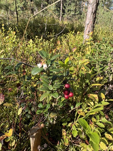
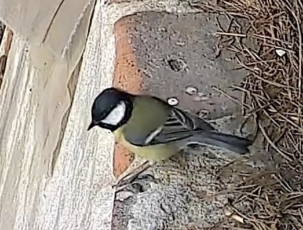
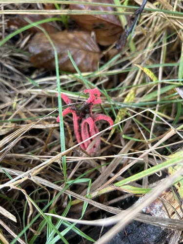
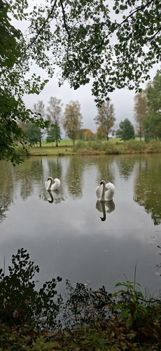
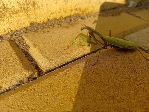
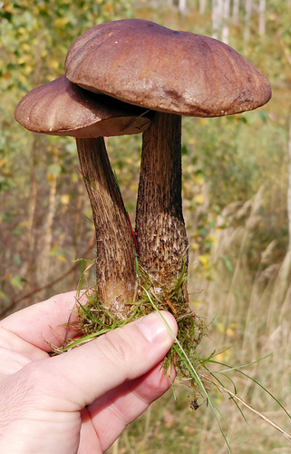
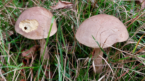
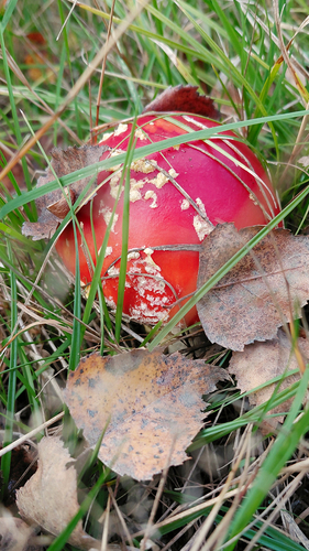
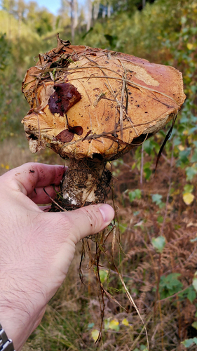
Research-grade observations from iNaturalist (within ~15 mi).
Events
Gallery
Official Identifiers
ČSÚ — Czech Statistical Office
- RÚIAN code
- CZ561835
- Population (Wikidata)
- 6,387
- Wikidata
- Q149229
RÚIAN obec ID via Wikidata P782
Sources
- • Wikipedia
- • Wikidata
- • USGS Earthquake Catalog (global feed)
- • GBIF (Global Biodiversity Information Facility)
- • iNaturalist
- • Open-Meteo / sunrise-sunset.org
- • Wikipedia Pageviews API
- • Wikidata SPARQL (CC0) — population, area, elevation, inception, head of government, Commons image
- • ČSÚ — Czech Statistical Office — RÚIAN obec ID via Wikidata P782