Browse / Czechia / South Bohemian / Mladá Vožice
Mladá Vožice
South Bohemiantown

Mladá Vožice
Total population
2,690
Demographic figures from Czech Statistical Office. Overview below cites Wikipedia and may reference a different year.
City facts
Facts from Wikidata (CC0).
Overview
Mladá Vožice is a town in Tábor District in the South Bohemian Region of the Czech Republic. It has about 2,700 inhabitants.
Read more on WikipediaHistory & geography
History
The area of today's Mladá Vožice began to settle between 711 and 796. Duke Spytihněv I founded here a castle for storing gold and silver which were mined here. The first written mention of Mladá Vožice is from 1273, when the probable first owner of the settlement, Stanimír of Vožice, was mentioned. Mladá Vožice goods were probably owned by the royal chamber but were frequently pawned or lent to feudal lords for services to the king. One of the first ones was Vilém of Vožice who possessed the estate until 1318. From 1318 to 1425, Mladá Vožice was owned by the Lords of Landštejn, Lords of Janovice, Lords of Orlík, Lords of Pacov and the Ronovci family. The town and neighbourhood of Mladá Vožice was a purely agricultural area until 1945, and the change towards industrialisation only began after the liberation. Until 1947 Mladá Vožice had been a court district in the political Tábor District. Since 1949, after the change in the political and state system, Mladá Vožice was included in the newly established district of Votice in Prague Region. After the land reorganisation of 1960, Mladá Vožice fell under the Tábor District in the South Bohemian Region. In 1975–1980, several small villages and hamlets were merged with the town of Mladá Vožice into one municipality but in 1990, Běleč, Hlasivo, Řemíčov and Vilice became again independent municipalities.
Geography
Mladá Vožice is located about northeast of Tábor and southeast of Prague. It lies mostly in the Vlašim Uplands. The southeastern part of the municipal territory extends into the Křemešník Highlands and includes the highest point of Mladá Vožice, the hill Bušová at above sea level. The town is situated on the Blanice River. There are several fishponds in the territory, the largest of which is Podhradní rybník.
Excerpted from the corresponding Wikipedia article (CC BY-SA).
Geography
Coordinates & boundaries from the US Census TIGER/Line shapefiles.
Climate
Air quality
Walkability
Amenities nearby
Wildlife & biodiversity
Earthquake history
Photos
Sights & places nearby
Notable people from here


People born within ~10 km, from Wikidata (CC0). Click any name for their Wikipedia article.
Nearby places in South Bohemian
- Babčice5.9 mi away · pop. 30
- Vřesce6.5 mi away · pop. 88
- Jeníčkova Lhota6.8 mi away · pop. 95
- Malešín7 mi away · pop. 39
- Horní Hořice7.3 mi away · pop. 73
- Dobronice u Chýnova7.3 mi away · pop. 143
- Velmovice7.4 mi away · pop. 70
- Prasetín7.7 mi away · pop. 63
- Kloužovice7.8 mi away · pop. 174
- Pořín9 mi away · pop. 174
- Nový Kostelec9.5 mi away · pop. 45
- Libenice10.6 mi away · pop. 56
Geography & sun
Elevation, sunrise/sunset and daylight from Open-Meteo. Solar climatology from NASA POWER.
Nearby airports
Public attention
Pageview totals from the Wikimedia Pageviews API.
Books about this place
Recent natural events nearby
Ground air-quality sensors
Recently spotted species
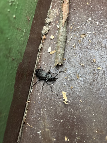
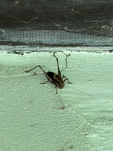
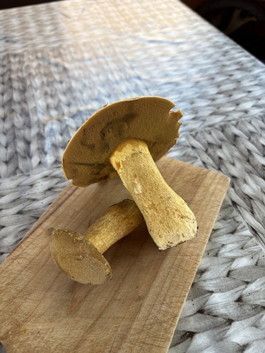
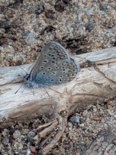
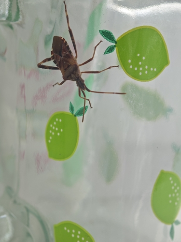
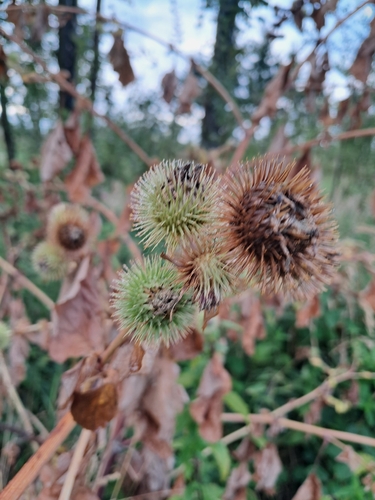
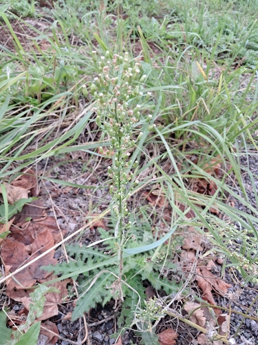
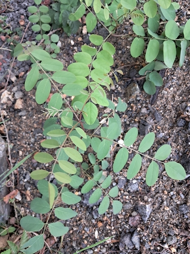
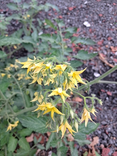
Research-grade observations from iNaturalist (within ~15 mi).
Events
Gallery
Official Identifiers
ČSÚ — Czech Statistical Office
- RÚIAN code
- CZ552704
- Population (Wikidata)
- 2,705
- Wikidata
- Q1456612
RÚIAN obec ID via Wikidata P782
Sources
- • Wikipedia
- • Wikidata
- • iNaturalist
- • Open-Meteo / sunrise-sunset.org
- • Wikipedia Pageviews API
- • Wikidata SPARQL (CC0) — population, area, elevation, inception, head of government, Commons image
- • ČSÚ — Czech Statistical Office — RÚIAN obec ID via Wikidata P782