Browse / Czechia / Hradec Králové / Mlázovice
Mlázovice
Hradec Královévillage

Mlázovice
Total population
587
Demographic figures from Czech Statistical Office. Overview below cites Wikipedia and may reference a different year.
City facts
Facts from Wikidata (CC0).
Overview
Mlázovice is a market town in Jičín District in the Hradec Králové Region of the Czech Republic. It has about 600 inhabitants.
Read more on WikipediaHistory & geography
History
The first written mention of Mlázovice is from 1360, when there was a fortress owned by Jiřík of Mlázovice. The owners of Mlázovice often changed. In 1424, during the Hussite Wars, the fortress and the village were burned down, but the village recovered. In 1540, during the rule of the Karlík of Nežetice family, Mlázovice was promoted to a market town. In 1594, Mlázovice was acquired by the Smiřický family and annexed to the Hořice estate.
Geography
Mlázovice is located about east of Jičín and northwest of Hradec Králové. It lies in the Jičín Uplands. The highest point is the hill Maxinec at above sea level. The Javorka River flows along the eastern municipal border.
Excerpted from the corresponding Wikipedia article (CC BY-SA).
Geography
Coordinates & boundaries from the US Census TIGER/Line shapefiles.
Climate
Air quality
Walkability
Amenities nearby
Wildlife & biodiversity
Earthquake history
Photos
Sights & places nearby
Notable people from here


People born within ~10 km, from Wikidata (CC0). Click any name for their Wikipedia article.
Nearby places in Hradec Králové
- Králíky10.5 mi away · pop. 227
- Jivany12 mi away · pop. 88
- Boharyně15.2 mi away · pop. 186
- Královec27 mi away · pop. 176
- Piancaldoli468.9 mi away · pop. 143
- Istia-Sigliola-Greta477.2 mi away · pop. 93
- Traversa478.4 mi away · pop. 160
- Luco Mugello483.2 mi away · pop. 1,114
- Pavana483.4 mi away · pop. 414
- Sasseta483.9 mi away · pop. 275
- Galliano484.3 mi away · pop. 1,122
- Cavarzano484.9 mi away · pop. 226
Geography & sun
Elevation, sunrise/sunset and daylight from Open-Meteo. Solar climatology from NASA POWER.
Nearby airports
Public attention
Pageview totals from the Wikimedia Pageviews API.
Books about this place
Recent natural events nearby
Ground air-quality sensors
Recently spotted species
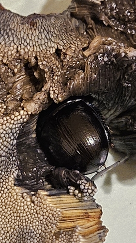
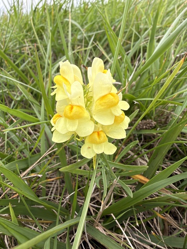
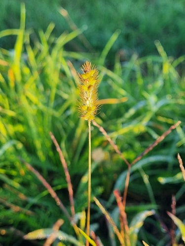
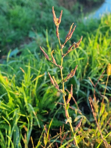
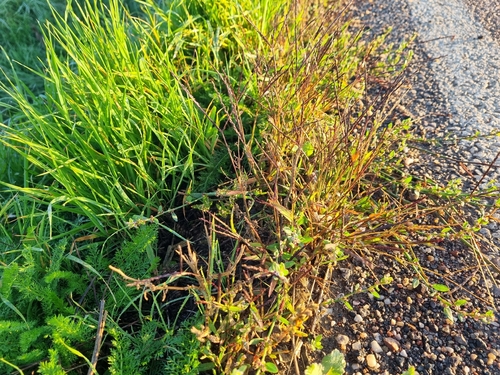
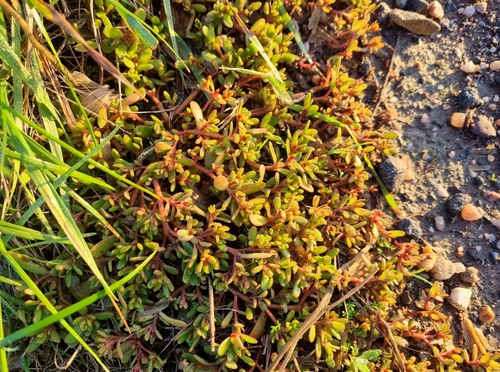
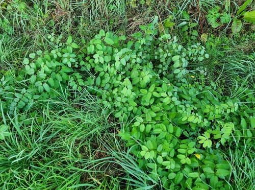
Research-grade observations from iNaturalist (within ~15 mi).
Events
Gallery
Official Identifiers
ČSÚ — Czech Statistical Office
- RÚIAN code
- CZ573213
- Population (Wikidata)
- 557
- Wikidata
- Q2861721
RÚIAN obec ID via Wikidata P782
Sources
- • Wikipedia
- • Wikidata
- • iNaturalist
- • Open-Meteo / sunrise-sunset.org
- • Wikipedia Pageviews API
- • ČSÚ — Czech Statistical Office — RÚIAN obec ID via Wikidata P782