Browse / Czechia / South Moravian / Moravský Krumlov
Moravský Krumlov
South Moraviantown

Moravský Krumlov
Total population
5,758
Demographic figures from Czech Statistical Office. Overview below cites Wikipedia and may reference a different year.
City facts
Facts from Wikidata (CC0).
Overview
Moravský Krumlov is a town in Znojmo District in the South Moravian Region of the Czech Republic. It has about 5,600 inhabitants. The Rokytná River flows through the town.
Read more on WikipediaHistory & geography
History
The foundation of the town is connected with the construction of a stone castle, which was probably initiated by order of Ottokar II of Bohemia. The first written mention about Moravský Krumlov is however from 1289. Between 1313 and 1315, the estate was acquired by the Lords of Lipá. In 1354, an Augustinian monastery was founded here. In 1358, the town was acquired by the Lords of Kravaře. During the Hussite Wars, the town was occupied by the Hussites and served as their military base. After the wars, the lords of Lipá regained the town. In the 16th century, the old castle was rebuilt into a comfortable Renaissance residence, and became a significant centre of cultural and social events. As lords of Lipá belonged to the losing side in the revolt against the emperor, the estate was confiscated and in 1622 sold to the House of Liechtenstein. During the Thirty Years' War in 1645, the town was occupied by the Swedish army, which looted the town and devastated the castle. During the Napoleonic Wars, Moravský Krumlov was twice occupied by Napoleon and his soldiers. The town took a long time to recover from the consequences of the wars. During the first half of the 19th century, the town has lost its political, economic and cultural significance. The economic growth began after the construction of the Brno–Znojmo railway in 1871, although it was away. From the 1880s, ethnic conflicts began to escalate in Moravský Krumlov. The ethnic Germans formed about two thirds of the population. In 1908, the Kinsky family inherited the castle. In 1938, the majority of the Czech and Jewish population was forced to leave the town. On the last night of World War II (7 May 1945), the town was heavily bombed by Soviet air forces. As a result, three quarters of the town lay in ruins. The…
Geography
Moravský Krumlov is located about northeast of Znojmo and southwest of Brno. The municipal territory lies in three geomorphological regions. The central part with the town proper lies in the Boskovice Furrow. The western part extends into the Jevišovice Uplands. The eastern part with the forested hills lies in the Bobrava Highlands and includes the highest point of the territory, the hill U Stavení at above sea level. The Rokytná River flows through the town.
Excerpted from the corresponding Wikipedia article (CC BY-SA).
Geography
Coordinates & boundaries from the US Census TIGER/Line shapefiles.
Climate
Air quality
Walkability
Amenities nearby
Wildlife & biodiversity
Most-observed species
- Great TitParus major Linnaeus, 1758 · Aves1,317
- Eurasian Blue TitCyanistes caeruleus (Linnaeus, 1758) · Aves1,067
- Eurasian BlackbirdTurdus merula Linnaeus, 1758 · Aves1,062
- Great Spotted WoodpeckerDendrocopos major (Linnaeus, 1758) · Aves884
- Common ChaffinchFringilla coelebs Linnaeus, 1758 · Aves876
- MallardAnas platyrhynchos Linnaeus, 1758 · Aves872
- Common BuzzardButeo buteo (Linnaeus, 1758) · Aves828
- Eurasian NuthatchSitta europaea Linnaeus, 1758 · Aves811
Citizen-science & research observations from the Global Biodiversity Information Facility (GBIF).
Earthquake history
Most recent
- M 3 — 2006-03-211 km NNW of Bystré, Czechia
Events from the USGS Earthquake Catalog (global) (FDSN Event Web Service).
Photos
Sights & places nearby
Notable people from here
Geography & sun
Elevation, sunrise/sunset and daylight from Open-Meteo. Solar climatology from NASA POWER.
Nearby airports
Public attention
Pageview totals from the Wikimedia Pageviews API.
Books about this place
Recent natural events nearby
Ground air-quality sensors
Recently spotted species
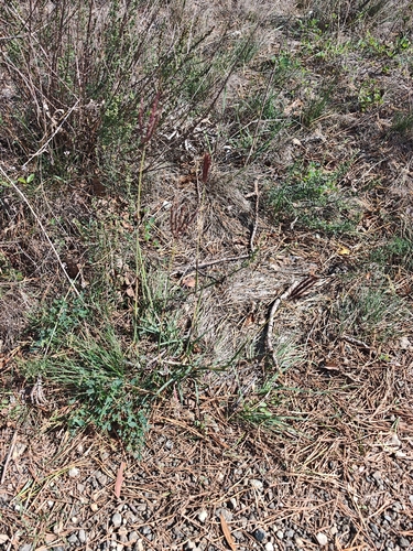
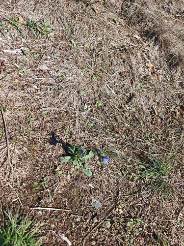
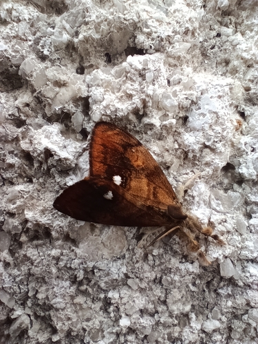
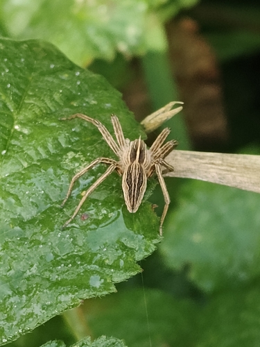
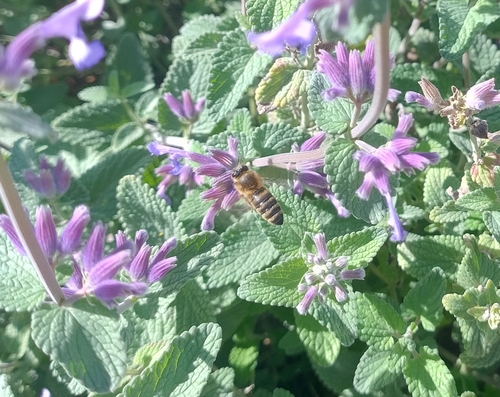
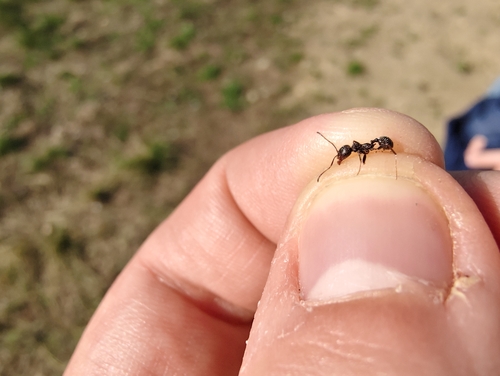
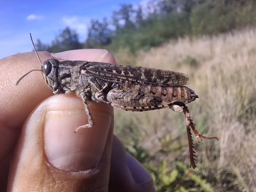
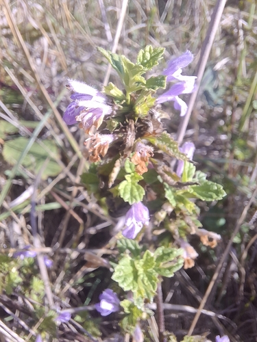
Research-grade observations from iNaturalist (within ~15 mi).
Events
Gallery
Official Identifiers
ČSÚ — Czech Statistical Office
- RÚIAN code
- CZ594482
- Population (Wikidata)
- 5,667
- Wikidata
- Q761439
RÚIAN obec ID via Wikidata P782
Sources
- • Wikipedia
- • Wikidata
- • USGS Earthquake Catalog (global feed)
- • GBIF (Global Biodiversity Information Facility)
- • iNaturalist
- • Open-Meteo / sunrise-sunset.org
- • Wikipedia Pageviews API
- • Wikidata SPARQL (CC0) — population, area, elevation, inception, head of government, Commons image
- • ČSÚ — Czech Statistical Office — RÚIAN obec ID via Wikidata P782