Browse / Czechia / Olomouc / Mostkovice
Mostkovice
Olomoucvillage

Featured view
Mostkovice
Total population
1,294
Coordinates49.47°, 17.05°
Demographic figures from Czech Statistical Office. Overview below cites Wikipedia and may reference a different year.
Loading additional data from public sources…0 / 11
CensusWikipediaWeatherPlacesPeopleEnvironmentHealth & SchoolsRelatedGeography & CultureLive MonitoringEvents & Gallery
0% completeCity facts
Overview
Mostkovice is a municipality and village in Prostějov District in the Olomouc Region of the Czech Republic. It has about 1,700 inhabitants.
Read more on WikipediaHistory & geography
Geography
Latitude
49.4721
Longitude
17.0521
Water area
—
Coordinates & boundaries from the US Census TIGER/Line shapefiles.
Climate
Air quality
Walkability
Amenities nearby
Wildlife & biodiversity
Earthquake history
Photos
Sights & places nearby
Notable people from here

Václav Kaprál
Czech music educator, composer and pianist (1889-1947)
F
František Kopečný
Czech bohemist and slavist (1909-1990)

Karel Husárek
Czechoslovak legioneer, minister of public work and general (1893–1972)

Ondřej Přikryl
Czechoslovak politician and writer (1862-1936)

Eduard Kavan
Czech politician, local politician and roman catholic priest

František Hasa
Czech engineer and university educator (1863-1945)

František Sekanina
Czech poet and publicist (1875-1958)

Gracian Černušák
Czech lexicographer, musicologist, publicist, educator, publicist, university educator and singer (1882-1961)
J
Josef Zedník
Czechoslovak member of Czechoslovak parliament, member of Czechoslovak national parliament and Czechoslovak politician (1921-2006)

Rudolf Chlup
Czech composer and choirmaster (1879–1961)

Miloš Kaláb
Czech publicist and scientist
F
František Soldan
Czechoslovak poet

Jan Spacil
F
František Koudelka
Czech sculptor and painter

Florián Zedník
Czech politician
J
Jaroslava Kolářová
Czech teacher
People born within ~10 km, from Wikidata (CC0). Click any name for their Wikipedia article.
Nearby places in Olomouc
- Domamyslice0.7 mi away · pop. 1,056
- Ohrozim1.7 mi away · pop. 424
- Seloutky2.2 mi away · pop. 430
- Lešany2.3 mi away · pop. 367
- Soběsuky2.7 mi away · pop. 267
- Krumsín2.9 mi away · pop. 642
- Žárovice3.1 mi away · pop. 203
- Alojzov3.4 mi away · pop. 207
- Lutotín3.4 mi away · pop. 163
- Zdětín3.7 mi away · pop. 289
- Žešov3.7 mi away · pop. 336
- Hamry3.8 mi away · pop. 139
Geography & sun
Nearby airports
Public attention
Books about this place
Recent natural events nearby
Ground air-quality sensors
Recently spotted species
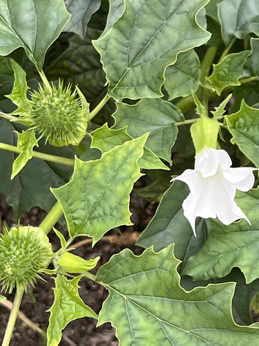
jimsonweed
Datura stramonium
Seen 2026-09-20
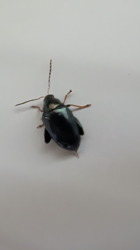
Cabbage-stem flea beetle
Psylliodes chrysocephala
Seen 2026-09-20
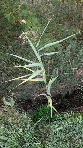
common reed
Phragmites australis
Seen 2026-09-20
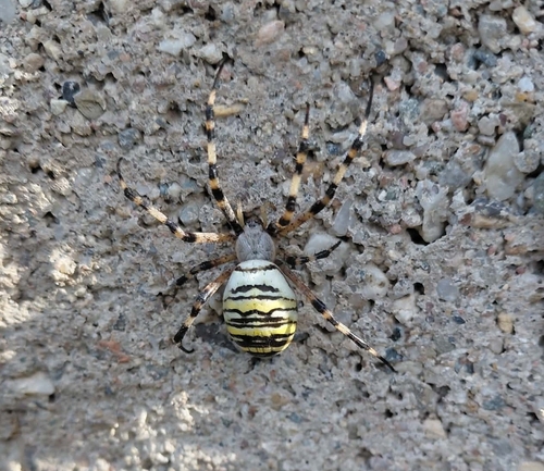
Wasp Spider
Argiope bruennichi
Seen 2026-09-20
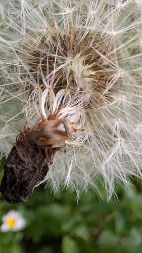
Lygus pratensis
Lygus pratensis
Seen 2026-09-19
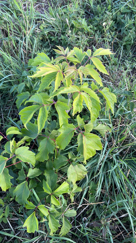
box elder
Acer negundo
Seen 2026-09-19
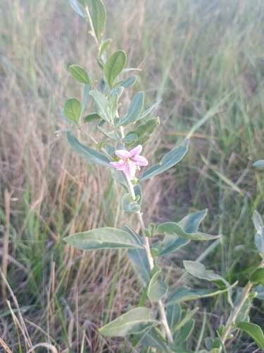
matrimony vine
Lycium barbarum
Seen 2026-09-19
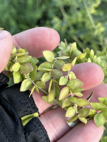
Shining Orache
Atriplex sagittata
Seen 2026-09-19
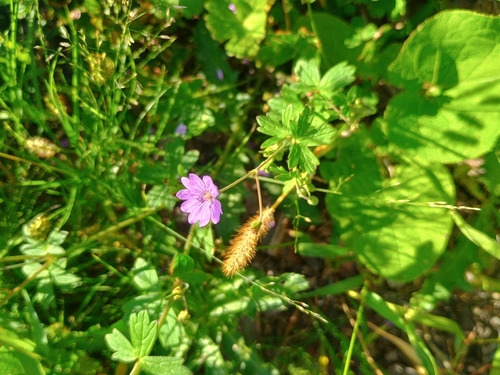
Hedgerow Crane's-bill
Geranium pyrenaicum
Seen 2026-09-19
Research-grade observations from iNaturalist (within ~15 mi).
Events
Gallery
Official Identifiers
ČSÚ — Czech Statistical Office
- RÚIAN code
- CZ589730
- Population (Wikidata)
- 1,646
- Wikidata
- Q2637506
RÚIAN obec ID via Wikidata P782
Sources
- • Wikipedia
- • Wikidata
- • iNaturalist
- • Wikidata SPARQL (CC0) — population, area, elevation, inception, head of government, Commons image
- • ČSÚ — Czech Statistical Office — RÚIAN obec ID via Wikidata P782