Browse / Czechia / Moravian-Silesian / Mosty u Jablunkova
Mosty u Jablunkova
Moravian-Silesianvillage

Mosty u Jablunkova
Total population
3,997
Demographic figures from Czech Statistical Office. Overview below cites Wikipedia and may reference a different year.
City facts
Facts from Wikidata (CC0).
Overview
Mosty u Jablunkova is a municipality and village in Frýdek-Místek District in the Moravian-Silesian Region of the Czech Republic. It has about 3,700 inhabitants. The municipality has a significant Polish minority.
Read more on WikipediaHistory & geography
History
The first written mention of Mosty u Jablunkova is from 1577 as Mosty Jablunkowske. It belonged to the Duchy of Teschen. The village was founded between 1545 and 1577, during the reign of Duke Wenceslaus III Adam. After Revolutions of 1848 in the Austrian Empire a modern municipal division was introduced in the re-established Austrian Silesia. The village as a municipality was subscribed to the political district of Teschen and the legal district of Jablunkau. According to the censuses conducted in 1880–1910 the population of the municipality grew from 1,959 in 1880 to 2,318 in 1910 with a majority being native Polish-speakers (growing from 98% in 1880 to 98.5% in 1910) accompanied by German-speaking (at most 2% in 1880) and Czech-speaking people (at most 0.3% in 1900). In terms of religion in 1910 the majority were Roman Catholics (98.6%), followed by Protestants (1.1%) and Jews (6 people). After World War I, Polish–Czechoslovak War and the division of Cieszyn Silesia in 1920, it became a part of Czechoslovakia. Following the Munich Agreement, in October 1938 together with the Trans-Olza region it was annexed by Poland, administratively adjoined to Cieszyn County of Silesian Voivodeship. The municipality was annexed by Nazi Germany at the beginning of World War II. On 25–26 August 1939, a group of German Abwehr armed agents attacked the rail station in Mosty. The incident became known as Jabłonków incident. After the war, the municipality was restored to Czechoslovakia.
Geography
Mosty u Jablunkova is located about southeast of Frýdek-Místek and southeast of Ostrava. It lies in the historical region of Cieszyn Silesia on the border with Slovakia. The village is located in the Jablunkov Pass. The western half of the municipality lies in the Moravian-Silesian Beskids, the eastern part extends to the Jablunkov Intermontane region, and the northern part extends to the Jablunkov Furrow. The highest point is a contour line below the top of the mountain Severka at above sea level.
Excerpted from the corresponding Wikipedia article (CC BY-SA).
Geography
Coordinates & boundaries from the US Census TIGER/Line shapefiles.
Climate
Air quality
Walkability
Amenities nearby
Wildlife & biodiversity
Earthquake history
Photos
Sights & places nearby
Notable people from here
Nearby places in Moravian-Silesian
- Dolní Lomná2.6 mi away · pop. 876
- Bocanovice3 mi away · pop. 428
- Písek3.1 mi away · pop. 1,783
- Písečná3.6 mi away · pop. 804
- Bukovec3.6 mi away · pop. 1,356
- Milíkov4.3 mi away · pop. 1,300
- Košařiska5.1 mi away · pop. 365
- Horní Lomná5.2 mi away · pop. 394
- Hrádek6.2 mi away · pop. 1,756
- Karpentná7.8 mi away · pop. 712
- Tyra8 mi away · pop. 411
- Oldřichovice9.8 mi away · pop. 3,063
Geography & sun
Elevation, sunrise/sunset and daylight from Open-Meteo. Solar climatology from NASA POWER.
Nearby airports
Public attention
Pageview totals from the Wikimedia Pageviews API.
Books about this place
Recent natural events nearby
Ground air-quality sensors
Recently spotted species
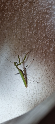
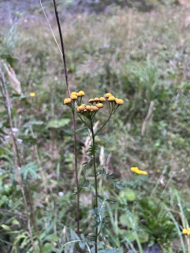
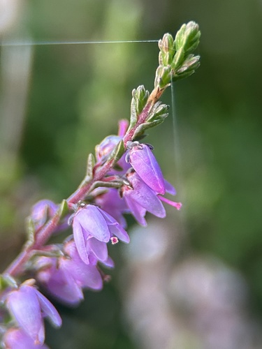
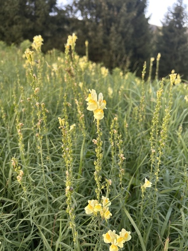
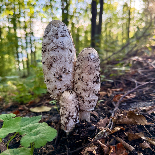
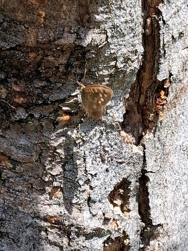
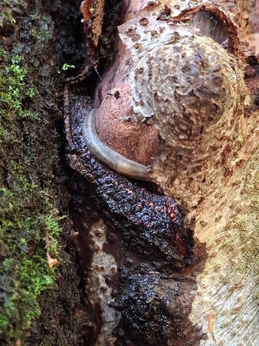
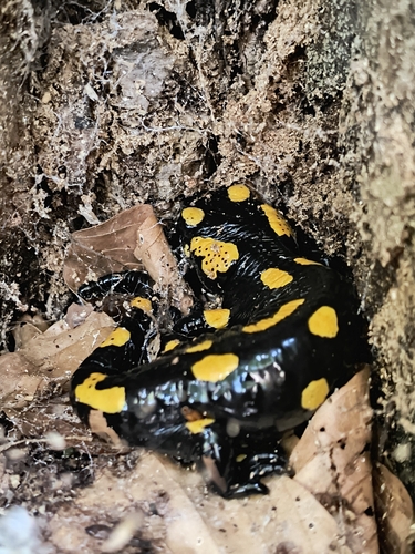
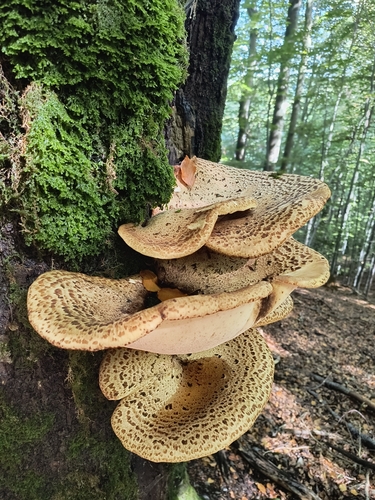
Research-grade observations from iNaturalist (within ~15 mi).
Events
Gallery
Official Identifiers
ČSÚ — Czech Statistical Office
- RÚIAN code
- CZ598453
- Population (Wikidata)
- 3,649
- Wikidata
- Q1949570
RÚIAN obec ID via Wikidata P782
Sources
- • Wikipedia
- • Wikidata
- • iNaturalist
- • Open-Meteo / sunrise-sunset.org
- • Wikipedia Pageviews API
- • Wikidata SPARQL (CC0) — population, area, elevation, inception, head of government, Commons image
- • ČSÚ — Czech Statistical Office — RÚIAN obec ID via Wikidata P782