Browse / Czechia / South Bohemian / Nová Bystřice
Nová Bystřice
South Bohemiantown

Nová Bystřice
Total population
3,309
Demographic figures from Czech Statistical Office. Overview below cites Wikipedia and may reference a different year.
City facts
Facts from Wikidata (CC0).
Overview
Nová Bystřice is a town in Jindřichův Hradec District in the South Bohemian Region of the Czech Republic. It has about 3,200 inhabitants. The town is located in the Javořice Highlands on the border with Austria.
Read more on WikipediaHistory & geography
History
The first written mention of Bystřice is from 1175, when the area was colonised by Knights Hospitaller of the Mailberg commandry, at the behest of the Nuremberg burgrave Conrad II of Raabs. In 1260, the estate was enfeoffed to the Rosenberg family by King Ottokar II. From the 13th to 16th century, Bystřice was a part of the Landštejn estate. The Paulaner Order came to the region in 1493 and founded here a monastery. In 1533, a group of religious reformers killed 40 monks and destroyed the monastery. After the family of Krajíř of Krajek became extinct in 1575, Nová Bystřice was shortly owned by the Lobkowicz and Kinsky families. In 1615, it was bought by Countess Lucie Otýlie of Hradec. During the rule of her son Adam Pavel Slavata, Nová Bystřice experienced the greatest development. He re-established the Paulaner monastery, but it was abolished in 1783. After the last member of the Slavata family died, the owners of the town frequently changed until the establishment of a sovereign municipality in 1850.
Geography
Nová Bystřice is located about southeast of Jindřichův Hradec. It lies on the border with Austria, close to Austria's northernmost point near Haugschlag. Nová Bystřice lies in the Javořice Highlands. Most of the municipal territory lies in the Česká Kanada Nature Park. The highest point is the hill Kunějovský vrch at above sea level. The Dračice River flows through the town. The stream Koštěnický potok flows along the western municipal border. There are several fishponds in the municipal territory, the largest of which is Osika with an area of .
Excerpted from the corresponding Wikipedia article (CC BY-SA).
Geography
Coordinates & boundaries from the US Census TIGER/Line shapefiles.
Climate
Air quality
Walkability
Amenities nearby
Wildlife & biodiversity
Earthquake history
Photos
Sights & places nearby
Notable people from here


People born within ~10 km, from Wikidata (CC0). Click any name for their Wikipedia article.
Nearby places in South Bohemian
- Klášter I2.5 mi away · pop. 49
- Horní Žďár8.2 mi away · pop. 118
- Otín8.3 mi away · pop. 1,191
- Políkno9.1 mi away · pop. 194
- Buk10 mi away · pop. 214
- Markvarec10.9 mi away · pop. 128
- Radouňka11 mi away · pop. 655
- Matná11.2 mi away · pop. 57
- Děbolín11.7 mi away · pop. 210
- Palupín12.4 mi away · pop. 75
- Lipolec12.5 mi away · pop. 203
- Hostkovice13.4 mi away · pop. 73
Geography & sun
Elevation, sunrise/sunset and daylight from Open-Meteo. Solar climatology from NASA POWER.
Nearby airports
Public attention
Pageview totals from the Wikimedia Pageviews API.
Books about this place
Recent natural events nearby
Ground air-quality sensors
Recently spotted species
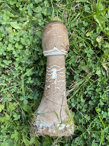
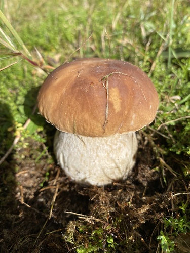
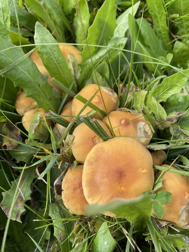
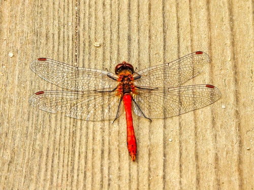
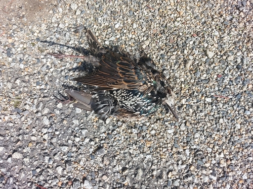
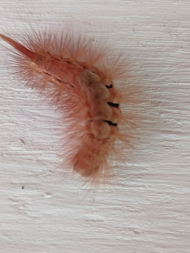
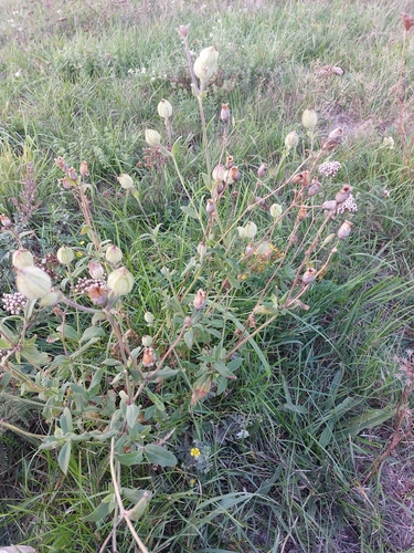
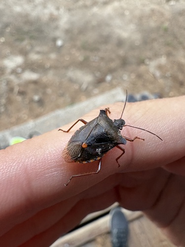
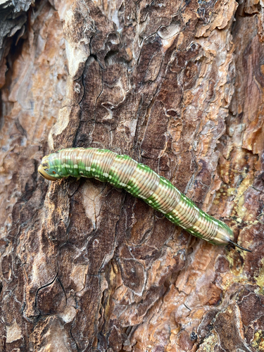
Research-grade observations from iNaturalist (within ~15 mi).
Events
Gallery
Official Identifiers
ČSÚ — Czech Statistical Office
- RÚIAN code
- CZ546798
- Population (Wikidata)
- 3,199
- Wikidata
- Q1935413
RÚIAN obec ID via Wikidata P782
Sources
- • Wikipedia
- • Wikidata
- • iNaturalist
- • Open-Meteo / sunrise-sunset.org
- • Wikipedia Pageviews API
- • Wikidata SPARQL (CC0) — population, area, elevation, inception, head of government, Commons image
- • ČSÚ — Czech Statistical Office — RÚIAN obec ID via Wikidata P782