Browse / Czechia / South Bohemian / Nová Včelnice
Nová Včelnice
South Bohemiantown

Nová Včelnice
Total population
2,272
Demographic figures from Czech Statistical Office. Overview below cites Wikipedia and may reference a different year.
City facts
Facts from Wikidata (CC0).
Overview
Nová Včelnice is a town in Jindřichův Hradec District in the South Bohemian Region of the Czech Republic. It has about 2,200 inhabitants. The town is located on the Kamenice River in the Křemešník Highlands.
Read more on WikipediaHistory & geography
History
The first written mention of Včelnice is from 1360. In 1649, the estate was bought by Spanish nobleman Bartholomew Paradys de la Saga. His wife Hypolity of Ladron had a chapel built nearby with a copy of a statuette of Black Madonna from Altötting. Her son had built 54 houses around the chapel and sold them to craftsmen. Thus, he turned a pilgrimage site into a large craft village named Neuötting/Nový Etynk. In the 18th century, Nový Etynk grew and guilds were founded. In 1786, the chapel was rebuilt into the Church of the Assumption of the Virgin Mary. Nový Etynk-Včelnice was promoted to a market town in 1790 and to a town in 1884. In the 1930s, it lost the town title. In 1950, the market town was renamed to Nová Včelnice. The title of a town was returned to Nová Včelnice in 1998.
Geography
Nová Včelnice is located about northeast of Jindřichův Hradec and northeast of České Budějovice. It lies in the Křemešník Highlands. The highest point is at above sea level. The Kamenice River flows through the town. There are several fishponds in the municipal territory.
Excerpted from the corresponding Wikipedia article (CC BY-SA).
Geography
Coordinates & boundaries from the US Census TIGER/Line shapefiles.
Climate
Air quality
Walkability
Amenities nearby
Wildlife & biodiversity
Earthquake history
Photos
Sights & places nearby
Notable people from here


People born within ~10 km, from Wikidata (CC0). Click any name for their Wikipedia article.
Nearby places in South Bohemian
- Vlčetínec1.9 mi away · pop. 59
- Studnice6 mi away · pop. 139
- Radouňka6.1 mi away · pop. 655
- Otín7.4 mi away · pop. 1,191
- Děbolín7.6 mi away · pop. 210
- Palupín8 mi away · pop. 75
- Pluhův Žďár8.2 mi away · pop. 209
- Klenov8.8 mi away · pop. 124
- Matná8.9 mi away · pop. 57
- Buk8.9 mi away · pop. 214
- Horní Žďár9.4 mi away · pop. 118
- Políkno9.8 mi away · pop. 194
Geography & sun
Elevation, sunrise/sunset and daylight from Open-Meteo. Solar climatology from NASA POWER.
Nearby airports
Public attention
Pageview totals from the Wikimedia Pageviews API.
Books about this place
Recent natural events nearby
Ground air-quality sensors
Recently spotted species
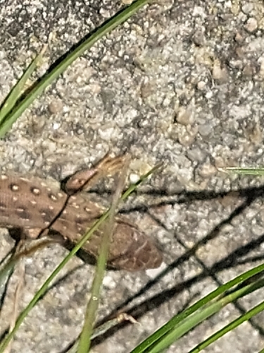
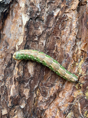
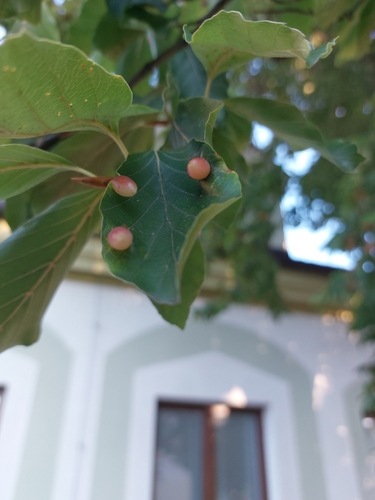
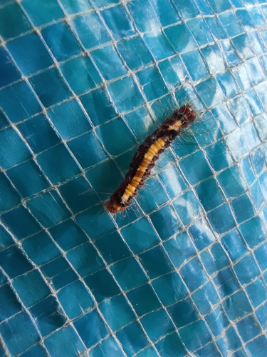
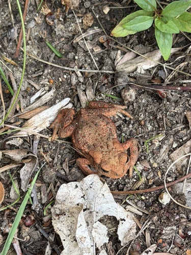
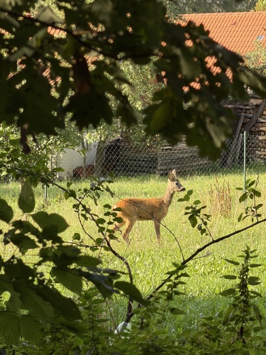
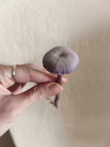
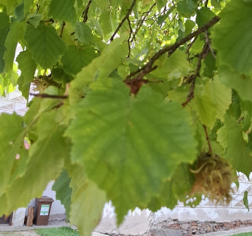
Research-grade observations from iNaturalist (within ~15 mi).
Events
Gallery
Official Identifiers
ČSÚ — Czech Statistical Office
- RÚIAN code
- CZ546801
- Population (Wikidata)
- 2,176
- Wikidata
- Q1861156
RÚIAN obec ID via Wikidata P782
Sources
- • Wikipedia
- • Wikidata
- • iNaturalist
- • Open-Meteo / sunrise-sunset.org
- • Wikipedia Pageviews API
- • Wikidata SPARQL (CC0) — population, area, elevation, inception, head of government, Commons image
- • ČSÚ — Czech Statistical Office — RÚIAN obec ID via Wikidata P782