Browse / Czechia / Plzeň / Nýřany
Nýřany
Plzeňtown

Nýřany
Total population
7,002
Demographic figures from Czech Statistical Office. Overview below cites Wikipedia and may reference a different year.
City facts
Facts from Wikidata (CC0).
Overview
Nýřany is a town in Plzeň-North District in the Plzeň Region of the Czech Republic. It has about 7,000 inhabitants. The town is located on the stream Vejprnický potok in the Plasy Uplands.
Read more on WikipediaHistory & geography
History
The first written mention of Nýřany is from 1272. The village was promoted to a town by Emperor Franz Joseph I on 29 January 1892. The village of Kamenný Újezd was first mentioned in 1215 and Doubrava in 1556. Around 1830, bituminous coal deposits were discovered. The start of mining meant the rapid development of the village, and new people arrived. The peak of mining was in 1880, when 9,300 people was employed in about 40 mines. The mining ended in 1995. Those mines sometimes yielded valuable well-preserved fossils of early amphibians. During World War II, Nýřany was annexed by Nazi Germany and administered as part of the Reichsgau Sudetenland. Near the end of the war one transport of death was surprised by an airstrike and about hundred of prisoners managed to escape. They were chased by SS-Guards and local Germans and either killed on the spot or executed at the place called Humboldtka.
Geography
Nýřany is located about west of Plzeň. It lies in the Plasy Uplands. The highest point is the flat hill Dobrák at above sea level. The stream of Vejprnický potok flows through the town.
Excerpted from the corresponding Wikipedia article (CC BY-SA).
Geography
Coordinates & boundaries from the US Census TIGER/Line shapefiles.
Climate
Air quality
Walkability
Amenities nearby
Wildlife & biodiversity
Earthquake history
Photos
Sights & places nearby
Notable people from here
Nearby places in Plzeň
- Kotovice3.7 mi away · pop. 150
- Příšov8.1 mi away · pop. 231
- Česká Bříza12.7 mi away · pop. 445
- Cebiv13 mi away · pop. 273
- Biřkov13.5 mi away · pop. 124
- Borovy13.7 mi away · pop. 235
- Ejpovice13.9 mi away · pop. 497
- Hlohovčice13.9 mi away · pop. 192
- Křenovy14.6 mi away · pop. 150
- Semněvice14.8 mi away · pop. 109
- Rybnice15.4 mi away · pop. 415
- Zdemyslice15.8 mi away · pop. 497
Geography & sun
Elevation, sunrise/sunset and daylight from Open-Meteo. Solar climatology from NASA POWER.
Nearby airports
Public attention
Pageview totals from the Wikimedia Pageviews API.
Books about this place
Recent natural events nearby
Ground air-quality sensors
Recently spotted species
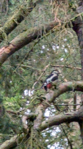
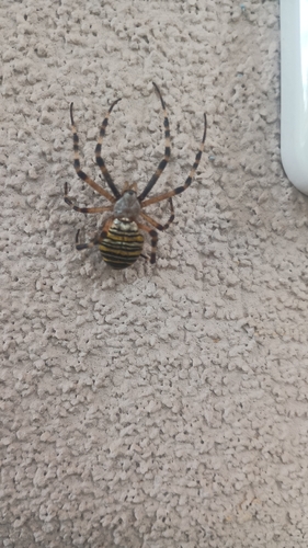
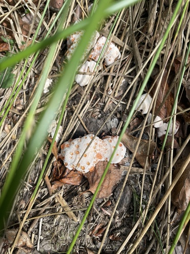
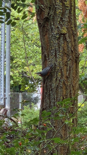
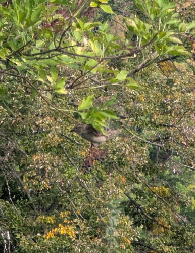
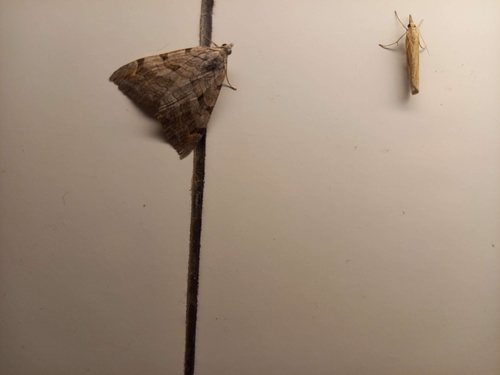
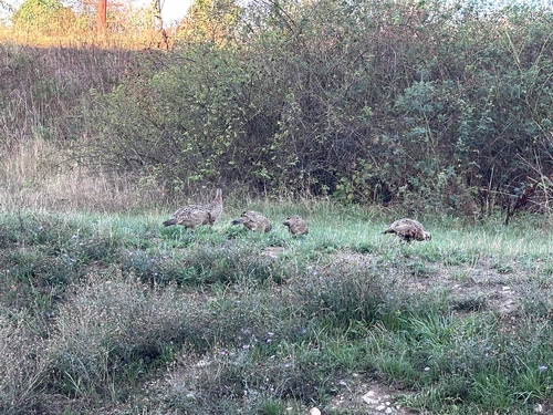
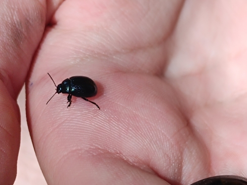
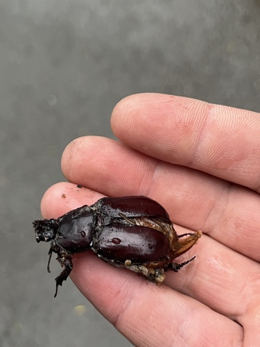
Research-grade observations from iNaturalist (within ~15 mi).
Events
Gallery
Official Identifiers
ČSÚ — Czech Statistical Office
- RÚIAN code
- CZ559300
- Population (Wikidata)
- 6,991
- Wikidata
- Q1017227
RÚIAN obec ID via Wikidata P782
Sources
- • Wikipedia
- • Wikidata
- • iNaturalist
- • Open-Meteo / sunrise-sunset.org
- • Wikipedia Pageviews API
- • Wikidata SPARQL (CC0) — population, area, elevation, inception, head of government, Commons image
- • ČSÚ — Czech Statistical Office — RÚIAN obec ID via Wikidata P782