Browse / Czechia / Ústí nad Labem / Obrnice
Obrnice
Ústí nad Labemvillage

Obrnice
Total population
2,455
Demographic figures from Czech Statistical Office. Overview below cites Wikipedia and may reference a different year.
City facts
Facts from Wikidata (CC0).
Overview
Obrnice is a municipality and village in Most District in the Ústí nad Labem Region of the Czech Republic. It has about 2,000 inhabitants.
Read more on WikipediaHistory & geography
History
The first written mention of Obrnice is from 1282, when the village was donated to the monastery in Osek. Except for the years 1420–1460 and 1620–1629, when it passed into the hands of various nobles, the village was owned by the monastery. In the 19th century, mining of lignite developed in the region, which also meant an influx of residents to Obrnice. Brickworks were established here and more workers were coming here. The railway was built in 1871.
Geography
Obrnice is located about east of Most and southwest of Ústí nad Labem. It lies in the Central Bohemian Uplands. The Bílina River flows through the municipality. The highest point is the hill Zlatník at above sea level. The hill and its surroundings is protected as a national nature reserve.
Excerpted from the corresponding Wikipedia article (CC BY-SA).
Geography
Coordinates & boundaries from the US Census TIGER/Line shapefiles.
Climate
Air quality
Walkability
Amenities nearby
Wildlife & biodiversity
Earthquake history
Photos
Sights & places nearby
Notable people from here


People born within ~10 km, from Wikidata (CC0). Click any name for their Wikipedia article.
Nearby places in Ústí nad Labem
- Mrzlice5.2 mi away · pop. 52
- Bžany9.9 mi away · pop. 167
- Paillote1101.3 mi away
- Haouch Gaby1103.6 mi away
- Douar Nessasseha دوار نساسحة1105.2 mi away
- Haouch Ben Said1105.6 mi away
- Haouch Ain Maiza1109.8 mi away
- Haouch Ben Kouider1110.9 mi away
- Sidi Rached1111.1 mi away · pop. 11,062
- Tipaza1111.3 mi away · pop. 25,225
- Douar Adel masskifa1112.2 mi away
- 5 Martyrs1113.4 mi away
Geography & sun
Nearby airports
Public attention
Books about this place
Recent natural events nearby
Ground air-quality sensors
Recently spotted species
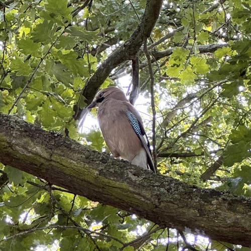
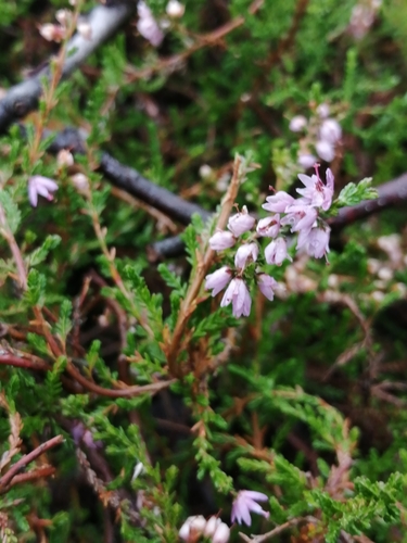
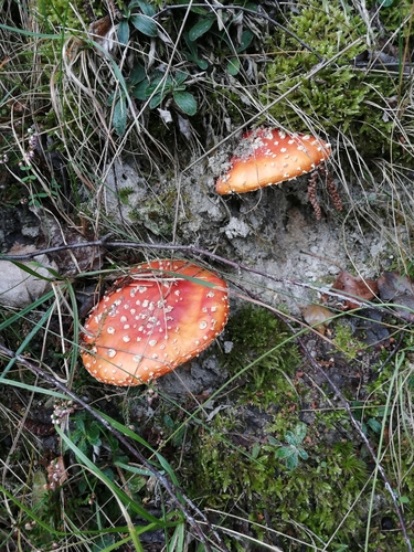
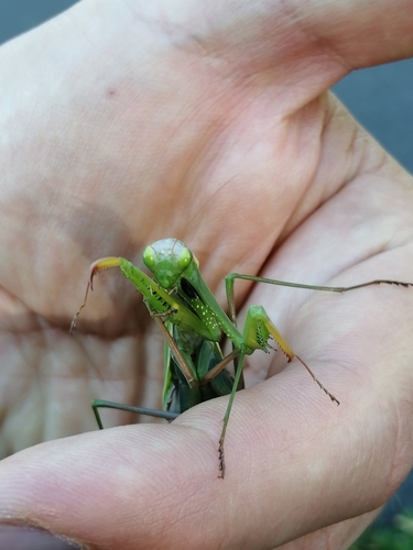
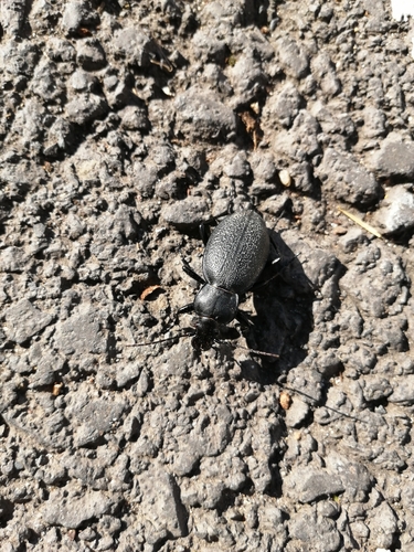
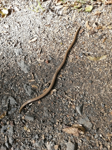
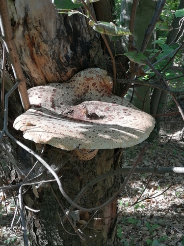
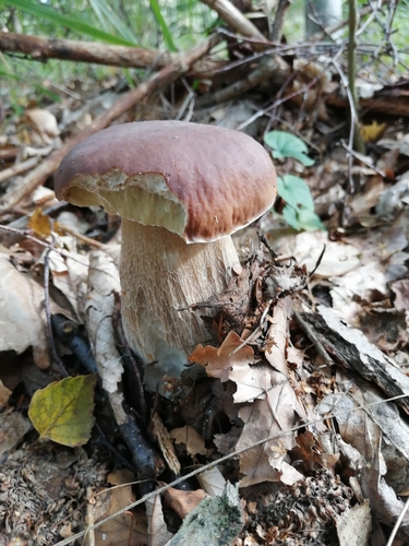
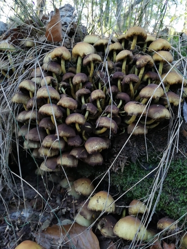
Research-grade observations from iNaturalist (within ~15 mi).
Events
Gallery
Official Identifiers
ČSÚ — Czech Statistical Office
- RÚIAN code
- CZ567337
- Population (Wikidata)
- 2,049
- Wikidata
- Q40602
RÚIAN obec ID via Wikidata P782
Sources
- • Wikipedia
- • Wikidata
- • iNaturalist
- • Wikidata SPARQL (CC0) — population, area, elevation, inception, head of government, Commons image
- • ČSÚ — Czech Statistical Office — RÚIAN obec ID via Wikidata P782