Browse / Czechia / South Moravian / Oslavany
Oslavany
South Moraviantown

Oslavany
Total population
4,701
Demographic figures from Czech Statistical Office. Overview below cites Wikipedia and may reference a different year.
City facts
Facts from Wikidata (CC0).
Overview
Oslavany is a town in Brno-Country District in the South Moravian Region of the Czech Republic. It has about 4,800 inhabitants. The town is located on the Oslava River.
Read more on WikipediaHistory & geography
History
The first written mention of Oslavany is from 1104. It was originally an agricultural and wine-growing village. In the 13th century, copper and other metals were mined in the adjacent hills. In 1225, the first Cistercian convent in Moravia was founded here. The village of Oslavany was owned by the convent until the 16th century. When the convent was dissolved in 1525, Oslavany was acquired by the Althan family and the convent was rebuilt into a Renaissance residence. In 1760, hard coal deposits were found here and soon it was the only place in Moravia where coal was mined. The greatest development of mining occurred in the 19th century and especially after 1913, when a power plant was established here. Coal mining and electricity generation changed the village both economically and environmentally. In the 1960s, the population of Oslavany grew rapidly as housing estates were built for the new employers. Coal mining ceased in 1973 and electricity production in 1993. As a result, the town has lost its industrial character.
Geography
Oslavany is located about southwest of Brno. Most of the territory lies in the Boskovice Furrow, but the western part of the municipal territory extends into the Křižanov Highlands and Jevišovice Uplands. The highest point is at above sea level. The Oslava River flows through the town.
Excerpted from the corresponding Wikipedia article (CC BY-SA).
Geography
Coordinates & boundaries from the US Census TIGER/Line shapefiles.
Climate
Air quality
Walkability
Amenities nearby
Wildlife & biodiversity
Most-observed species
- Great TitParus major Linnaeus, 1758 · Aves5,028
- Eurasian BlackbirdTurdus merula Linnaeus, 1758 · Aves4,676
- Rock PigeonColumba livia J.F.Gmelin, 1789 · Aves3,704
- Eurasian Blue TitCyanistes caeruleus (Linnaeus, 1758) · Aves3,463
- Common Wood-PigeonColumba palumbus Linnaeus, 1758 · Aves3,120
- Common ChaffinchFringilla coelebs Linnaeus, 1758 · Aves3,035
- Hooded CrowCorvus cornix Linnaeus, 1758 · Aves2,979
- European GoldfinchCarduelis carduelis (Linnaeus, 1758) · Aves2,966
Citizen-science & research observations from the Global Biodiversity Information Facility (GBIF).
Earthquake history
Most recent
- M 3 — 2006-03-211 km NNW of Bystré, Czechia
Events from the USGS Earthquake Catalog (global) (FDSN Event Web Service).
Photos
Sights & places nearby
Notable people from here
Nearby places in South Moravian
- Padochov1 mi away · pop. 553
- Nová Ves1.6 mi away · pop. 706
- Alexovice2.4 mi away · pop. 568
- Hrubšice2.6 mi away · pop. 271
- Řeznovice2.8 mi away · pop. 374
- Čučice2.9 mi away · pop. 428
- Zakřany3.3 mi away · pop. 736
- Babice u Rosic3.5 mi away · pop. 523
- Budkovice3.6 mi away · pop. 261
- Rokytná4.1 mi away · pop. 178
- Ketkovice4.1 mi away · pop. 619
- Tetčice4.5 mi away · pop. 946
Geography & sun
Elevation, sunrise/sunset and daylight from Open-Meteo. Solar climatology from NASA POWER.
Nearby airports
Public attention
Pageview totals from the Wikimedia Pageviews API.
Books about this place
Recent natural events nearby
Ground air-quality sensors
Recently spotted species
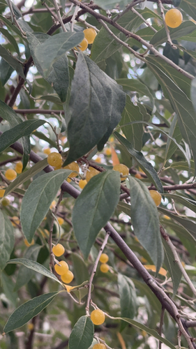
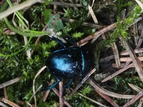
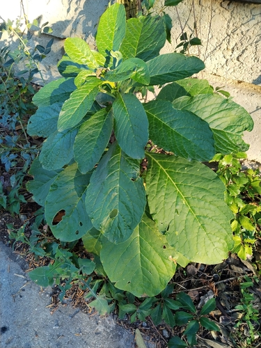
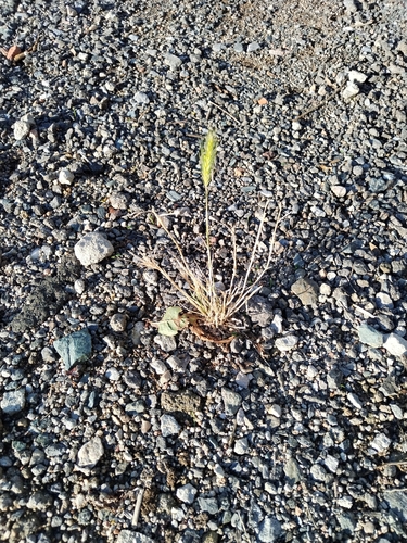
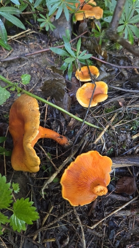
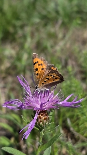
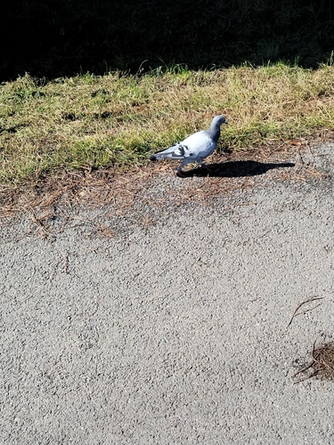
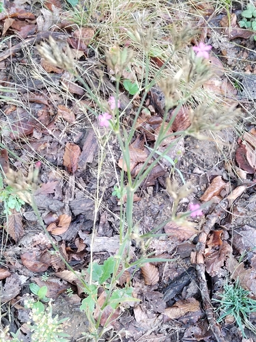
Research-grade observations from iNaturalist (within ~15 mi).
Events
Gallery
Official Identifiers
ČSÚ — Czech Statistical Office
- RÚIAN code
- CZ583588
- Population (Wikidata)
- 4,873
- Wikidata
- Q1756935
RÚIAN obec ID via Wikidata P782
Sources
- • Wikipedia
- • Wikidata
- • USGS Earthquake Catalog (global feed)
- • GBIF (Global Biodiversity Information Facility)
- • iNaturalist
- • Open-Meteo / sunrise-sunset.org
- • Wikipedia Pageviews API
- • Wikidata SPARQL (CC0) — population, area, elevation, inception, head of government, Commons image
- • ČSÚ — Czech Statistical Office — RÚIAN obec ID via Wikidata P782