Browse / Czechia / Pardubice / Ostřetín
Ostřetín
Pardubicevillage

Featured view
Ostřetín
Total population
803
Elevation253 m
Land area18.5 km²
Coordinates50.04°, 16.03°
Demographic figures from Czech Statistical Office. Overview below cites Wikipedia and may reference a different year.
Loading additional data from public sources…0 / 11
CensusWikipediaWeatherPlacesPeopleEnvironmentHealth & SchoolsRelatedGeography & CultureLive MonitoringEvents & Gallery
0% completeCity facts
Facts from Wikidata (CC0).
Overview
Ostřetín is a municipality and village in Pardubice District in the Pardubice Region of the Czech Republic. It has about 900 inhabitants.
Read more on WikipediaHistory & geography
Geography
Latitude
50.0447
Longitude
16.0303
Water area
—
Coordinates & boundaries from the US Census TIGER/Line shapefiles.
Climate
Air quality
Walkability
Amenities nearby
Wildlife & biodiversity
Earthquake history
Photos
Sights & places nearby
Notable people from here

Jiří Paďour
Czech bishop (1943-2015)

František Udržal
Czech member of Czech council and politician (1866–1938)
F
František Pitra
Czechoslovak politician (1932–2018)

Viktor Trkal
Czech physicist and university educator

Alois Mudruňka
Czech graphic, illustrator, painter and university educator (1888-1956)

Čestmír Mudruňka
Czech sculptor

Karel Voženílek
V
Václav Šípek
Czech politician and publicist (1931–2020)
F
František Vogner
Czech composer and choirmaster (1850–1930)
J
Jakub Teplý
Czech sculptor (1729-1802)
J
Jaromír Neumann
Czech art historian (1924–2001)
J
Jaroslav Pýcha
M
Miloš Vacek
Czech conductor, composer, choirmaster and organist (1928–2012)
J
Josef Drlík
Czech Esperantist
A
Antonín Němeček
Czech baker, cook and religious (1915-1942)

Jindřich Paďour
Czech politician
People born within ~10 km, from Wikidata (CC0). Click any name for their Wikipedia article.
Geography & sun
Nearby airports
Public attention
Books about this place
Recent natural events nearby
Ground air-quality sensors
Recently spotted species
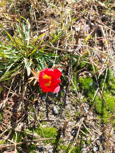
moss rose
Portulaca grandiflora
Seen 2026-09-23
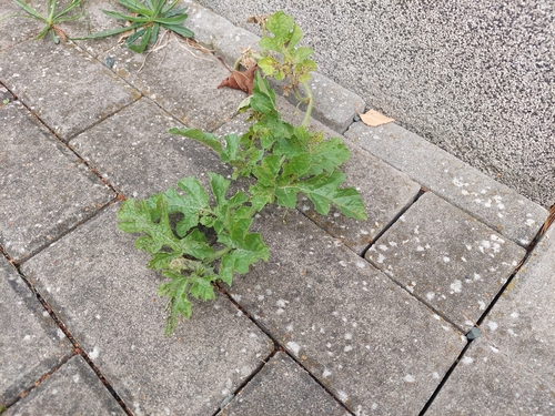
Watermelon
Citrullus lanatus
Seen 2026-09-18
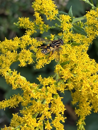
Sun Fly
Helophilus pendulus
Seen 2026-09-17
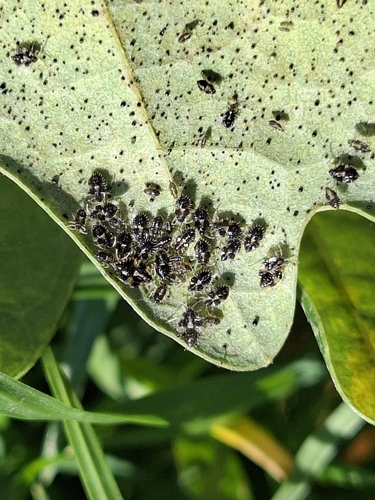
oak lace bug
Corythucha arcuata
Seen 2026-09-17
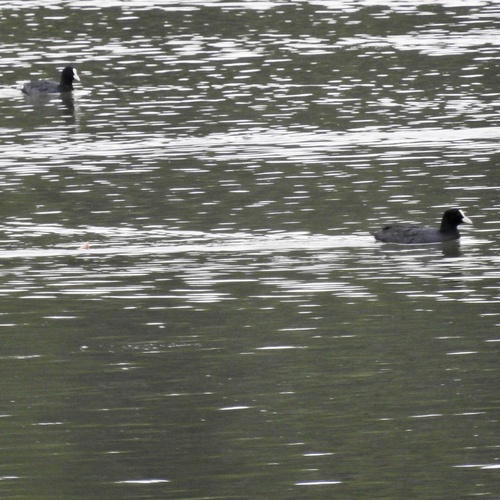
Eurasian Coot
Fulica atra
Seen 2026-09-13
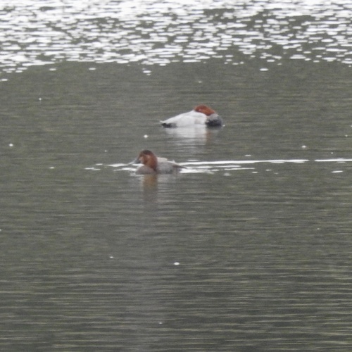
Common Pochard
Aythya ferina
Seen 2026-09-13
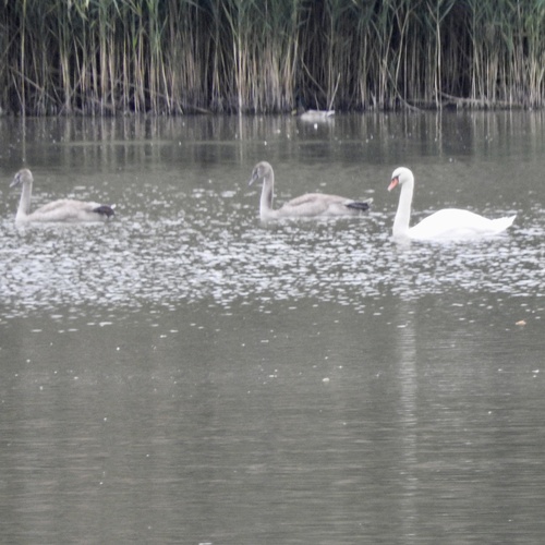
Mute Swan
Cygnus olor
Seen 2026-09-13
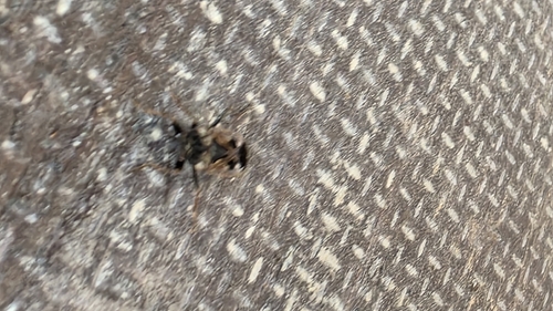
bright-spotted groundbug
Rhyparochromus vulgaris
Seen 2026-09-13
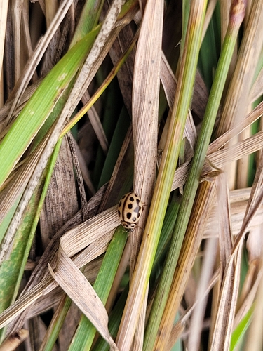
16-spot Ladybird
Tytthaspis sedecimpunctata
Seen 2026-09-13
Research-grade observations from iNaturalist (within ~15 mi).
Events
Gallery
Official Identifiers
ČSÚ — Czech Statistical Office
- RÚIAN code
- CZ575445
- Population (Wikidata)
- 896
- Wikidata
- Q2152623
RÚIAN obec ID via Wikidata P782
Sources
- • Wikipedia
- • Wikidata
- • iNaturalist
- • ČSÚ — Czech Statistical Office — RÚIAN obec ID via Wikidata P782