Browse / Czechia / Hradec Králové / Ostroměř
Ostroměř
Hradec Královévillage

Featured view
Ostroměř
Total population
1,204
Coordinates50.37°, 15.55°
Demographic figures from Czech Statistical Office. Overview below cites Wikipedia and may reference a different year.
Loading additional data from public sources…0 / 11
CensusWikipediaWeatherPlacesPeopleEnvironmentHealth & SchoolsRelatedGeography & CultureLive MonitoringEvents & Gallery
0% completeCity facts
Overview
Ostroměř is a municipality and village in Jičín District in the Hradec Králové Region of the Czech Republic. It has about 1,300 inhabitants.
History & geography
Geography
Latitude
50.3725
Longitude
15.5492
Water area
—
Coordinates & boundaries from the US Census TIGER/Line shapefiles.
Climate
Air quality
Walkability
Amenities nearby
Wildlife & biodiversity
Earthquake history
Photos
Sights & places nearby
Notable people from here

Carl Patsch
Austrian slavist, archaeologist and historian (1865–1945)
M
Miloslav Seeman

Václav Šimerka
Czech mathematician and roman catholic priest (1819-1887)
K
Karel Šlenger
painter (1903-1981)
J
Josef Hiršal
Czech poet and translator (1920–2003)
F
Friedrich Franz
Czech photographer, abbot and educator

Cyril Mach

Vlasta Prachatická
Czech sculptor

František Kyncl
Czech politician, local politician and entrepreneur
František Smetana
Czech music educator and violoncellist (1914–2004)

Josef Ouředník
Czech manager (1901–1944)

Josef Tvrdý
Czech philosopher

Josef Kolář
Czech translator (1830–1910)
J
Johann Buwa

Jan Deyl
Czech philanthropist and oftalmologist
F
Friedrich Dressler
People born within ~10 km, from Wikidata (CC0). Click any name for their Wikipedia article.
Nearby places in Hradec Králové
- Jivany14.7 mi away · pop. 88
- Piancaldoli467 mi away · pop. 143
- Marradi472.5 mi away · pop. 3,617
- Istia-Sigliola-Greta475.3 mi away · pop. 93
- Casanuova476.2 mi away · pop. 43
- Traversa476.5 mi away · pop. 160
- Montepiano480.1 mi away · pop. 599
- Luco Mugello481.3 mi away · pop. 1,114
- Pavana481.5 mi away · pop. 414
- Sasseta482.1 mi away · pop. 275
- Galliano482.3 mi away · pop. 1,122
- Gavigno482.8 mi away · pop. 5
Geography & sun
Avg solar (kWh/m²/day)
2.97
Annual solar (kWh/m²)
1,084
Elevation, sunrise/sunset and daylight from Open-Meteo. Solar climatology from NASA POWER.
Nearby airports
Public attention
Wikipedia views (last 30 days)
31
Avg daily Wikipedia views
1
Attention level
Obscure
Pageview totals from the Wikimedia Pageviews API.
Books about this place
Recent natural events nearby
Ground air-quality sensors
Recently spotted species
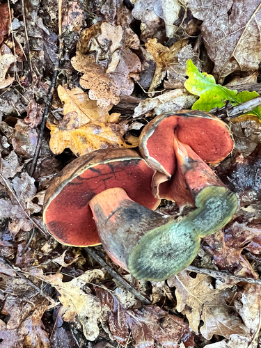
Dotted Stem Bolete
Neoboletus erythropus
Seen 2026-09-24
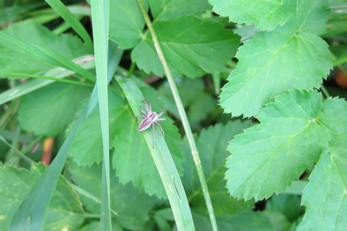
European Nursery Web spider
Pisaura mirabilis
Seen 2026-09-21
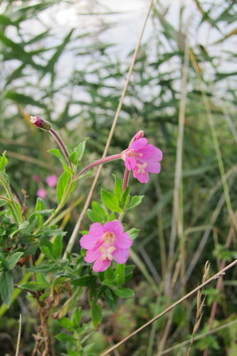
Great Willowherb
Epilobium hirsutum
Seen 2026-09-21
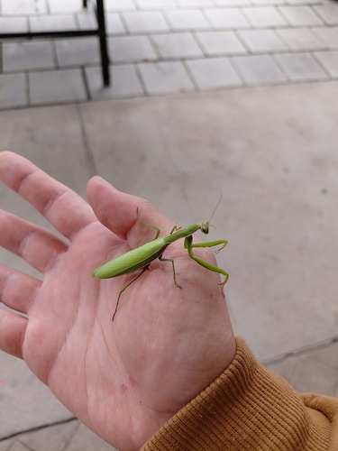
European Mantis
Mantis religiosa
Seen 2026-09-21
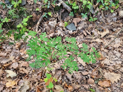
black pea
Lathyrus niger
Seen 2026-09-20
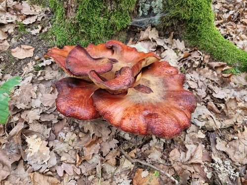
Beefsteak Polypore
Fistulina hepatica
Seen 2026-09-20
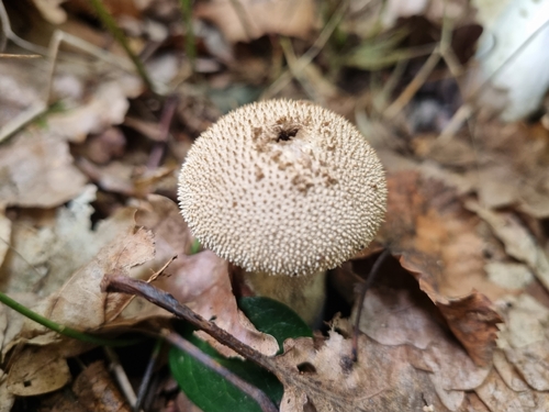
common puffball
Lycoperdon perlatum
Seen 2026-09-20
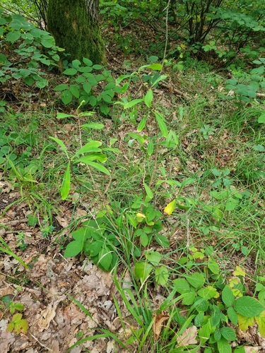
Mezereon
Daphne mezereum
Seen 2026-09-20
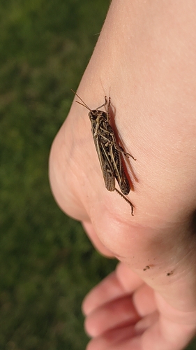
Common Field Grasshopper
Chorthippus brunneus
Seen 2026-09-19
Research-grade observations from iNaturalist (within ~15 mi).
Events
Gallery
Official Identifiers
ČSÚ — Czech Statistical Office
- RÚIAN code
- CZ573272
- Population (Wikidata)
- 1,324
- Wikidata
- Q1762083
RÚIAN obec ID via Wikidata P782
Sources
- • Wikipedia
- • Wikidata
- • iNaturalist
- • Open-Meteo / sunrise-sunset.org
- • Wikipedia Pageviews API
- • Wikidata SPARQL (CC0) — population, area, elevation, inception, head of government, Commons image
- • ČSÚ — Czech Statistical Office — RÚIAN obec ID via Wikidata P782