Browse / Czechia / Moravian-Silesian / Paskov
Paskov
Moravian-Silesiantown

Paskov
Total population
3,506
Demographic figures from Czech Statistical Office. Overview below cites Wikipedia and may reference a different year.
City facts
Facts from Wikidata (CC0).
Overview
Paskov is a town in Frýdek-Místek District in the Moravian-Silesian Region of the Czech Republic. It has about 3,900 inhabitants. Paskov is located at the confluence of the Ostravice River and the Olešná Stream, in the Ostrava Basin. It is an industrial town.
Read more on WikipediaHistory & geography
History
The first written mention of Paskov is in a deed of bishop Bruno von Schauenburg from 1267. At the end of the 13th century, a fortress was built here. Until 1538, the village was a fief of the Olomouc bishophric. In 1538, Paskov was acquired by Jan IV of Pernštejn. In the following decades, it often changed hands. The municipality was promoted to a town in 2011.
Geography
Paskov is located between Ostrava and Frýdek-Místek, in close proximity to both cities. It lies in a flat landscape in the Ostrava Basin. The town is situated at the confluence of the Ostravice River and the Olešná Stream.
Excerpted from the corresponding Wikipedia article (CC BY-SA).
Geography
Coordinates & boundaries from the US Census TIGER/Line shapefiles.
Climate
10-year averages from ERA5 reanalysis (Open-Meteo).
Air quality
Walkability
Amenities nearby
Wildlife & biodiversity
Earthquake history
Photos
Sights & places nearby
Notable people from here
Nearby places in Moravian-Silesian
- Oprechtice1.2 mi away · pop. 212
- Řepiště1.2 mi away · pop. 1,502
- Lískovec2.4 mi away · pop. 1,291
- Krmelín2.5 mi away · pop. 1,818
- Staříč3.3 mi away · pop. 1,889
- Sviadnov3.4 mi away · pop. 1,279
- Sedliště3.6 mi away · pop. 1,190
- Horní Datyně3.8 mi away · pop. 1,049
- Proskovice4.3 mi away · pop. 1,125
- Stará Ves nad Ondřejnicí4.6 mi away · pop. 2,110
- Zelinkovice4.7 mi away · pop. 292
- Kaňovice4.8 mi away · pop. 192
Geography & sun
Elevation, sunrise/sunset and daylight from Open-Meteo. Solar climatology from NASA POWER.
Nearby airports
Public attention
Pageview totals from the Wikimedia Pageviews API.
Books about this place
Recent natural events nearby
Ground air-quality sensors
Recently spotted species
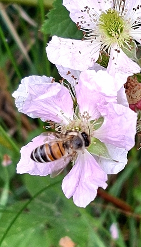
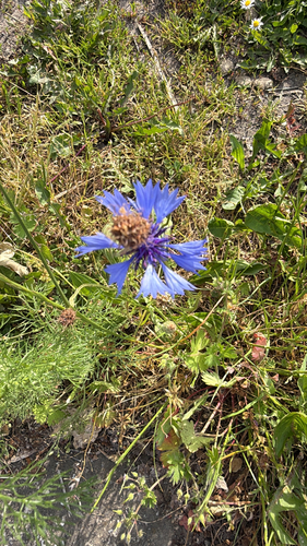
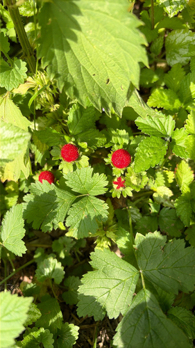
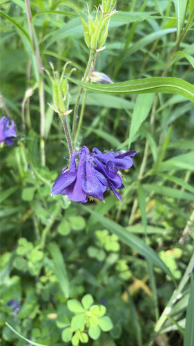
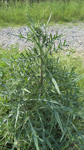
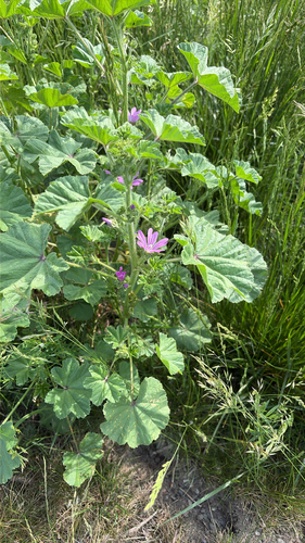
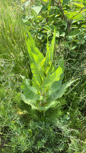
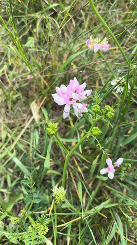
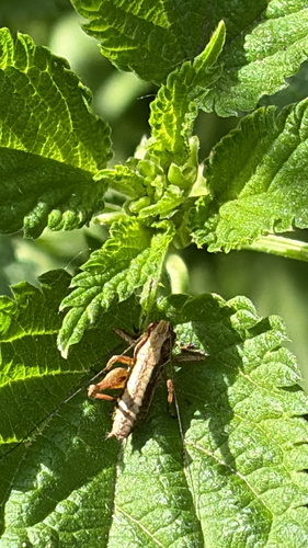
Research-grade observations from iNaturalist (within ~15 mi).
Events
Gallery
Geotagged photos within ~6 miles of Paskov, from Wikimedia Commons contributors.
 0 mi
0 mi 0 mi
0 mi.jpg) 0 mi
0 mi 0 mi
0 mi.jpg) 0 mi
0 mi 0 mi
0 mi 0 mi
0 mi 0 mi
0 mi 0.1 mi
.jpg) 0.1 mi
0.1 mi 0.1 mi
 0.1 mi
.jpg) 0.1 mi
0.1 mi 0.1 mi
 0.1 mi
 0.1 mi
 0.1 mi
 0.1 mi
 0.1 mi
 0.1 mi
_(1).jpg) 0.1 mi
0.1 mi_(2).jpg) 0.1 mi
0.1 mi_(3).jpg) 0.1 mi
0.1 mi_(6).jpg) 0.1 mi
0.1 miPhotos via Wikimedia Commons — see each image page for license & attribution.
Official Identifiers
ČSÚ — Czech Statistical Office
- RÚIAN code
- CZ598569
- Population (Wikidata)
- 3,883
- Wikidata
- Q2010709
RÚIAN obec ID via Wikidata P782
Sources
- • Wikipedia
- • Open-Meteo (ERA5 reanalysis)
- • Wikimedia Commons
- • Wikidata
- • iNaturalist
- • Open-Meteo / sunrise-sunset.org
- • Wikipedia Pageviews API
- • Wikidata SPARQL (CC0) — population, area, elevation, inception, head of government, Commons image
- • ČSÚ — Czech Statistical Office — RÚIAN obec ID via Wikidata P782