Browse / Czechia / Hradec Králové / Pavlišov
Pavlišov
Hradec Královévillage

Featured view
Pavlišov
Total population
187
Elevation490 m
Land area2.89 km²
Coordinates50.45°, 16.17°
Demographic figures from Czech Statistical Office. Overview below cites Wikipedia and may reference a different year.
Loading additional data from public sources…0 / 11
CensusWikipediaWeatherPlacesPeopleEnvironmentHealth & SchoolsRelatedGeography & CultureLive MonitoringEvents & Gallery
0% completeCity facts
Elevation
490 m
Area
2.89 km²
Facts from Wikidata (CC0).
Overview
Pavlišov is a village and administrative part of Náchod in Náchod District in the Hradec Králové Region of the Czech Republic. It has about 200 inhabitants.
Read more on WikipediaHistory & geography
Geography
Latitude
50.4489
Longitude
16.1688
Water area
—
Coordinates & boundaries from the US Census TIGER/Line shapefiles.
Climate
Air quality
Walkability
Amenities nearby
Wildlife & biodiversity
Earthquake history
Photos
Sights & places nearby
Notable people from here

Prince Frederick of Schaumburg-Lippe
German prince (1868-1945)

Queen Charlotte of Württemberg
Queen Consort of Württemberg

Václav Černý
Czech essayist, philosopher, literature historian, literary critic, professor and translator (1905 – 1987)

Prince Albert of Schaumburg-Lippe
(1869-1942)

Princess Adelaide of Schaumburg-Lippe
was daughter of Prince William of Schaumburg-Lippe and consort of the last reigning Duke of Saxe-Altenburg Ernst II

Princess Bathildis of Schaumburg-Lippe
German princess (1873-1962)

Prince Maximilian of Schaumburg-Lippe
(1871-1904)

Otto Berger
Czech cellist (1873–1897)

Antonín Čapek
Czech doctor
J
Jan Berger
J
Jiří Matys
Czech composer and educator (1927-2016)
J
Julie Šupichová
Czech Esperantist and science writer (1884–1970)
P
Petr Vlček
Czech painter, artist and graphic designer (born 1975)
V
Václav Matoulek
J
Jaroslav Sochor
J
Josef Staněk
People born within ~10 km, from Wikidata (CC0). Click any name for their Wikipedia article.
Nearby places in Hradec Králové
- Královec17.9 mi away · pop. 176
- Boharyně29.2 mi away · pop. 186
- Králíky30.8 mi away · pop. 227
- Jivany38.5 mi away · pop. 88
- Piancaldoli484.3 mi away · pop. 143
- Istia-Sigliola-Greta492.6 mi away · pop. 93
- Traversa494 mi away · pop. 160
- Luco Mugello498.4 mi away · pop. 1,114
- Pavana499.5 mi away · pop. 414
- Sasseta499.7 mi away · pop. 275
- Galliano499.7 mi away · pop. 1,122
- Cavarzano500.7 mi away · pop. 226
Geography & sun
Avg solar (kWh/m²/day)
3
Annual solar (kWh/m²)
1,096
Elevation, sunrise/sunset and daylight from Open-Meteo. Solar climatology from NASA POWER.
Nearby airports
Public attention
Wikipedia views (last 30 days)
10
Avg daily Wikipedia views
1
Attention level
Obscure
Pageview totals from the Wikimedia Pageviews API.
Books about this place
Recent natural events nearby
Ground air-quality sensors
Recently spotted species
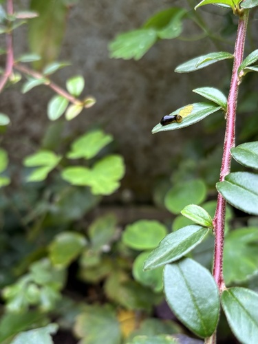
Cherry Slug Sawfly
Caliroa cerasi
Seen 2026-09-25
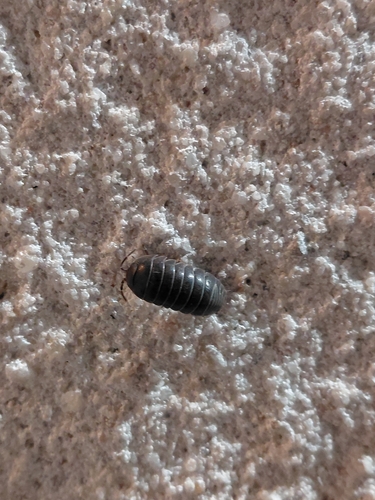
Common Pill Woodlouse
Armadillidium vulgare
Seen 2026-09-23
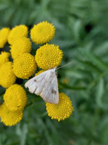
Straw Dot
Rivula sericealis
Seen 2026-09-22
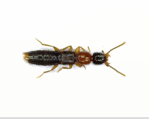
Sunius melanocephalus
Sunius melanocephalus
Seen 2026-09-22
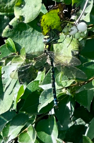
Southern Hawker
Aeshna cyanea
Seen 2026-09-19
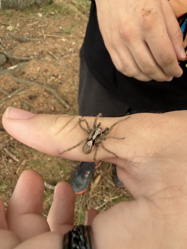
Alopecosa inquilina
Alopecosa inquilina
Seen 2026-09-18
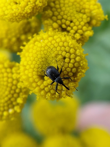
Strawberry blossom weevil
Anthonomus rubi
Seen 2026-09-18
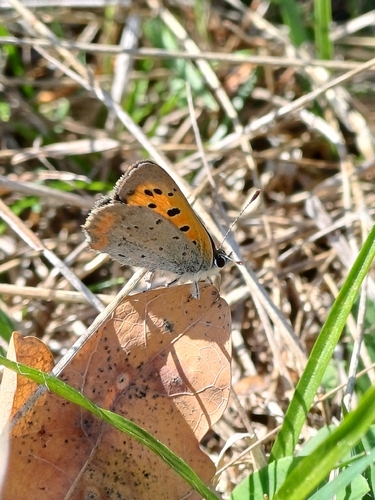
Small Copper
Lycaena phlaeas
Seen 2026-09-18
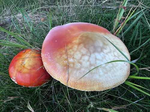
Fly Agaric
Amanita muscaria
Seen 2026-09-18
Research-grade observations from iNaturalist (within ~15 mi).
Events
Gallery
Sources
- • Wikipedia
- • Wikidata
- • iNaturalist
- • Open-Meteo / sunrise-sunset.org
- • Wikipedia Pageviews API