Browse / Czechia / Central Bohemian / Pečky
Pečky
Central Bohemiantown

Pečky
Total population
4,751
Demographic figures from Czech Statistical Office. Overview below cites Wikipedia and may reference a different year.
City facts
Facts from Wikidata (CC0).
Overview
Pečky is a town in Kolín District in the Central Bohemian Region of the Czech Republic. It has about 5,000 inhabitants. The town is located on the Výrovka River in the Central Elbe Table.
Read more on WikipediaHistory & geography
History
The first written mention of Pečky is in a donation deed of King Ottokar I from 1225. For centuries, it was a small agricultural community, often changing their owners and often divided between several estates. After 1869, the railway was built and several larger companies were established, focused on the production of agricultural needs and processing of sugar beet. In 1879, Pečky became a market town, and in 1925, it became a town.
Geography
Pečky is located about northwest of Kolín and east of Prague. It lies in a flat agricultural landscape in the Central Elbe Table. The town is situated on the left bank of the Výrovka River.
Excerpted from the corresponding Wikipedia article (CC BY-SA).
Geography
Coordinates & boundaries from the US Census TIGER/Line shapefiles.
Climate
Air quality
Walkability
Amenities nearby
Wildlife & biodiversity
Earthquake history
Photos
Sights & places nearby
Notable people from here
Nearby places in Central Bohemian
- Cerhýnky2 mi away · pop. 195
- Chotouň3.6 mi away · pop. 111
- Přední Lhota4.2 mi away · pop. 324
- Vítězov5 mi away · pop. 175
- Lstiboř5.4 mi away · pop. 156
- Ohrada6.4 mi away · pop. 321
- Hradišťko I7.4 mi away · pop. 325
- Radovesnice Ⅰ7.7 mi away · pop. 332
- Kanín8 mi away · pop. 200
- Kovansko8.2 mi away · pop. 207
- Rašovice9 mi away · pop. 166
- Oškobrh10.1 mi away · pop. 57
Geography & sun
Elevation, sunrise/sunset and daylight from Open-Meteo. Solar climatology from NASA POWER.
Nearby airports
Public attention
Pageview totals from the Wikimedia Pageviews API.
Books about this place
Recent natural events nearby
Ground air-quality sensors
Recently spotted species
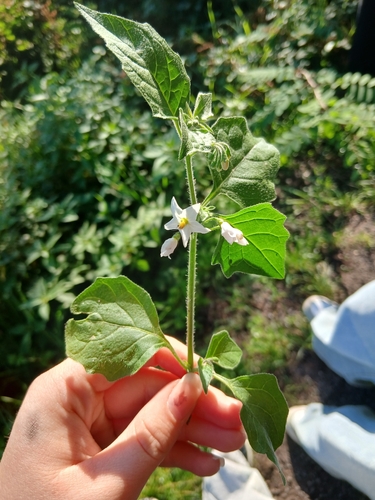
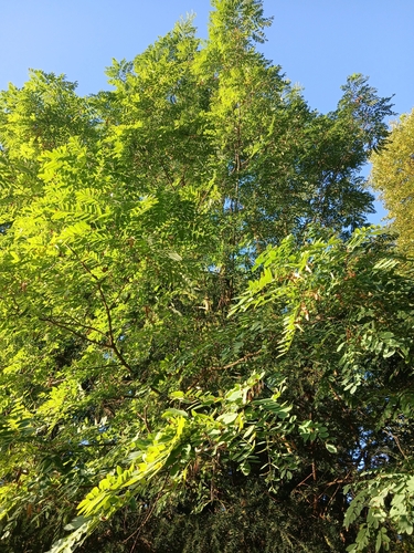
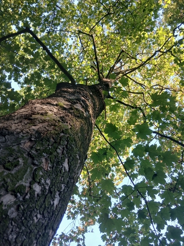
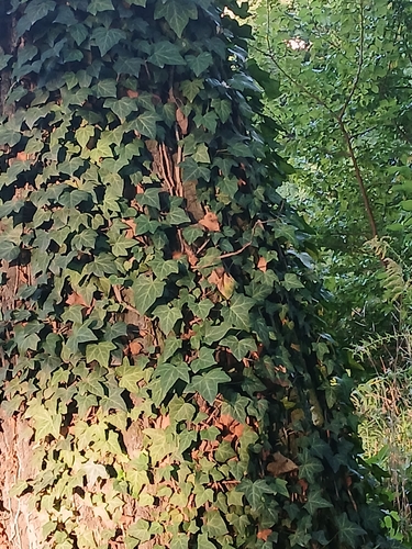
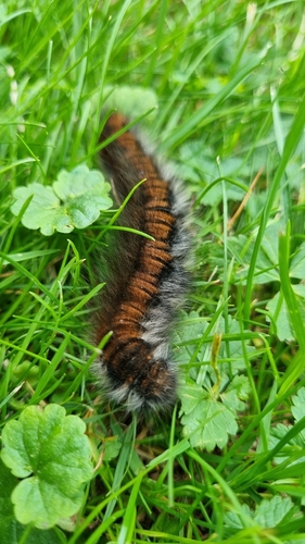
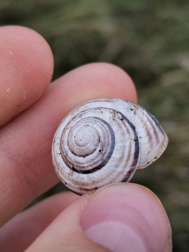
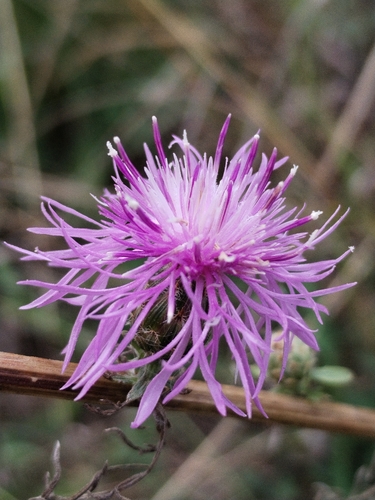
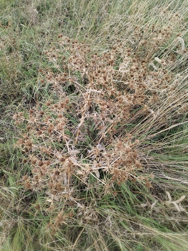
Research-grade observations from iNaturalist (within ~15 mi).
Events
Gallery
Official Identifiers
ČSÚ — Czech Statistical Office
- RÚIAN code
- CZ537641
- Population (Wikidata)
- 4,874
- Wikidata
- Q1813776
RÚIAN obec ID via Wikidata P782
Sources
- • Wikipedia
- • Wikidata
- • iNaturalist
- • Open-Meteo / sunrise-sunset.org
- • Wikipedia Pageviews API
- • Wikidata SPARQL (CC0) — population, area, elevation, inception, head of government, Commons image
- • ČSÚ — Czech Statistical Office — RÚIAN obec ID via Wikidata P782