Browse / Czechia / Ústí nad Labem / Pnětluky
Pnětluky
Ústí nad Labemvillage

Pnětluky
Total population
212
Demographic figures from Czech Statistical Office. Overview below cites Wikipedia and may reference a different year.
City facts
Facts from Wikidata (CC0).
Overview
Pnětluky is a municipality and village in Louny District in the Ústí nad Labem Region of the Czech Republic. It has about 400 inhabitants.
Read more on WikipediaHistory & geography
History
The first written mention of Pnětluky is from 1250; Konětopy was first mentioned in 1357. The first fortress was established here in the 14th century, but in 1466, it was already abandoned. In the 15th century, Pnětluky was owned by members of the Kolowrat family. They had built the Pravda Castle and established the Pravda estate, which included Pnětluky and Konětopy. In 1523, the estate was bought by the Lobkowicz family. They had a new fort built in Pnětluky, which has been preserved to this day. During the Thirty Years' War, the village was devastated, including a church from the mid-14th century. The Pravda estate was then merged with Divec and later with Cítoliby. From 1802 to the 20th century, the Cítoliby estate was property of the Schwarzenberg family. Since the first half of the 19th century, Konětopy has been known for growing hops.
Geography
Pnětluky is located about southwest of Louny and northwest of Prague. It lies in the Džbán range. The highest point is the hill Pravda at above sea level. The stream Pnětlucký potok flows through the municipality.
Excerpted from the corresponding Wikipedia article (CC BY-SA).
Geography
Coordinates & boundaries from the US Census TIGER/Line shapefiles.
Climate
Air quality
Walkability
Amenities nearby
Wildlife & biodiversity
Earthquake history
Photos
Sights & places nearby
Notable people from here
Nearby places in Ústí nad Labem
- Mrzlice18.7 mi away · pop. 52
- Bžany24.7 mi away · pop. 167
- Paillote1087 mi away
- Haouch Gaby1089.2 mi away
- Douar Nessasseha دوار نساسحة1090.8 mi away
- Haouch Ben Said1091.3 mi away
- Haouch Ben Kouider1096.5 mi away
- Sidi Rached1096.8 mi away · pop. 11,062
- Tipaza1097.1 mi away · pop. 25,225
- Douar Adel masskifa1097.9 mi away
- 5 Martyrs1099 mi away
- Brahim Ben Omar إبراهيم بن عمر1099.5 mi away
Geography & sun
Elevation, sunrise/sunset and daylight from Open-Meteo. Solar climatology from NASA POWER.
Nearby airports
Public attention
Pageview totals from the Wikimedia Pageviews API.
Books about this place
Recent natural events nearby
Ground air-quality sensors
Recently spotted species
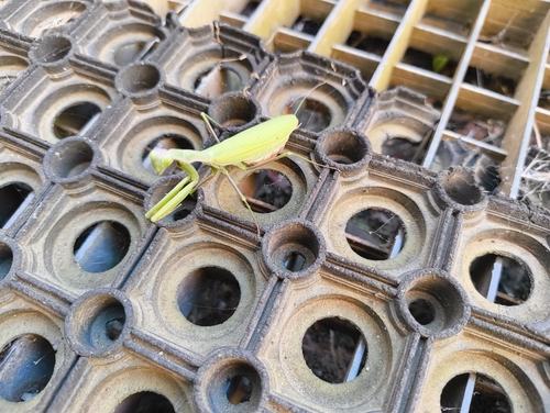
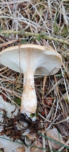
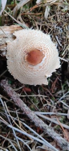
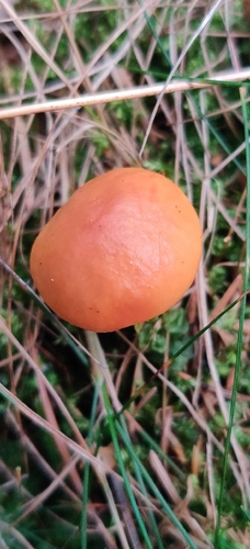
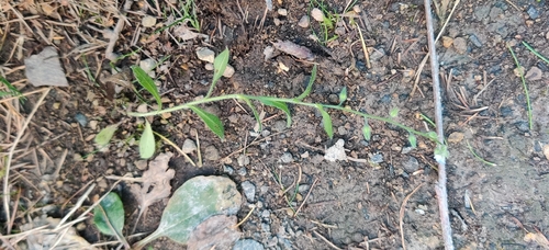
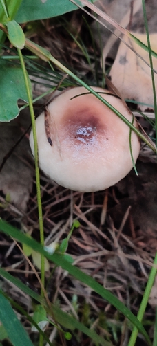
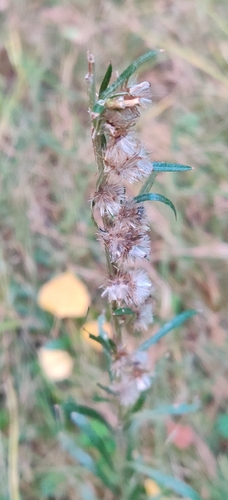
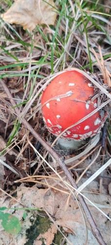
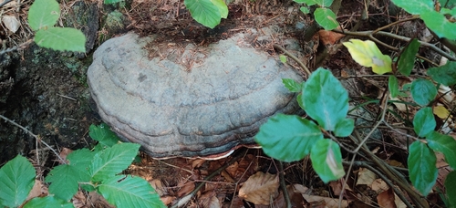
Research-grade observations from iNaturalist (within ~15 mi).
Events
Gallery
Official Identifiers
ČSÚ — Czech Statistical Office
- RÚIAN code
- CZ566578
- Population (Wikidata)
- 370
- Wikidata
- Q2150270
RÚIAN obec ID via Wikidata P782
Sources
- • Wikipedia
- • Wikidata
- • iNaturalist
- • Open-Meteo / sunrise-sunset.org
- • Wikipedia Pageviews API
- • ČSÚ — Czech Statistical Office — RÚIAN obec ID via Wikidata P782