Browse / Czechia / Plzeň / Poběžovice
Poběžovice
Plzeňtown

Poběžovice
Total population
1,562
Demographic figures from Czech Statistical Office. Overview below cites Wikipedia and may reference a different year.
City facts
Sister cities
Facts from Wikidata (CC0).
Overview
Poběžovice is a town in Domažlice District in the Plzeň Region of the Czech Republic. It has about 1,500 inhabitants. The town proper is located on the Pivoňka Stream in the Podčeskoleská Hills.
Read more on WikipediaHistory & geography
History
The continuous settlement of the area is documented by archaeological finds from the 11th century. The village of Poběžovice was probably founded at the beginning of the 14th century. The first written mention of Poběžovice is from 1359, when a small fortress was built. In 1424, it became a market town. In 1459, the market town was bought by the lesser nobleman Dobrohost of Drštka by Skořice. At the latest in 1470, he left the fortress and had built a late Gothic solid water castle called Nový Ronšperk ('new Ronšperk'). Since then he was known as Dobrohost of Ronšperk, and Poběžovice was renamed Ronšperk. In 1490–1501, he also had built a new large church, the Church of the Assumption of the Virgin Mary, where he was later buried. In 1506, Ronšperk became a town. In 1864, the castle and the estate were bought by the Coudenhove noble family, later known as Coudenhove-Kalergi family.
Excerpted from the corresponding Wikipedia article (CC BY-SA).
Geography
Coordinates & boundaries from the US Census TIGER/Line shapefiles.
Climate
Air quality
Walkability
Amenities nearby
Wildlife & biodiversity
Earthquake history
Photos
Sights & places nearby
Notable people from here


People born within ~10 km, from Wikidata (CC0). Click any name for their Wikipedia article.
Nearby places in Plzeň
- Semněvice8.3 mi away · pop. 109
- Křenovy10 mi away · pop. 150
- Čečkovice15.3 mi away · pop. 77
- Kotovice19.3 mi away · pop. 150
- Dlouhý Újezd19.4 mi away · pop. 279
- Studánka20.7 mi away · pop. 387
- Lestkov25.9 mi away · pop. 260
- Myslovice27.2 mi away · pop. 107
- Mešno38 mi away · pop. 87
- Chmelná39 mi away · pop. 189
- Mladotice41.3 mi away · pop. 443
- Dolní Hradiště41.6 mi away · pop. 42
Geography & sun
Elevation, sunrise/sunset and daylight from Open-Meteo. Solar climatology from NASA POWER.
Nearby airports
Public attention
Pageview totals from the Wikimedia Pageviews API.
Books about this place
Recent natural events nearby
Ground air-quality sensors
Recently spotted species
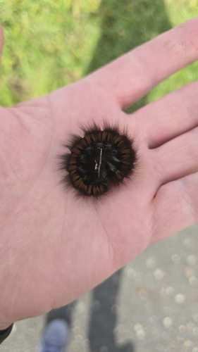
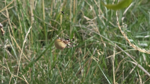
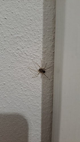
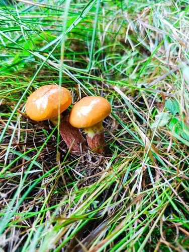
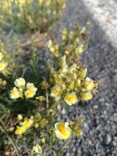
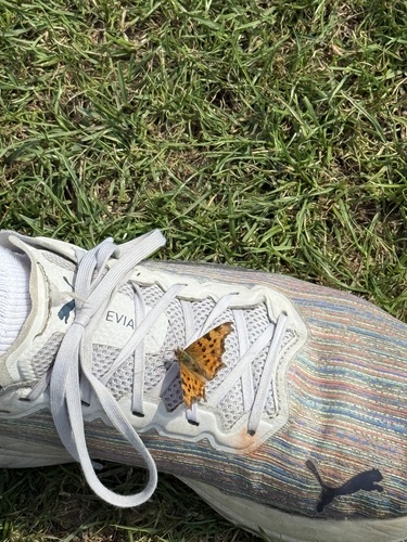
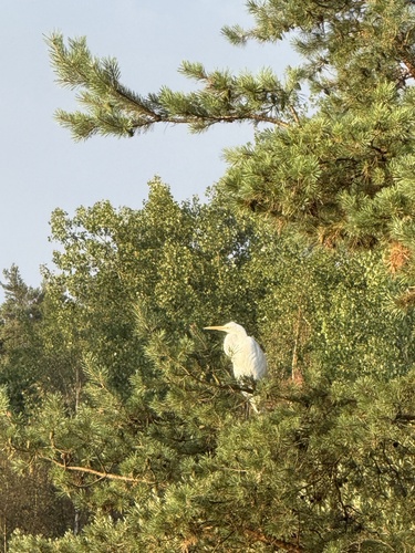
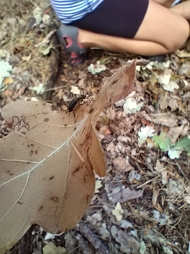
Research-grade observations from iNaturalist (within ~15 mi).
Events
Gallery
Official Identifiers
ČSÚ — Czech Statistical Office
- RÚIAN code
- CZ554111
- Population (Wikidata)
- 1,551
- Wikidata
- Q1756960
RÚIAN obec ID via Wikidata P782
Sources
- • Wikipedia
- • Wikidata
- • iNaturalist
- • Open-Meteo / sunrise-sunset.org
- • Wikipedia Pageviews API
- • Wikidata SPARQL (CC0) — population, area, elevation, inception, head of government, Commons image
- • ČSÚ — Czech Statistical Office — RÚIAN obec ID via Wikidata P782