Browse / Czechia / Hradec Králové / Police nad Metují
Police nad Metují
Hradec Královétown

Police nad Metují
Total population
3,875
Demographic figures from Czech Statistical Office. Overview below cites Wikipedia and may reference a different year.
City facts
Facts from Wikidata (CC0).
Overview
Police nad Metují is a town in Náchod District in the Hradec Králové Region of the Czech Republic. It has about 4,200 inhabitants. The town is located in the Broumov Highlands.
Read more on WikipediaHistory & geography
History
Several hermits settled in the local forest at the beginning of the 13th century. The first written mentions of Police are in a charter dated 1213, by which King Ottokar I donated the area to the Břevnov Monastery in Prague, and in a document dated 1229, by which King Wenceslaus I confirmed the donation. Although these two documents are forgeries, they are not much newer than the data mentioned in them. The first trustworthy written mention of Police is from 6 September 1253, when King Ottokar II endowed it with the right to hold markets. In 1254–1294, the Church of the Assumption of the Virgin Mary was built. The construction of the monastery began immediately afterwards and was finished in 1306. In 1395, Police was first referred to as a market town. At the onset of the Hussite Wars, Police was sacked and burnt by the Catholic Silesians on 27 May 1421. In 1469, the army under command of Matthias Corvinus looted the market town and burned it down, including the monastery. During the early 16th century, Police recovered and prospered. However, the market town was almost completely destroyed by the great fire of 1535. It recovered again and in 1601, it was first referred to as a town. During the Thirty Years' War, the town suffered and after the war significantly depopulated. It was also severely damages by fires in 1673 and 1700. During the first half of the 18th century, it recovered and new buildings were built. The monastery and the church were renovated in the Baroque style. The monastery was abolished by edict of Emperor Joseph II in 1786. Police was growing in importance as a hub of business and culture in the first half of the 19th century. The promising development was slowed after the opening of the railway from Choceň to Meziměstí, which bypassed the town.
Geography
Police nad Metují is located about northeast of Náchod and south of the Polish city of Wałbrzych. It lies in the Broumov Highlands, in the Broumovsko Protected Landscape Area. The highest point is the Na Kostele hill at above sea level. Despite the town's name, the nearby Metuje River flows outside the municipal territory.
Excerpted from the corresponding Wikipedia article (CC BY-SA).
Geography
Coordinates & boundaries from the US Census TIGER/Line shapefiles.
Climate
Air quality
Walkability
Amenities nearby
Wildlife & biodiversity
Earthquake history
Photos
Sights & places nearby
Notable people from here


People born within ~10 km, from Wikidata (CC0). Click any name for their Wikipedia article.
Nearby places in Hradec Králové
- Jivany41.1 mi away · pop. 88
- Piancaldoli491 mi away · pop. 143
- Marradi495.9 mi away · pop. 3,617
- Istia-Sigliola-Greta499.3 mi away · pop. 93
- Casanuova500.1 mi away · pop. 43
- Traversa500.7 mi away · pop. 160
- Montepiano504.5 mi away · pop. 599
- Luco Mugello505.1 mi away · pop. 1,114
- Pavana506.2 mi away · pop. 414
- Galliano506.3 mi away · pop. 1,122
- Il Castagno d'Andrea506.3 mi away · pop. 224
- Sasseta506.4 mi away · pop. 275
Geography & sun
Elevation, sunrise/sunset and daylight from Open-Meteo. Solar climatology from NASA POWER.
Nearby airports
Public attention
Pageview totals from the Wikimedia Pageviews API.
Books about this place
Recent natural events nearby
Ground air-quality sensors
Recently spotted species
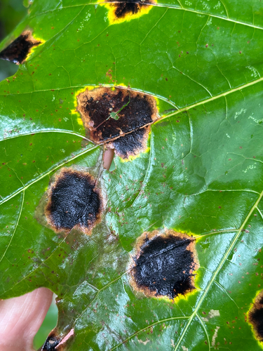
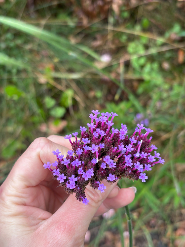
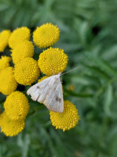
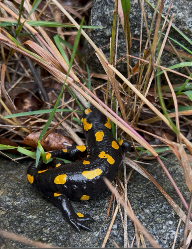
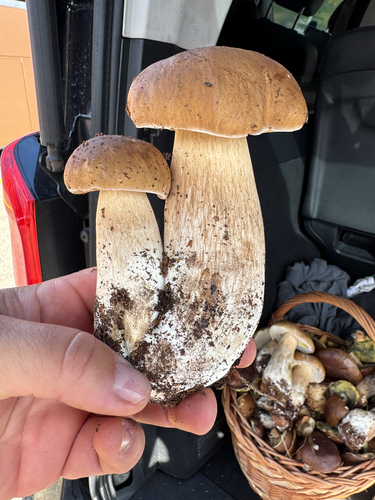
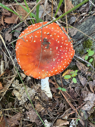
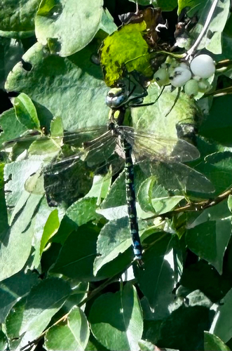
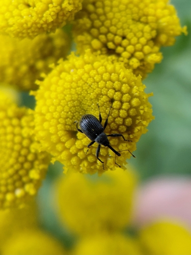
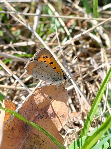
Research-grade observations from iNaturalist (within ~15 mi).
Events
Gallery
Official Identifiers
ČSÚ — Czech Statistical Office
- RÚIAN code
- CZ574341
- Population (Wikidata)
- 4,131
- Wikidata
- Q508591
RÚIAN obec ID via Wikidata P782
Sources
- • Wikipedia
- • Wikidata
- • iNaturalist
- • Open-Meteo / sunrise-sunset.org
- • Wikipedia Pageviews API
- • Wikidata SPARQL (CC0) — population, area, elevation, inception, head of government, Commons image
- • ČSÚ — Czech Statistical Office — RÚIAN obec ID via Wikidata P782