Browse / Czechia / Pardubice / Polička
Polička
Pardubicetown

Polička
Total population
8,669
Founded
1265
Demographic figures from Czech Statistical Office. Overview below cites Wikipedia and may reference a different year.
City facts
Sister cities
Facts from Wikidata (CC0).
Overview
Polička is a town in Svitavy District in the Pardubice Region of the Czech Republic. It has about 9,000 inhabitants. Polička is located in the Svitavy Uplands, on the borderline of the historical lands of Bohemia and Moravia.
Read more on WikipediaHistory & geography
History
Until 1200, the area was under the administration of the Praemonstratensian monastery in Litomyšl. Polička was founded in 1265 by King Ottokar II of Bohemia to defend the country's trading route from Moravia to Bohemia through dense forests. On 27 September 1265, Ottokar II issued a decree in which he ordered the lokator Conrad of Lewendorf to take care of setting up the new town. In the second half of the 16th century, the town prospered and Renaissance-style buildings started to be built. including the Church of Saint Michael. In 1613, Polička was devastated by fire. Only the southwestern part of the town the Gothic town hall, church, rectory and school were spared. Polička did not prosper well during the Thirty Years' War either and was conquered and looted several times. The town subsequently depopulated. Polička kept its Baroque appearance until 1845 when it was hit by another fire, which destroyed most of the houses and the Church of Saint James the Great. The fire has considerably slowed development of the town and therefore the town walls were not torn down and are preserved to this day. During the second half of the 19th century the town experienced a significant cultural development. In 1896, Polička was connected to the national railway network. This started the industrial development of the town. In the first half of the 20th century a number of significant building were built in the town, for example Tyl House, Sokol Gymnasium and the building of the current secondary grammar school. Until 1918, Polička was part of Austria-Hungary. In October and November 1938, Polička was occupied by Nazi Germany. Between 1939 and 1945, the town belonged to the Protectorate of Bohemia and Moravia. After World War II, the town lost about one thousand inhabitants to the…
Geography
Polička is located about west of Svitavy and southeast of Pardubice. It lies in the Svitavy Uplands. The highest point is at above sea level. It is situated on the borderline of the historical lands of Bohemia and Moravia. The stream Bílý potok flows through the town and supplies the fishpond Synský rybník in the centre of the town.
Excerpted from the corresponding Wikipedia article (CC BY-SA).
Geography
Coordinates & boundaries from the US Census TIGER/Line shapefiles.
Climate
10-year averages from ERA5 reanalysis (Open-Meteo).
Air quality
Walkability
Amenities nearby
Wildlife & biodiversity
Earthquake history
Most recent
- M 3 — 2006-03-211 km NNW of Bystré, Czechia
- M 2.6 — 2005-12-315 km ENE of Šternberk, Czechia
- M 3.4 — 2005-10-250 km N of ?ervený Kostelec, Czechia
- M 2.9 — 2005-08-102 km WSW of ?ervený Kostelec, Czechia
Events from the USGS Earthquake Catalog (global) (FDSN Event Web Service).
Photos
Sights & places nearby
Notable people from here


People born within ~10 km, from Wikidata (CC0). Click any name for their Wikipedia article.
Nearby places in Pardubice
- Sádek2.4 mi away · pop. 456
- Široký Důl2.9 mi away · pop. 360
- Sebranice4 mi away · pop. 848
- Lubná4.5 mi away · pop. 977
- Borová4.9 mi away · pop. 922
- Poříčí u Litomyšle6.6 mi away · pop. 244
- Desná6.7 mi away · pop. 334
- Březiny6.8 mi away · pop. 139
- Vendolí6.8 mi away · pop. 880
- Bystré7 mi away · pop. 1,658
- Budislav7.2 mi away · pop. 435
- Dolní Újezd7.7 mi away · pop. 1,772
Geography & sun
Elevation, sunrise/sunset and daylight from Open-Meteo. Solar climatology from NASA POWER.
Nearby airports
Public attention
Pageview totals from the Wikimedia Pageviews API.
Books about Polička
Search results from Open Library.
Recent natural events nearby
Ground air-quality sensors
Recently spotted species
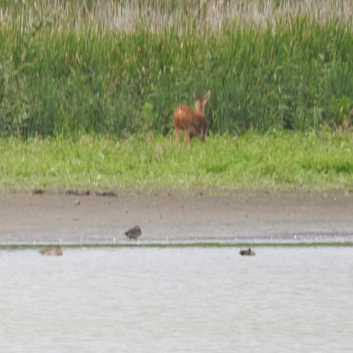
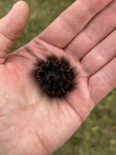
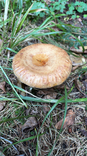
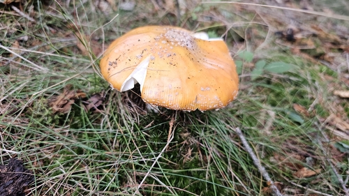
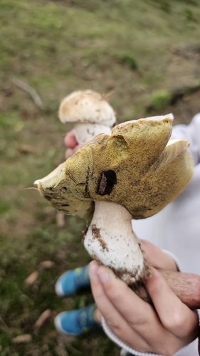
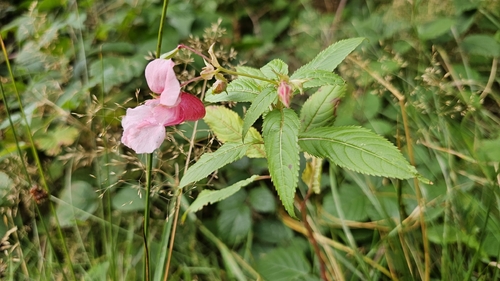
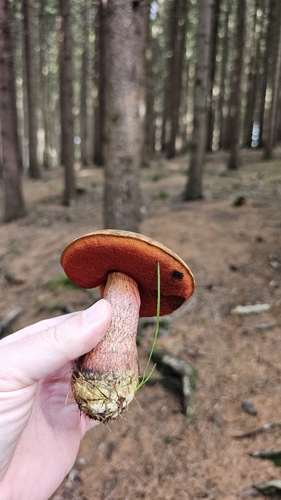
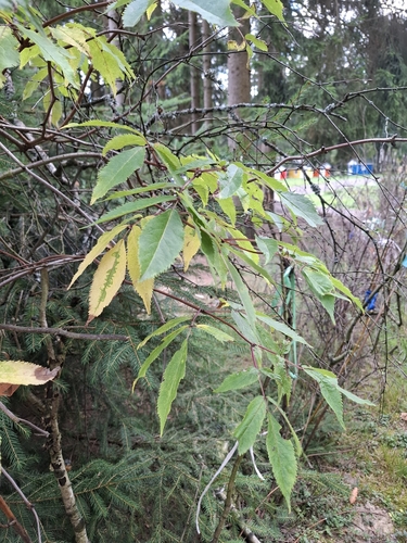
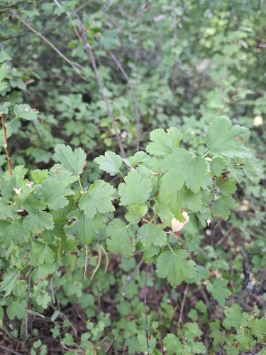
Research-grade observations from iNaturalist (within ~15 mi).
Events
Gallery
Official Identifiers
ČSÚ — Czech Statistical Office
- RÚIAN code
- CZ578576
- Population (Wikidata)
- 9,051
- Wikidata
- Q1013914
RÚIAN obec ID via Wikidata P782
Sources
- • Wikipedia
- • Open-Meteo (ERA5 reanalysis)
- • Wikidata
- • USGS Earthquake Catalog (global feed)
- • iNaturalist
- • Open-Meteo / sunrise-sunset.org
- • Wikipedia Pageviews API
- • Open Library
- • Wikidata SPARQL (CC0) — population, area, elevation, inception, head of government, Commons image
- • ČSÚ — Czech Statistical Office — RÚIAN obec ID via Wikidata P782