Browse / Czechia / South Bohemian / Ponědrážka
Ponědrážka
South Bohemianvillage
Total population
92
Demographic figures from Czech Statistical Office. Overview below cites Wikipedia and may reference a different year.
City facts
Overview
Ponědrážka is a tiny village that lies in South Bohemian, Czechia. Around 92 people are recorded as living there in the most recent open data. On the world map it falls within the Eastern Hemisphere, specifically at 49.137°, 14.703°. Based on its temperate position, residents likely encounter four distinct seasons with warm summers and cold winters. Solar-resource estimates put the area at about 1,143 kWh/m² of solar irradiance per year with sunshine for roughly 45% of daylight hours. Further detail — demographics, climate, nearby amenities and natural-hazard data — is compiled below from public open-data sources.
Summary composed automatically from structured open data on this page. See our Terms for details.
History & geography
Geography
Coordinates & boundaries from the US Census TIGER/Line shapefiles.
Climate
Air quality
Walkability
Amenities nearby
Wildlife & biodiversity
Most-observed species
- MallardAnas platyrhynchos Linnaeus, 1758 · Aves2,974
- Gray/Purple HeronArdea cinerea Linnaeus, 1758 · Aves2,338
- Mute SwanCygnus olor (J.F.Gmelin, 1789) · Aves2,167
- Graylag GooseAnser anser (Linnaeus, 1758) · Aves2,143
- Great TitParus major Linnaeus, 1758 · Aves1,966
- Eurasian Blue TitCyanistes caeruleus (Linnaeus, 1758) · Aves1,888
- Great Crested GrebePodiceps cristatus (Linnaeus, 1758) · Aves1,763
- Eurasian NuthatchSitta europaea Linnaeus, 1758 · Aves1,734
Citizen-science & research observations from the Global Biodiversity Information Facility (GBIF).
Earthquake history
Most recent
- M 2.5 — 2007-01-134 km SSW of Krásná Hora nad Vltavou, Czechia
Events from the USGS Earthquake Catalog (global) (FDSN Event Web Service).
Photos
Sights & places nearby
Notable people from here
Nearby places in South Bohemian
- Sedlíkovice4.3 mi away · pop. 56
- Dolní Slověnice6.3 mi away · pop. 97
- Horní Slověnice6.3 mi away · pop. 92
- Horní Bukovsko7 mi away · pop. 102
- Radonice7 mi away · pop. 88
- Hartmanice7.9 mi away · pop. 185
- Velechvín8.1 mi away · pop. 104
- Nová Hlína8.2 mi away · pop. 110
- Kolný8.2 mi away · pop. 59
- Klečaty8.5 mi away · pop. 60
- Stará Hlína8.5 mi away · pop. 248
- Kvasejovice8.6 mi away · pop. 69
Geography & sun
Elevation, sunrise/sunset and daylight from Open-Meteo. Solar climatology from NASA POWER.
Nearby airports
Public attention
Pageview totals from the Wikimedia Pageviews API.
Books about this place
Recent natural events nearby
Ground air-quality sensors
Recently spotted species
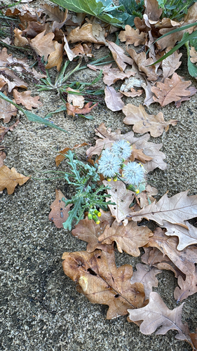
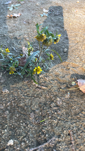
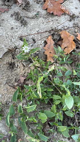
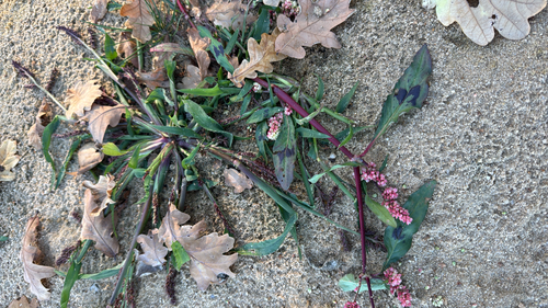
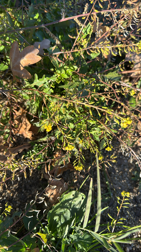
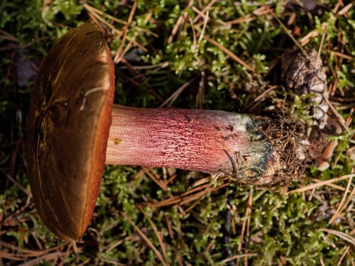
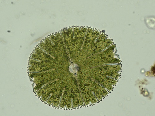
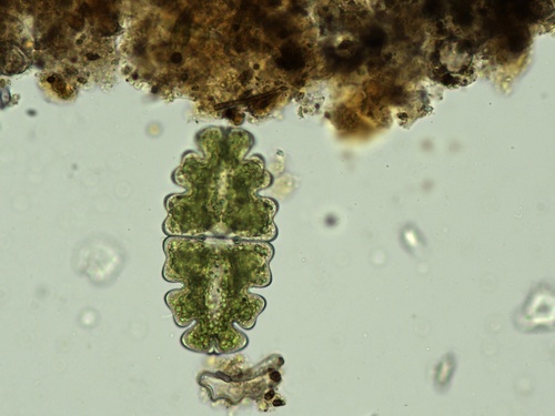
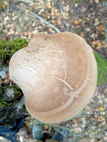
Research-grade observations from iNaturalist (within ~15 mi).
Events
Gallery
Official Identifiers
ČSÚ — Czech Statistical Office
- RÚIAN code
- CZ562653
- Population (Wikidata)
- 80
- Wikidata
- Q1644171
RÚIAN obec ID via Wikidata P782
Sources
- • USGS Earthquake Catalog (global feed)
- • GBIF (Global Biodiversity Information Facility)
- • iNaturalist
- • Open-Meteo / sunrise-sunset.org
- • Wikipedia Pageviews API
- • ČSÚ — Czech Statistical Office — RÚIAN obec ID via Wikidata P782