Browse / Czechia / Liberec / Poniklá
Poniklá
Liberecvillage

Featured view
Poniklá
Total population
1,208
Elevation490 m
Land area13.75 km²
Coordinates50.66°, 15.46°
Demographic figures from Czech Statistical Office. Overview below cites Wikipedia and may reference a different year.
Loading additional data from public sources…0 / 11
CensusWikipediaWeatherPlacesPeopleEnvironmentHealth & SchoolsRelatedGeography & CultureLive MonitoringEvents & Gallery
0% completeCity facts
Facts from Wikidata (CC0).
Overview
Poniklá is a municipality and village in Semily District in the Liberec Region of the Czech Republic. It has about 1,100 inhabitants.
Read more on WikipediaHistory & geography
Geography
Latitude
50.6612
Longitude
15.4642
Water area
—
Coordinates & boundaries from the US Census TIGER/Line shapefiles.
Climate
Air quality
Walkability
Amenities nearby
Wildlife & biodiversity
Earthquake history
Photos
Sights & places nearby
Notable people from here

Prokop Diviš
Czech physicist, inventor and roman catholic priest (1698-1765)

Karel Farský
Czech priest, religion writer, publicist, writer and theologist (1880–1927)

Antal Stašek
Czech member of Czech council, politician, attorney, poet, publicist, politic writer, translator and bookwriter (1843–1931)

František Hák
Czech cross-country skier
V
Václav Jón
Czechoslovak cross-country skier

Vladimír Slavínský
Czech actor, director and scriptwriter
F
František Janata
Czechoslovak member of Czechoslovak national parliament, legioneer and Czechoslovak politician
F
František Pelegrin Hrdina
Czech composer and organist
J
Josef Dufek
Czechoslovak politician (1896–1987)

Josef Jerie
Czech doctor

Josef Hanuš
Czech literary historian

František Farský
agronomist, chemist and entomologist
J
Josef Jan Hanuš
Czechs fighter pilot, flying ace of World War II
J
Jan Nesvadba
cyclist

Bedřich Mach
Czech teacher and historian (1853-1925)
J
Jan Václavík
People born within ~10 km, from Wikidata (CC0). Click any name for their Wikipedia article.
Nearby places in Liberec
- Víchovská Lhota1.4 mi away · pop. 84
- Jestřabí v Krkonoších1.8 mi away · pop. 59
- Horní Sytová2.1 mi away · pop. 240
- Křížlice2.2 mi away · pop. 126
- Dolní Tříč2.3 mi away · pop. 98
- Víchová nad Jizerou2.4 mi away · pop. 611
- Horní Tříč2.7 mi away · pop. 141
- Vítkovice3.2 mi away · pop. 392
- Vysoké nad Jizerou3.2 mi away · pop. 927
- Dolní Štěpanice3.2 mi away · pop. 352
- Dolní Sytová3.3 mi away · pop. 288
- Jablonec nad Jizerou3.3 mi away · pop. 1,467
Geography & sun
Avg solar (kWh/m²/day)
2.97
Annual solar (kWh/m²)
1,084
Elevation, sunrise/sunset and daylight from Open-Meteo. Solar climatology from NASA POWER.
Nearby airports
Public attention
Wikipedia views (last 30 days)
41
Avg daily Wikipedia views
1
Attention level
Obscure
Pageview totals from the Wikimedia Pageviews API.
Books about this place
Recent natural events nearby
Ground air-quality sensors
Recently spotted species
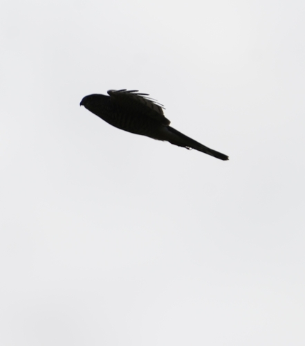
Eurasian Sparrowhawk
Accipiter nisus
Seen 2026-09-23
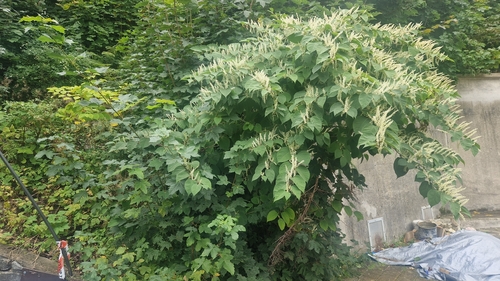
Japanese knotweed
Reynoutria japonica
Seen 2026-09-22
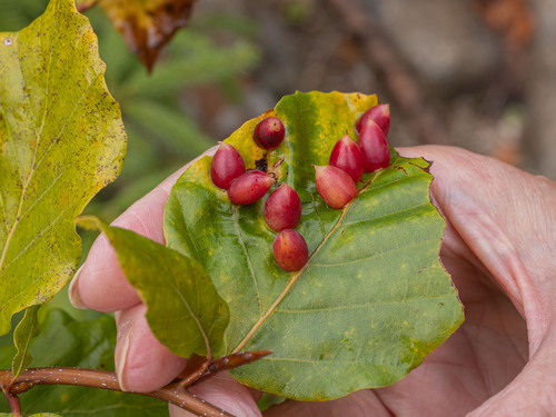
Beech Gall Midge
Mikiola fagi
Seen 2026-09-21
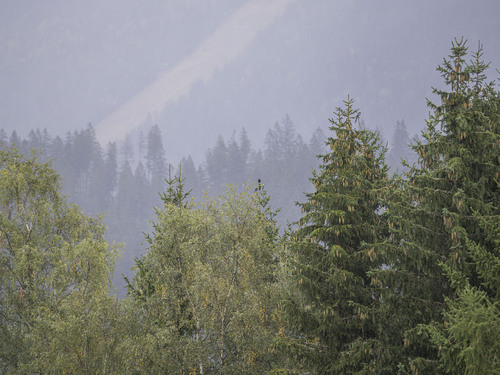
Eurasian Magpie
Pica pica
Seen 2026-09-21
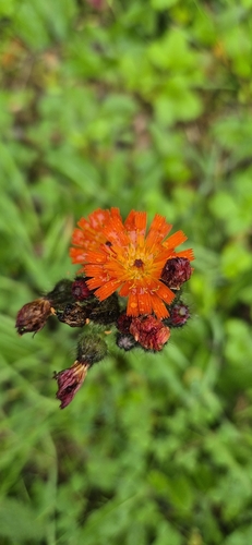
orange hawkweed
Pilosella aurantiaca
Seen 2026-09-20
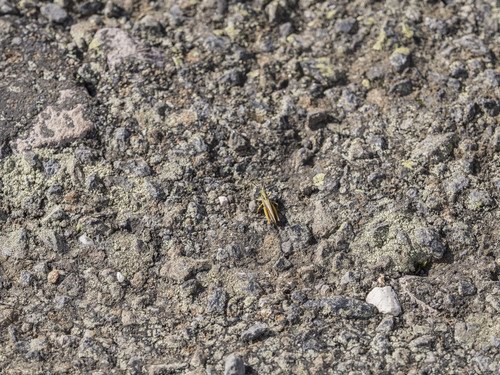
Common Green Grasshopper
Omocestus viridulus
Seen 2026-09-20
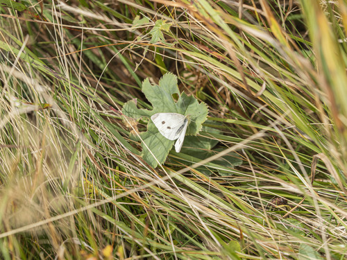
Small White
Pieris rapae
Seen 2026-09-20
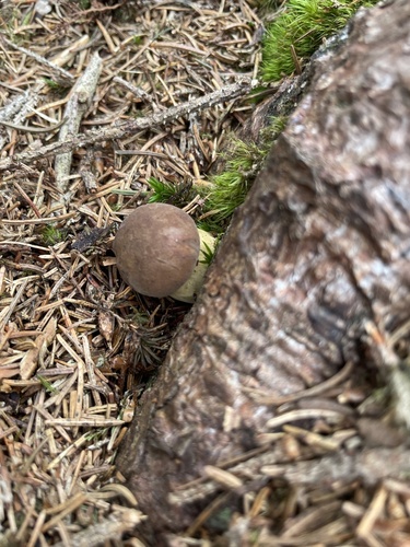
Bay Bolete
Imleria badia
Seen 2026-09-20
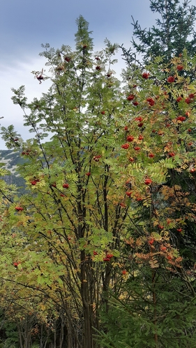
European mountain ash
Sorbus aucuparia
Seen 2026-09-20
Research-grade observations from iNaturalist (within ~15 mi).
Events
Gallery
Official Identifiers
ČSÚ — Czech Statistical Office
- RÚIAN code
- CZ577405
- Population (Wikidata)
- 1,106
- Wikidata
- Q2140689
RÚIAN obec ID via Wikidata P782
Sources
- • Wikipedia
- • Wikidata
- • iNaturalist
- • Open-Meteo / sunrise-sunset.org
- • Wikipedia Pageviews API
- • Wikidata SPARQL (CC0) — population, area, elevation, inception, head of government, Commons image
- • ČSÚ — Czech Statistical Office — RÚIAN obec ID via Wikidata P782