Browse / Czechia / Olomouc / Postřelmov
Postřelmov
Olomoucvillage

Postřelmov
Total population
3,235
Demographic figures from Czech Statistical Office. Overview below cites Wikipedia and may reference a different year.
City facts
Facts from Wikidata (CC0).
Overview
Postřelmov is a municipality and village in Šumperk District in the Olomouc Region of the Czech Republic. It has about 2,900 inhabitants.
Read more on WikipediaHistory & geography
History
The first written mention of Postřelmov is from 1349. In the 15th century, the largest pond in Moravia with an area of was built here, but only a part of the embankment has survived to this day. For centuries, Postřelmov was an agricultural village, but at the end of the 19th century, it was industrialised.
Geography
Postřelmov is located about southwest of Šumperk and northwest of Olomouc. It lies in the Mohelnice Depression. The municipality is situated at the confluence of the rivers Morava and Desná.
Excerpted from the corresponding Wikipedia article (CC BY-SA).
Geography
Coordinates & boundaries from the US Census TIGER/Line shapefiles.
Climate
Air quality
Walkability
Amenities nearby
Wildlife & biodiversity
Earthquake history
Photos
Sights & places nearby
Notable people from here
Nearby places in Olomouc
- Kolšov1.6 mi away · pop. 742
- Postřelmůvek1.8 mi away · pop. 341
- Leština2.8 mi away · pop. 1,254
- Václavov3.7 mi away · pop. 220
- Klášterec3.8 mi away · pop. 225
- Králec3.8 mi away · pop. 356
- Strupšín4 mi away · pop. 71
- Radomilov4.1 mi away · pop. 101
- Lupěné4.3 mi away · pop. 115
- Bartoňov4.4 mi away · pop. 130
- Pivonín4.4 mi away · pop. 59
- Olšany4.6 mi away · pop. 908
Geography & sun
Elevation, sunrise/sunset and daylight from Open-Meteo. Solar climatology from NASA POWER.
Nearby airports
Public attention
Pageview totals from the Wikimedia Pageviews API.
Books about this place
Recent natural events nearby
Ground air-quality sensors
Recently spotted species
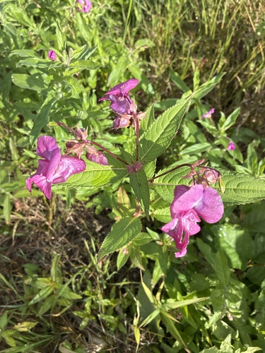
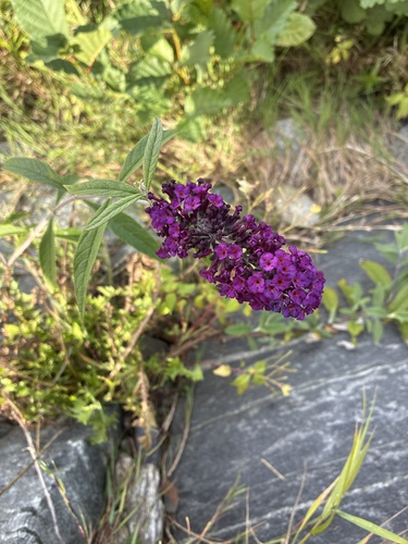
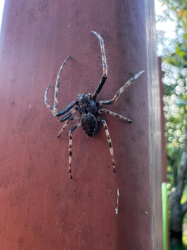
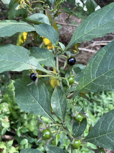
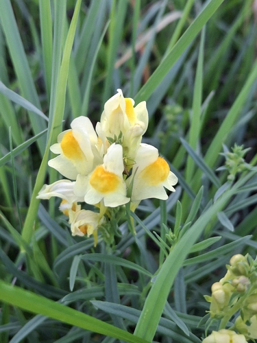
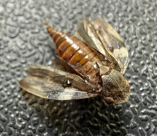
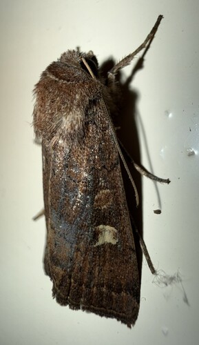
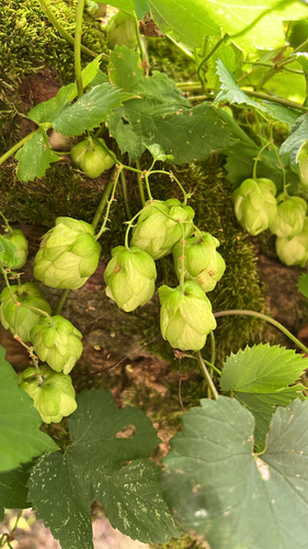
Research-grade observations from iNaturalist (within ~15 mi).
Events
Gallery
Official Identifiers
ČSÚ — Czech Statistical Office
- RÚIAN code
- CZ540773
- Population (Wikidata)
- 2,962
- Wikidata
- Q970522
RÚIAN obec ID via Wikidata P782
Sources
- • Wikipedia
- • Wikidata
- • iNaturalist
- • Open-Meteo / sunrise-sunset.org
- • Wikipedia Pageviews API
- • Wikidata SPARQL (CC0) — population, area, elevation, inception, head of government, Commons image
- • ČSÚ — Czech Statistical Office — RÚIAN obec ID via Wikidata P782