Browse / Czechia / Karlovy Vary / Přebuz
Přebuz
Karlovy Varyvillage

Přebuz
Total population
73
Demographic figures from Czech Statistical Office. Overview below cites Wikipedia and may reference a different year.
City facts
Facts from Wikidata (CC0).
Overview
Přebuz is a town in Sokolov District in the Karlovy Vary Region of the Czech Republic. It is the smallest town in the Czech Republic by population, which was 67 inhabitants as of 2025. Before World War II, it was a mining town with 3,000 inhabitants. Přebuz is located in the Ore Mountains.
Read more on WikipediaHistory & geography
History
The foundation of Přebuz is connected with rich finds of tin ore. According to its chronicle from 1836, Přebuz was founded in 1347 by German colonisers. Although this date is unconfirmed, it is considered probable. The first written mention of Přebuz is from 1542. In 1553, Přebuz gained status and rights of a mining town. Before World War II, the town had about 3,000 inhabitants. From 1938 to 1945, Přebuz was annexed by Nazi Germany and administered as part of the Reichsgau Sudetenland. After the war, the population has decreased significantly because of expulsion of Germans and termination of mining.
Geography
Přebuz is located about north of Sokolov and northwest of Karlovy Vary. It lies on the border with Germany, in the western part of the Ore Mountains. The highest point is the mountain Čertova hora at above sea level. The Rolava River originates in the municipal territory.
Excerpted from the corresponding Wikipedia article (CC BY-SA).
Geography
Coordinates & boundaries from the US Census TIGER/Line shapefiles.
Climate
Air quality
Walkability
Amenities nearby
Wildlife & biodiversity
Earthquake history
Photos
Sights & places nearby
Notable people from here
Geography & sun
Nearby airports
Public attention
Books about this place
Recent natural events nearby
Ground air-quality sensors
Recently spotted species
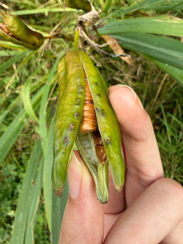
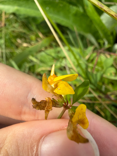
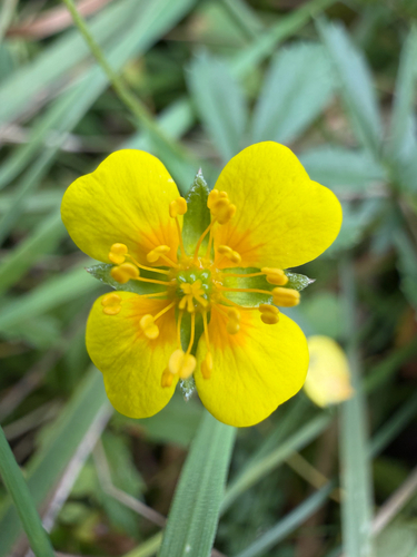
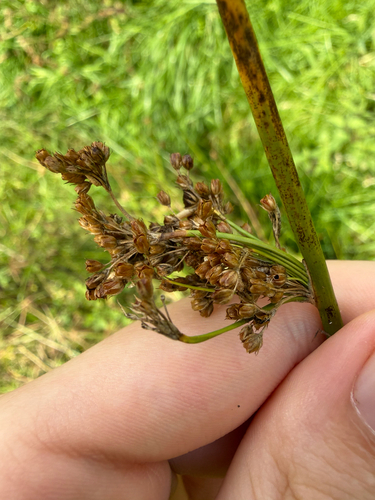
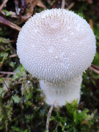
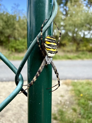
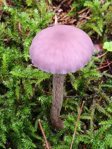
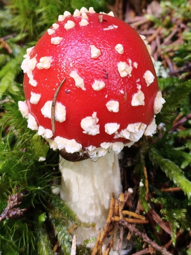
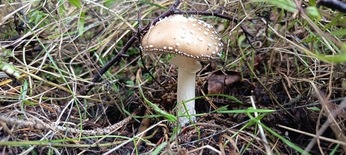
Research-grade observations from iNaturalist (within ~15 mi).
Events
Gallery
Official Identifiers
ČSÚ — Czech Statistical Office
- RÚIAN code
- CZ560596
- Population (Wikidata)
- 70
- Wikidata
- Q431739
RÚIAN obec ID via Wikidata P782
Sources
- • Wikipedia
- • Wikidata
- • iNaturalist
- • ČSÚ — Czech Statistical Office — RÚIAN obec ID via Wikidata P782