Browse / Czechia / Olomouc / Přerov
Přerov
Olomouctown

Přerov
Total population
41,404
Founded
1141
Air quality index
Demographic figures from Czech Statistical Office. Overview below cites Wikipedia and may reference a different year.
City facts
Facts from Wikidata (CC0).
Overview
Přerov is a city in the Olomouc Region of the Czech Republic. It has about 40,000 inhabitants. It is located in a lowland area, on the Bečva River.
Read more on WikipediaHistory & geography
History
Settlement in the locality dates back to prehistoric times. A locality called Skalka in Předmostí city part is known worldwide for its rich archaeological discoveries, which mainly date back to the Paleolithic period. Discoveries include excavations of a large number of mammoth bones, sites of mammoth hunters' camps from 27–26 thousand years ago, and others. Together with Dolní Věstonice, it is the most important archaeological site in the country. The first written mention of Přerov is in a deed of bishop Jindřich Zdík from 1141 and testifies to Přerov's administrative function in the castle system of the Přemyslid state. King Ottokar II of Bohemia gave Přerov the privilege of being a royal town in 1256. An old stone fortress was built here in the first half of the 13th century. It was conquered and damaged during the Hussite Wars. In 1487, Přerov was acquired by the Pernštejn family. Vilém of Pernštejn had rebuilt the square Horní náměstí and the fortress, which became a solid Gothic castle. The hill around the castle was colonised by new settlers, including members of the Unity of the Brethren, thanks to which the town became a centre of culture and education in the 16th century. In June 1945, during the expulsion of Germans from Czechoslovakia, 265 Germans (71 men, 120 women and 74 children) were killed in Přerov. On 1 July 2006, the town of Přerov became a statutory city.
Geography
Přerov is located about southeast of Olomouc, in the fertile Haná region. The eastern part of the municipal territory lies in the Moravian Gate lowlands and the western part lies in the Upper Morava Valley. A small northern part extends into the Nízký Jeseník range. The highest point is the hill Čekyňský kopec at above sea level. The Bečva River flows through the city.
Excerpted from the corresponding Wikipedia article (CC BY-SA).
Geography
Coordinates & boundaries from the US Census TIGER/Line shapefiles.
Climate
Air quality
Current readings from Open-Meteo Air Quality API (Copernicus CAMS European reanalysis).
Walkability
Amenities nearby
Wildlife & biodiversity
Most-observed species
- Great TitParus major Linnaeus, 1758 · Aves4,665
- MallardAnas platyrhynchos Linnaeus, 1758 · Aves4,623
- Common Wood-PigeonColumba palumbus Linnaeus, 1758 · Aves4,576
- Common BuzzardButeo buteo (Linnaeus, 1758) · Aves4,568
- Eurasian BlackbirdTurdus merula Linnaeus, 1758 · Aves4,369
- Hooded CrowCorvus cornix Linnaeus, 1758 · Aves3,985
- Eurasian KestrelFalco tinnunculus Linnaeus, 1758 · Aves3,915
- Gray/Purple HeronArdea cinerea Linnaeus, 1758 · Aves3,847
Citizen-science & research observations from the Global Biodiversity Information Facility (GBIF).
Earthquake history
Most recent
- M 2.6 — 2026-04-091 km WNW of Radlin, Poland
- M 3.2 — 2025-01-271 km NE of Radlin, Poland
- M 2.8 — 2023-01-122 km ENE of Karviná, Czechia
- M 2.8 — 2018-08-171 km ENE of Tren?ianske Teplice, Slovakia
- M 3.2 — 2008-12-041 km SW of Doubrava, Czechia
- M 4.1 — 2008-11-222 km SW of Godów, Poland
Events from the USGS Earthquake Catalog (global) (FDSN Event Web Service).
Photos
Sights & places nearby
Notable people from here


People born within ~10 km, from Wikidata (CC0). Click any name for their Wikipedia article.
Nearby places in Olomouc
- Újezdec1.9 mi away · pop. 659
- Rokytnice2.8 mi away · pop. 1,422
- Radslavice3.3 mi away · pop. 1,125
- Věžky3.7 mi away · pop. 208
- Radvanice3.9 mi away · pop. 291
- Luková4 mi away · pop. 206
- Čechy4.2 mi away · pop. 331
- Vlkoš4.4 mi away · pop. 744
- Sušice4.4 mi away · pop. 340
- Císařov4.5 mi away · pop. 295
- Domaželice4.6 mi away · pop. 444
- Přestavlky4.7 mi away · pop. 255
Geography & sun
Elevation, sunrise/sunset and daylight from Open-Meteo. Solar climatology from NASA POWER.
Nearby airports
Public attention
Pageview totals from the Wikimedia Pageviews API.
Books about Přerov
Search results from Open Library.
Recent natural events nearby
Ground air-quality sensors
Recently spotted species
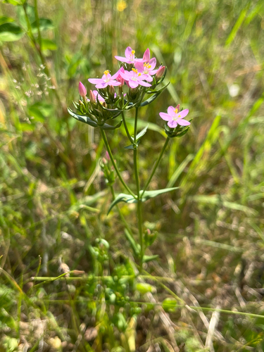
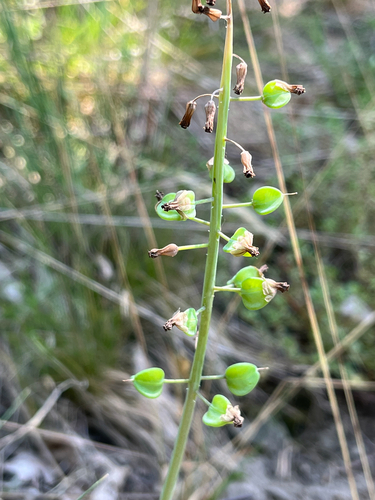
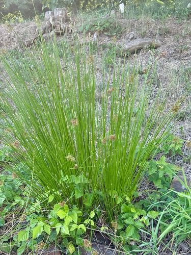
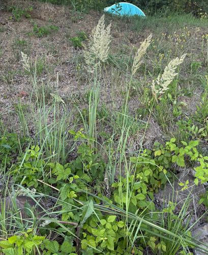
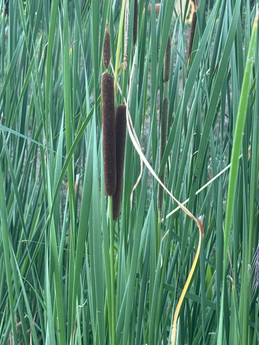
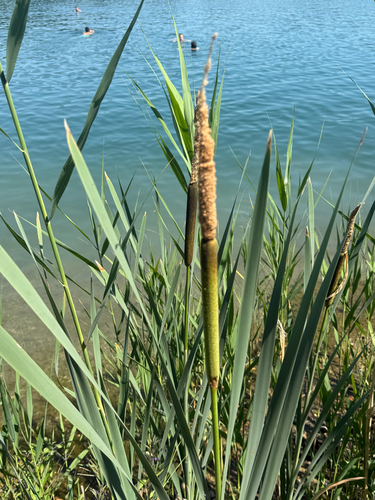
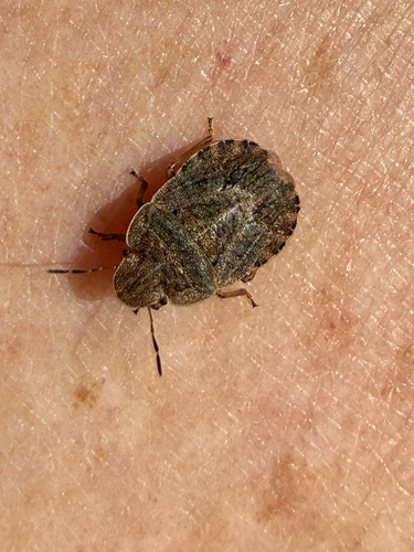
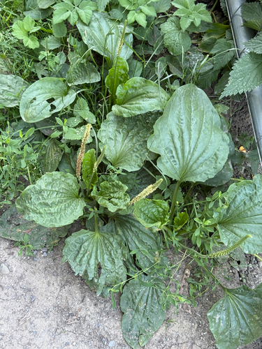
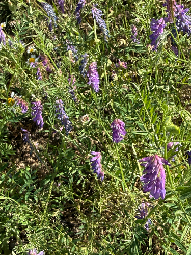
Research-grade observations from iNaturalist (within ~15 mi).
Events
Notable, recurring, and historical events associated with Přerov, sourced from Wikidata.
- 2017 IIHF U18 Women's World ChampionshipJan 7, 2017recurring event edition
2017 edition of the Ice Hockey U18 Women's World Championship
Source: Wikidata (CC0).
Gallery
Official Identifiers
ČSÚ — Czech Statistical Office
- RÚIAN code
- CZ511382
- Population (Wikidata)
- 40,906
- Wikidata
- Q470380
RÚIAN obec ID via Wikidata P782
Sources
- • Wikipedia
- • Wikidata
- • Open-Meteo Air Quality (CAMS)
- • USGS Earthquake Catalog (global feed)
- • GBIF (Global Biodiversity Information Facility)
- • iNaturalist
- • Open-Meteo / sunrise-sunset.org
- • Wikipedia Pageviews API
- • Open Library
- • Wikidata SPARQL (CC0) — population, area, elevation, inception, head of government, Commons image
- • ČSÚ — Czech Statistical Office — RÚIAN obec ID via Wikidata P782