Browse / Czechia / Plzeň / Přimda
Přimda
Plzeňtown

Přimda
Total population
1,582
Demographic figures from Czech Statistical Office. Overview below cites Wikipedia and may reference a different year.
City facts
Sister cities
Facts from Wikidata (CC0).
Overview
Přimda is a town in Tachov District the Plzeň Region of the Czech Republic. It has about 1,600 inhabitants. The town is located in the Upper Palatinate Forest range.
Read more on WikipediaHistory & geography
History
According to Chronica Boemorum, a castle was founded in the area of Přimda in 1121, but it is uncertain whether Přimda is meant by this castle. The first written mention of the Přimda Castle is from 1126, when Duke Soběslav I rebuilt the castle. It was then an important border fortress. The castle also served as a royal prison, where Soběslav II, later duke of Bohemia was imprisoned twice in the 12th century and Ottokar II, later king of Bohemia, was imprisoned in 1249. The first written mention of the settlement Přimda is in a deed of King John of Bohemia from 1331, when it was already referred to as a town. In the 15th and 16th centuries, Přimda was pledged to various noble families, most notably to the Schwambergs, who held it in 1454–1592. in 1592, Emperor Rudolf II sold off the estate. In 1609, the Přimda Castle was described as ruined and abandoned. From 1675, until the establishment of a sovereign municipality, the estate was property of a branch of the Kolowrat family, which chose Velké Dvorce as the centre of the estate. The worst event in the history of the town was the bombing during World War II, when on 20 April 1945, most of the town burned down.
Geography
Přimda is located about south of Tachov and west of Plzeň. It lies in the Upper Palatinate Forest range. The highest point is the Přimda hill at above sea level. The Úhlavka River originates east of the town. The area is rich in small streams. The municipal territory extends into the Český les Protected Landscape Area in the southwest. Přimda's climate is classified as humid continental climate (Köppen Dfb). The annual average temperature is , the hottest month in July is , and the coldest month is in January. The annual precipitation is , of which July is the wettest with , while April is the driest with only . The extreme temperature throughout the year ranged from on 9 January 1985 and 14 January 1987 to on 3 August 2003.
Excerpted from the corresponding Wikipedia article (CC BY-SA).
Geography
Coordinates & boundaries from the US Census TIGER/Line shapefiles.
Climate
Air quality
Walkability
Amenities nearby
Wildlife & biodiversity
Earthquake history
Photos
Sights & places nearby
Notable people from here


People born within ~10 km, from Wikidata (CC0). Click any name for their Wikipedia article.
Nearby places in Plzeň
- Čečkovice6.2 mi away · pop. 77
- Dlouhý Újezd6.8 mi away · pop. 279
- Studánka8 mi away · pop. 387
- Semněvice12.5 mi away · pop. 109
- Lestkov16.8 mi away · pop. 260
- Křenovy18.1 mi away · pop. 150
- Kotovice21.4 mi away · pop. 150
- Myslovice36.8 mi away · pop. 107
- Mladotice37.4 mi away · pop. 443
- Dolní Hradiště40.1 mi away · pop. 42
- Liblín42.2 mi away · pop. 301
- Mešno42.3 mi away · pop. 87
Geography & sun
Elevation, sunrise/sunset and daylight from Open-Meteo. Solar climatology from NASA POWER.
Nearby airports
Public attention
Pageview totals from the Wikimedia Pageviews API.
Books about this place
Recent natural events nearby
Ground air-quality sensors
Recently spotted species
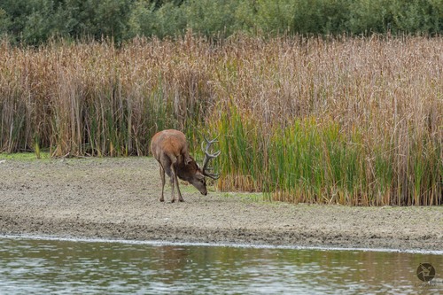
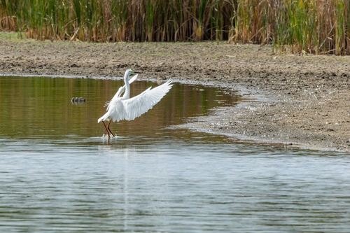
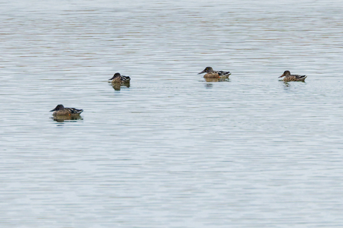
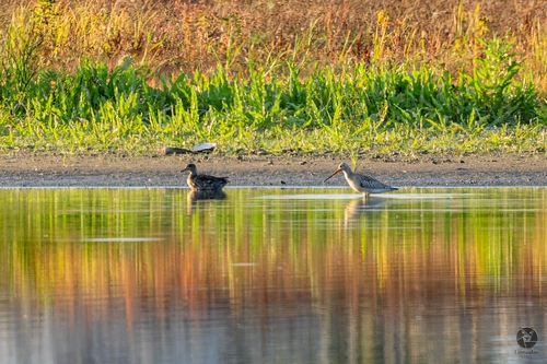
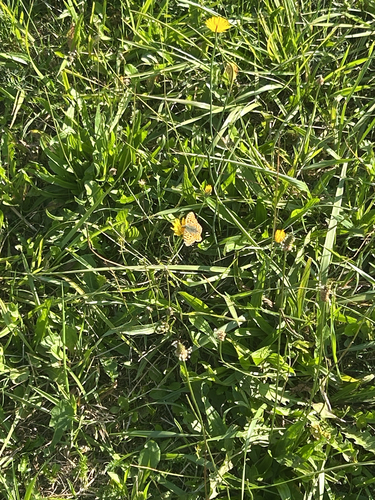
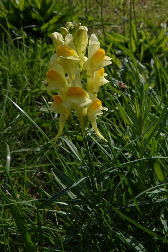
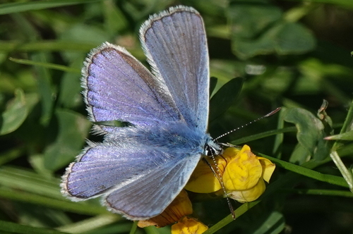

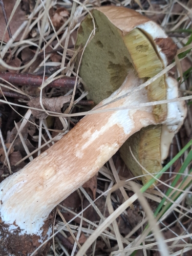
Research-grade observations from iNaturalist (within ~15 mi).
Events
Gallery
Official Identifiers
ČSÚ — Czech Statistical Office
- RÚIAN code
- CZ561151
- Population (Wikidata)
- 1,621
- Wikidata
- Q1019844
RÚIAN obec ID via Wikidata P782
Sources
- • Wikipedia
- • Wikidata
- • iNaturalist
- • Open-Meteo / sunrise-sunset.org
- • Wikipedia Pageviews API
- • Wikidata SPARQL (CC0) — population, area, elevation, inception, head of government, Commons image
- • ČSÚ — Czech Statistical Office — RÚIAN obec ID via Wikidata P782