Browse / Czechia / Olomouc / Prostějov
Prostějov
Olomouctown

Prostějov
Total population
43,055
Demographic figures from Czech Statistical Office. Overview below cites Wikipedia and may reference a different year.
City facts
Facts from Wikidata (CC0).
Overview
Prostějov is a city in the Olomouc Region of the Czech Republic. It has about 43,000 inhabitants. It is located on the Romže River in the Upper Morava Valley. The city is historically known for its fashion industry. TK Agrofert Prostějov is among the most successful Czech tennis clubs.
Read more on WikipediaHistory & geography
History
The first written mention of Prostějov is from 1141. In 1365, the settlement was promoted to a market town and in 1390 to a town. Before 1390, Prostějov was acquired by the Lords of Kravaře and joined to the Plumlov estate. It remained part of it until 1848 and shared its owners and destinies. An Augustinian monastery was founded in 1391, but it was destroyed before 1430 by the Hussites. From 1454, the Jewish community lived in Prostějov. In 1495, the Plumov estate with Prostějov was bought by the Pernštejn family and the construction of the town walls began. The Pernštejn family owned Prostějov until 1599. From 1599 to 1848, it was a property of the Liechtenstein family. The monastery of the Merciful Brothers was established between 1727 and 1730. The Capuchin monastery was established in 1764, but was abolished in 1784. In 1869, the demolition of the city walls began. Thanks to the Jewish community in particular, Prostějov has become an important commercial and industrial centre. Mass production of textile clothing began in the 1840s and at the end of the century, the textile industry gained a privileged position in the whole of Austria-Hungary (one-third of the state's total production was from Prostějov). In the late 19th century, Prostějov was the third largest city in Moravia after Brno and Jihlava. In the Austrian Empire and Austria-Hungary, Prostějov was part of the Margraviate of Moravia. In 1918, it became part of independent Czechoslovakia. The period of German occupation lasted from March 1939 until May 1945. During this time, Prostějov was administered as a part of the Protectorate of Bohemia and Moravia. The Jewish community basically disappeared as a result of the Holocaust. During the socialist period, prefabricated housing estates were built on…
Geography
Prostějov is located about southwest of Olomouc and northeast of Brno. It lies mostly in a flat agricultural landscape of the Upper Morava Valley. The western tip of the municipal territory extends into the Drahany Highlands and includes the highest point of Prostějov at above sea level. The city is situated at the confluence of the Romže River and Hloučela Stream, which is located in Vrahovice.
Excerpted from the corresponding Wikipedia article (CC BY-SA).
Geography
Coordinates & boundaries from the US Census TIGER/Line shapefiles.
Climate
Air quality
Walkability
Amenities nearby
Wildlife & biodiversity
Earthquake history
Photos
Sights & places nearby
Notable people from here
Geography & sun
Elevation, sunrise/sunset and daylight from Open-Meteo. Solar climatology from NASA POWER.
Nearby airports
Public attention
Pageview totals from the Wikimedia Pageviews API.
Books about Prostějov
Search results from Open Library.
Recent natural events nearby
Ground air-quality sensors
Recently spotted species
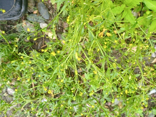
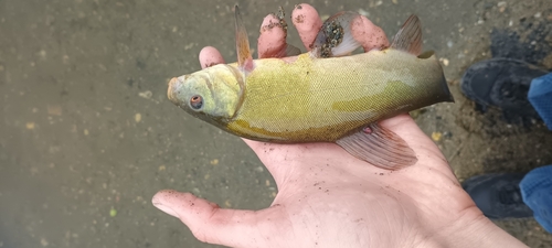
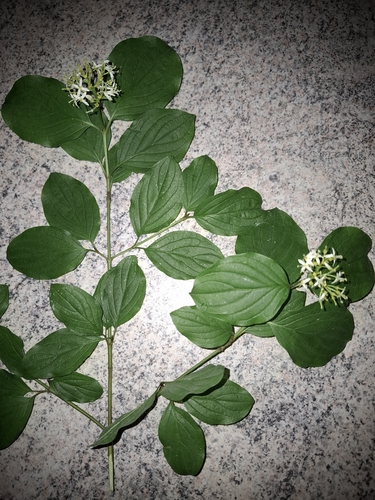
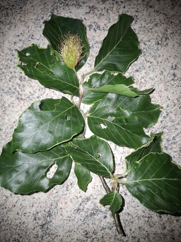
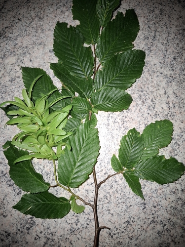
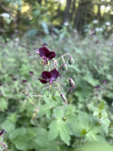
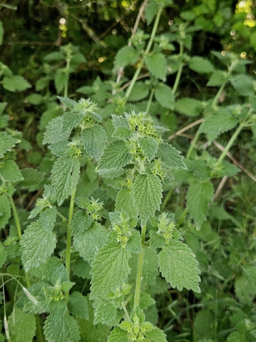
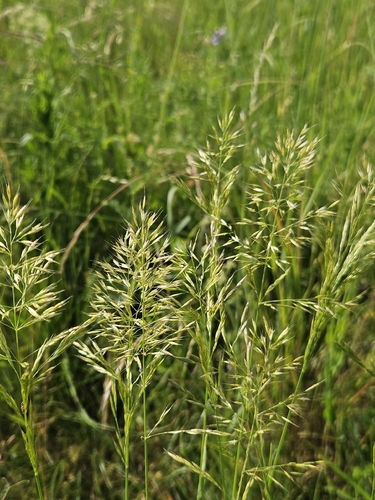
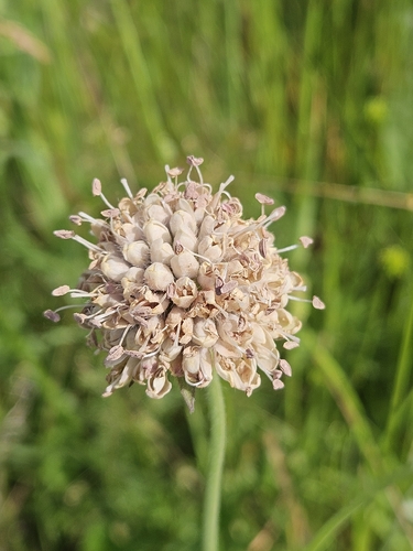
Research-grade observations from iNaturalist (within ~15 mi).
Events
Gallery
Official Identifiers
ČSÚ — Czech Statistical Office
- RÚIAN code
- CZ589250
- Population (Wikidata)
- 43,408
- Wikidata
- Q470445
RÚIAN obec ID via Wikidata P782
Sources
- • Wikipedia
- • Wikidata
- • iNaturalist
- • Open-Meteo / sunrise-sunset.org
- • Wikipedia Pageviews API
- • Open Library
- • Wikidata SPARQL (CC0) — population, area, elevation, inception, head of government, Commons image
- • ČSÚ — Czech Statistical Office — RÚIAN obec ID via Wikidata P782