Browse / Czechia / Moravian-Silesian / Prstná
Prstná
Moravian-Silesianvillage

Prstná
Total population
419
Demographic figures from Czech Statistical Office. Overview below cites Wikipedia and may reference a different year.
City facts
Facts from Wikidata (CC0).
Overview
Prstná is a village in Karviná District, Moravian-Silesian Region, Czech Republic. It was a separate municipality but became administratively a part of Petrovice u Karviné in 1952.
Read more on WikipediaHistory & geography
History
It was first mentioned in 1447 in a written sentence: potwrdili jsme Prsnu. Politically the village belonged initially to the Duchy of Teschen, formed in 1290 in the process of feudal fragmentation of Poland, since 1327 it was a fee of the Kingdom of Bohemia, which after 1526 became a part of the Habsburg monarchy. Since 1796 the village belonged to Gussnar noble family, who built a residence here in 1798, currently an important landmark in the village. After the Revolutions of 1848 in the Austrian Empire, a modern municipal division was introduced in the re-established Austrian Silesia. The village as a municipality was subscribed at least since 1880 to political district and legal district of Freistadt. According to the censuses conducted in 1880, 1890, 1900 and 1910 the population of the municipality grew from 448 in 1880 to 680 in 1910. In terms of the language spoken colloquially the majority were Polish-speakers (at least 95.4% in 1880, at most 98.9% in 1900), accompanied by German-speakers (at most 18 or 4.4% in 1880) and Czech-speakers (at most 5 or 0.8% in 1910). In terms of religion, in 1910 the majority were Roman Catholics (679 or 99.9%). The village was also traditionally inhabited by Silesian Lachs, speaking Cieszyn Silesian dialect. After World War I, the fall of Austria-Hungary, the Polish–Czechoslovak War and the division of Cieszyn Silesia in 1920, the village became a part of Czechoslovakia. Following the Munich Agreement, in October 1938 together with the Zaolzie region it was annexed by Poland, administratively organised in Frysztat County of Silesian Voivodeship. The village was then annexed by Nazi Germany at the beginning of World War II. After the war it was restored to Czechoslovakia.
Excerpted from the corresponding Wikipedia article (CC BY-SA).
Geography
Coordinates & boundaries from the US Census TIGER/Line shapefiles.
Climate
Air quality
Walkability
Amenities nearby
Wildlife & biodiversity
Earthquake history
Photos
Sights & places nearby
Notable people from here


People born within ~10 km, from Wikidata (CC0). Click any name for their Wikipedia article.
Nearby places in Moravian-Silesian
- Petrovice u Karviné1.4 mi away · pop. 4,853
- Dolní Marklovice1.9 mi away · pop. 1,371
- Závada2.9 mi away · pop. 734
- Koukolná3.5 mi away · pop. 243
- Karviná4.2 mi away · pop. 49,881
- Dětmarovice4.2 mi away · pop. 3,540
- Doubrava5 mi away · pop. 1,811
- Dolní Lutyně5.5 mi away · pop. 4,062
- Věřňovice6 mi away · pop. 709
- Doly6.8 mi away · pop. 810
- Orlová7.1 mi away · pop. 28,206
- Záblatí8.1 mi away · pop. 2,208
Geography & sun
Elevation, sunrise/sunset and daylight from Open-Meteo. Solar climatology from NASA POWER.
Nearby airports
Public attention
Pageview totals from the Wikimedia Pageviews API.
Books about this place
Recent natural events nearby
Ground air-quality sensors
Recently spotted species
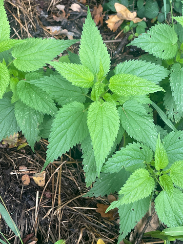
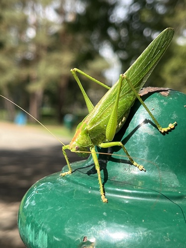
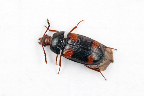
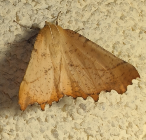
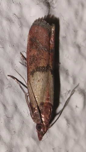
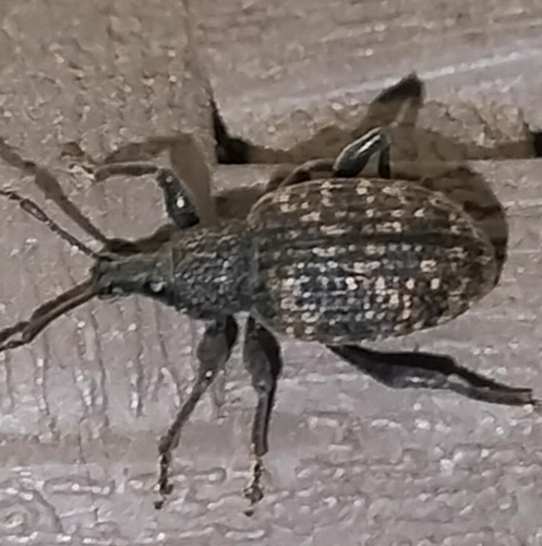
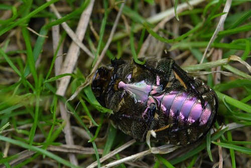
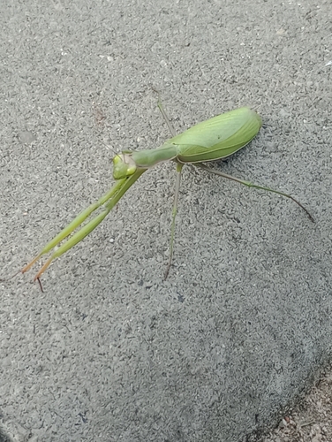

Research-grade observations from iNaturalist (within ~15 mi).
Events
Gallery
Sources
- • Wikipedia
- • Wikidata
- • iNaturalist
- • Open-Meteo / sunrise-sunset.org
- • Wikipedia Pageviews API