Browse / Czechia / Central Bohemian / Rakovník
Rakovník
Central Bohemiantown

Rakovník
Total population
16,695
Demographic figures from Czech Statistical Office. Overview below cites Wikipedia and may reference a different year.
City facts
Sister cities
Facts from Wikidata (CC0).
Overview
Rakovník is a town in the Central Bohemian Region of the Czech Republic. It has about 16,000 inhabitants. The town is located on the stream Rakovnický potok in the Rakovník Uplands. It is an industrial town that grew mainly in the 20th century.
Read more on WikipediaHistory & geography
History
The first written mention of Rakovník is from 1252. Křivoklát was the administrative centre at this time. Rakovník was a market village which together with other villages lies in and adds to the surroundings of Křivoklát Castle. In the second half of the 16th century, the town was rapidly developing. Town walls with town gates were built, the Church of Holy Trinity with a cemetery was established, and the beer brewing prospered and became known in whole kingdom. In the 17th century, the town suffered from Thirty Years' War, plague and floods, which depopulated the town. A great development of the town was fulfilled in the 19th century. It was the beginning of independent offices, new houses and a time when new streets were built. Some new roads were built and old roads repaired and Rakovník was connected to the surrounding towns. A grammar school was opened in 1833, where the writer Zikmund Winter used to teach in 1874–1884. Until 1918, the town was part of Austria-Hungary. With the 20th century the development of social and cultural life increased dramatically. Masaryk's Business Academy, gymnasium and hospital were also built. During the two world wars there were no actual fighting in Rakovník itself but a lot of people died in concentration camps. The most affected were Jewish families. In 1950, Rakovník became a district town. A lot of people moved to the town when Rakovník got over the crises of the wars.
Geography
Rakovník is located about west of Prague and northeast of Plzeň. It lies in the Rakovník Uplands, on the border of the Křivoklátsko Protected Landscape Area. The highest point is at above sea level. The stream Rakovnický potok flows through the town.
Excerpted from the corresponding Wikipedia article (CC BY-SA).
Geography
Coordinates & boundaries from the US Census TIGER/Line shapefiles.
Climate
Air quality
Walkability
Amenities nearby
Wildlife & biodiversity
Earthquake history
Photos
Sights & places nearby
Notable people from here


People born within ~10 km, from Wikidata (CC0). Click any name for their Wikipedia article.
Geography & sun
Elevation, sunrise/sunset and daylight from Open-Meteo. Solar climatology from NASA POWER.
Nearby airports
Public attention
Pageview totals from the Wikimedia Pageviews API.
Books about this place
Recent natural events nearby
Ground air-quality sensors
Recently spotted species
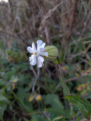
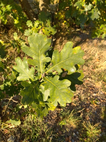
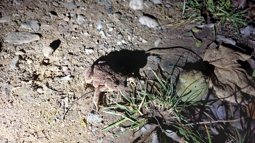
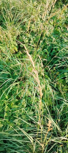
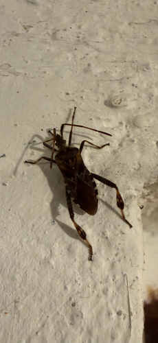
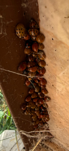
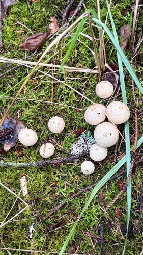
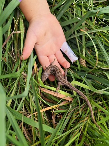
Research-grade observations from iNaturalist (within ~15 mi).
Events
Gallery
Official Identifiers
ČSÚ — Czech Statistical Office
- RÚIAN code
- CZ541656
- Population (Wikidata)
- 15,682
- Wikidata
- Q985465
RÚIAN obec ID via Wikidata P782
Sources
- • Wikipedia
- • Wikidata
- • iNaturalist
- • Open-Meteo / sunrise-sunset.org
- • Wikipedia Pageviews API
- • ČSÚ — Czech Statistical Office — RÚIAN obec ID via Wikidata P782