Browse / Czechia / Liberec / Raspenava
Raspenava
Liberecvillage

Raspenava
Total population
2,827
Demographic figures from Czech Statistical Office. Overview below cites Wikipedia and may reference a different year.
City facts
Sister cities
Facts from Wikidata (CC0).
Overview
Raspenava is a town in Liberec District in the Liberec Region of the Czech Republic. It has about 2,800 inhabitants.
Read more on WikipediaHistory & geography
History
The first written mention of Raspenava is from 1343. The village was located on the left bank of the Smědá River, and there were several small hamlets on the right bank. Raspenava was originally an agricultural village, but its character began to change in the 16th century. In 1512, a hammer mill was built here, and later an ironworks and a lime factory were established. In 1962, the settlements were merged into the town of Raspenava.
Geography
Raspenava is located about north of Liberec, in the salient region of Frýdlant Hook. It lies mostly in the Jizera Foothills. The southern part of the municipal territory extends into the Jizera Mountains and includes the highest point of Raspenava, located below the top of the mountain Poledník at above sea level. The Smědá River flows through the town. Two thirds of the territory are situated in the Jizerské hory Protected Landscape Area. Half of the Czech part of the UNESCO World Heritage Site named Ancient and Primeval Beech Forests of the Carpathians and Other Regions of Europe is situated in the southernmost part of the territory of Raspenava.
Excerpted from the corresponding Wikipedia article (CC BY-SA).
Geography
Coordinates & boundaries from the US Census TIGER/Line shapefiles.
Climate
Air quality
Walkability
Amenities nearby
Wildlife & biodiversity
Earthquake history
Photos
Sights & places nearby
Notable people from here


People born within ~10 km, from Wikidata (CC0). Click any name for their Wikipedia article.
Nearby places in Liberec
- Větrov1.9 mi away · pop. 665
- Frýdlant2 mi away · pop. 6,789
- Krásný Les2.6 mi away · pop. 403
- Údolí3 mi away
- Lázně Libverda3.4 mi away · pop. 456
- Hejnice3.4 mi away · pop. 2,751
- Dětřichov3.5 mi away · pop. 590
- Ferdinandov3.5 mi away · pop. 276
- Dolní Řasnice3.7 mi away · pop. 495
- Přebytek3.8 mi away · pop. 36
- Hajniště4 mi away · pop. 212
- Oldřichov v Hájích4 mi away · pop. 404
Geography & sun
Elevation, sunrise/sunset and daylight from Open-Meteo. Solar climatology from NASA POWER.
Nearby airports
Public attention
Pageview totals from the Wikimedia Pageviews API.
Books about this place
Recent natural events nearby
Ground air-quality sensors
Recently spotted species
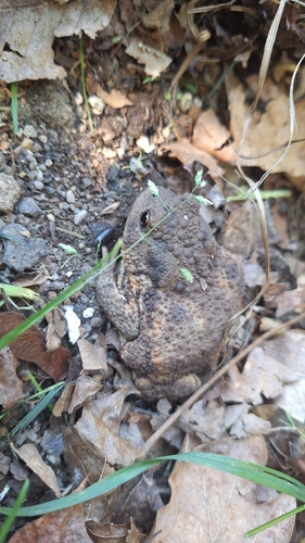
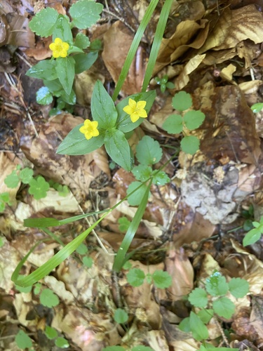
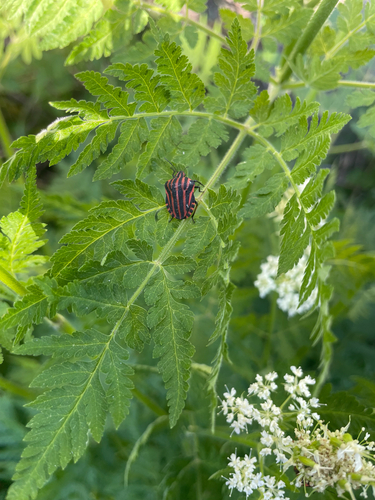
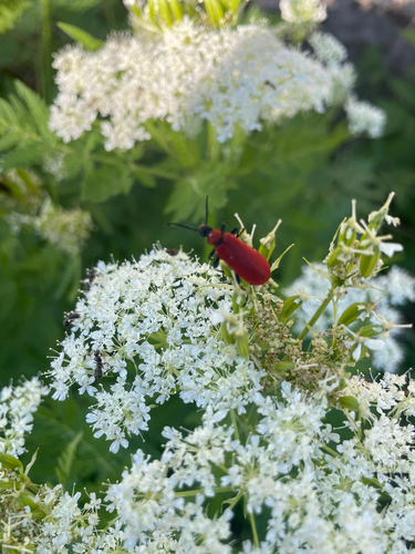
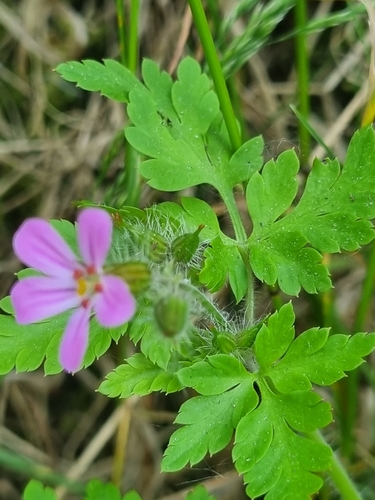
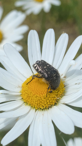

Research-grade observations from iNaturalist (within ~15 mi).
Events
Gallery
Official Identifiers
ČSÚ — Czech Statistical Office
- RÚIAN code
- CZ564371
- Population (Wikidata)
- 2,833
- Wikidata
- Q1258284
RÚIAN obec ID via Wikidata P782
Sources
- • Wikipedia
- • Wikidata
- • iNaturalist
- • Open-Meteo / sunrise-sunset.org
- • Wikipedia Pageviews API
- • Wikidata SPARQL (CC0) — population, area, elevation, inception, head of government, Commons image
- • ČSÚ — Czech Statistical Office — RÚIAN obec ID via Wikidata P782