Browse / Czechia / Moravian-Silesian / Ropice
Ropice
Moravian-Silesianvillage

Ropice
Total population
1,348
Demographic figures from Czech Statistical Office. Overview below cites Wikipedia and may reference a different year.
City facts
Overview
Ropice is a municipality and village in Frýdek-Místek District in the Moravian-Silesian Region of the Czech Republic. It has about 1,800 inhabitants. The municipality has a significant Polish minority.
Read more on WikipediaHistory & geography
History
The creation of the village was a part of a larger settlement campaign taking place in the late 13th century on the territory of what will be later known as Upper Silesia. Ropice was first mentioned in a Latin document of Diocese of Wrocław called Liber fundationis episcopatus Vratislaviensis from around 1305 as Ropiza. Politically Ropice belonged to the Duchy of Teschen (1297 described bilaterally as part of Poland), since 1327 within the Kingdom of Bohemia. The village became a seat of a Catholic parish, mentioned in the register of Peter's Pence payment from 1447 among 50 parishes of Teschen deanery as Ropicza. After the 1540s Protestant Reformation prevailed in the Duchy of Teschen and a local Catholic church was taken over by Lutherans. It was taken from them (as one from around fifty buildings in the region) by a special commission and given back to the Roman Catholic Church on 26 March 1654. In the early 15th century, a fortress was built in Ropice. The first known owners of Ropice were the Sobek family in 1430. The family owned the village until 1693. Around 1700, Ropice was acquired by Filip Saint Genois. He had rebuilt the fortress into a Baroque castle in the early 18th century. In 1785 the Saint Genois family sold Ropice to the Celesta family, who had made Neoclassical renovation of the castle in 1810. After World War I, Polish–Czechoslovak War and the division of Cieszyn Silesia in 1920, it became a part of Czechoslovakia. Following the Munich Agreement, in October 1938 together with the Trans-Olza region it was annexed by Poland, administratively adjoined to Cieszyn County of Silesian Voivodeship. It was then annexed by Nazi Germany at the beginning of World War II. After the war it was restored to Czechoslovakia. In 1980, Ropice became a municipal…
Geography
Ropice is located about east of Frýdek-Místek and southeast of Ostrava, in the historical region of Cieszyn Silesia. It lies in the Moravian-Silesian Foothills. The highest point is the hill Štěpnice at above sea level. The Ropičanka Stream flows through the municipality. The Olza River forms the northeastern municipal border.
Excerpted from the corresponding Wikipedia article (CC BY-SA).
Geography
Coordinates & boundaries from the US Census TIGER/Line shapefiles.
Climate
Air quality
Walkability
Amenities nearby
Wildlife & biodiversity
Most-observed species
- DaisyBellis perennis L. · Magnoliopsida2,993
- Ground-ivyGlechoma hederacea L. · Magnoliopsida2,186
- Great TitParus major Linnaeus, 1758 · Aves1,123
- Eurasian BlackbirdTurdus merula Linnaeus, 1758 · Aves1,092
- Eurasian Blue TitCyanistes caeruleus (Linnaeus, 1758) · Aves950
- Great Spotted WoodpeckerDendrocopos major (Linnaeus, 1758) · Aves857
- Common NettleUrtica dioica L. · Magnoliopsida846
- Common ChaffinchFringilla coelebs Linnaeus, 1758 · Aves832
Citizen-science & research observations from the Global Biodiversity Information Facility (GBIF).
Earthquake history
Most recent
- M 2.6 — 2026-04-091 km WNW of Radlin, Poland
- M 2.9 — 2025-04-294 km WSW of Bytom, Poland
- M 3.2 — 2025-01-271 km NE of Radlin, Poland
- M 2.9 — 2024-07-114 km N of Jejkowice, Poland
- M 3 — 2023-10-042 km W of Murcki, Poland
- M 2.8 — 2023-01-122 km ENE of Karviná, Czechia
Events from the USGS Earthquake Catalog (global) (FDSN Event Web Service).
Photos
Sights & places nearby
Notable people from here


People born within ~10 km, from Wikidata (CC0). Click any name for their Wikipedia article.
Nearby places in Moravian-Silesian
- Dolní Žukov1.4 mi away · pop. 1,026
- Vělopolí1.9 mi away · pop. 206
- Horní Žukov2.3 mi away · pop. 694
- Ropice Za lesem2.5 mi away
- Střítež2.7 mi away · pop. 996
- Mosty3.1 mi away · pop. 1,213
- Mistřovice3.2 mi away · pop. 404
- Kojkovice3.5 mi away · pop. 256
- Koňákov3.6 mi away · pop. 228
- Smilovice3.6 mi away · pop. 581
- Třanovice3.8 mi away · pop. 932
- Horní Líštná4.2 mi away · pop. 307
Geography & sun
Elevation, sunrise/sunset and daylight from Open-Meteo. Solar climatology from NASA POWER.
Nearby airports
Public attention
Pageview totals from the Wikimedia Pageviews API.
Books about this place
Recent natural events nearby
Ground air-quality sensors
Recently spotted species
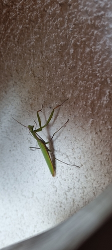
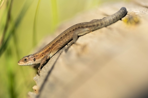
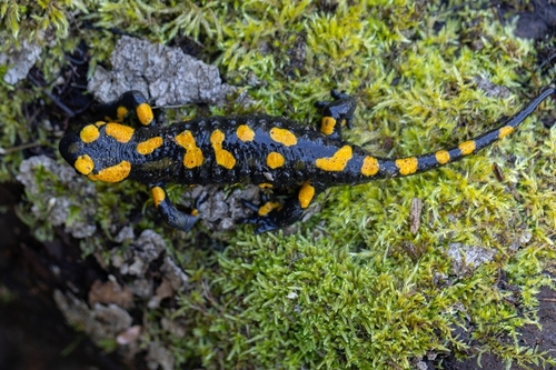
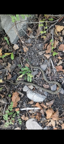
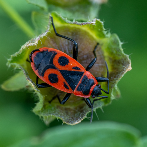
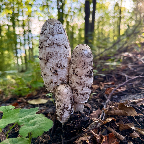
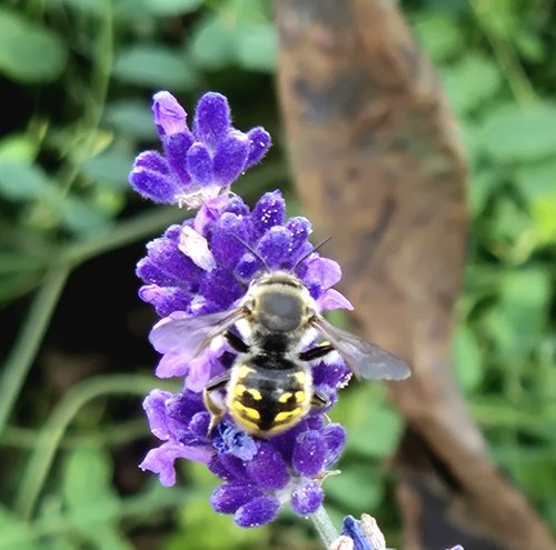
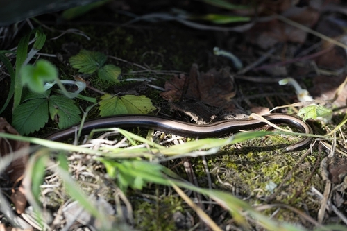
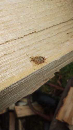
Research-grade observations from iNaturalist (within ~15 mi).
Events
Gallery
Official Identifiers
ČSÚ — Czech Statistical Office
- RÚIAN code
- CZ556971
- Population (Wikidata)
- 1,752
- Wikidata
- Q2166312
RÚIAN obec ID via Wikidata P782
Sources
- • Wikipedia
- • Wikidata
- • USGS Earthquake Catalog (global feed)
- • GBIF (Global Biodiversity Information Facility)
- • iNaturalist
- • Open-Meteo / sunrise-sunset.org
- • Wikipedia Pageviews API
- • Wikidata SPARQL (CC0) — population, area, elevation, inception, head of government, Commons image
- • ČSÚ — Czech Statistical Office — RÚIAN obec ID via Wikidata P782