Browse / Czechia / Central Bohemian / Rožmitál pod Třemšínem
Rožmitál pod Třemšínem
Central Bohemiantown

Rožmitál pod Třemšínem
Total population
4,381
Air quality index
Demographic figures from Czech Statistical Office. Overview below cites Wikipedia and may reference a different year.
City facts
Facts from Wikidata (CC0).
Overview
Rožmitál pod Třemšínem is a town in Příbram District in the Central Bohemian Region of the Czech Republic. It has about 4,300 inhabitants. The historic town centre is well preserved and is protected as an urban monument zone. The most important monument in the town is the Rožmitál pod Třemšínem Castle.
Read more on WikipediaHistory & geography
History
The oldest part of the town is Starý Rožmitál ('old Rožmitál'), called the Old Town. Pottery from the 10th and 11th centuries was found here. The Rožmitál Castle was built in the mid-13th century.
Geography
Rožmitál pod Třemšínem is located about southwest of Příbram and southwest of Prague. It lies in an outcrop of the Benešov Uplands, surrounded by the Brdy Highlands. The highest point is the hill Třemšín at above sea level, which already belongs to the Brdy Highlands. The Skalice River originates in the western part of the municipal territory, then flows to the east through the town proper and supplies a system of fishponds there. The largest of these ponds is Podzámecký rybník. The Lomnice River also originates in the western part of the municipal territory, then flows to the southwest.
Excerpted from the corresponding Wikipedia article (CC BY-SA).
Geography
Coordinates & boundaries from the US Census TIGER/Line shapefiles.
Climate
10-year averages from ERA5 reanalysis (Open-Meteo).
Air quality
Current readings from Open-Meteo Air Quality API (Copernicus CAMS European reanalysis).
Walkability
Amenities nearby
Wildlife & biodiversity
Most-observed species
- Great TitParus major Linnaeus, 1758 · Aves823
- Eurasian BlackbirdTurdus merula Linnaeus, 1758 · Aves787
- Eurasian Blue TitCyanistes caeruleus (Linnaeus, 1758) · Aves570
- Common ChiffchaffPhylloscopus collybita (Vieillot, 1817) · Aves543
- Common ChaffinchFringilla coelebs Linnaeus, 1758 · Aves511
- Common Wood-PigeonColumba palumbus Linnaeus, 1758 · Aves444
- Great Spotted WoodpeckerDendrocopos major (Linnaeus, 1758) · Aves425
- YellowhammerEmberiza citrinella Linnaeus, 1758 · Aves421
Citizen-science & research observations from the Global Biodiversity Information Facility (GBIF).
Earthquake history
Most recent
- M 2.5 — 2007-01-134 km SSW of Krásná Hora nad Vltavou, Czechia
- M 3.1 — 2004-11-155 km ENE of Kada?, Czechia
- M 2.5 — 2002-03-102 km NNE of Waldmünchen, Germany
Events from the USGS Earthquake Catalog (global) (FDSN Event Web Service).
Photos
Sights & places nearby
Notable people from here


People born within ~10 km, from Wikidata (CC0). Click any name for their Wikipedia article.
Nearby places in Central Bohemian
- Chraštičky9.9 mi away · pop. 61
- Jelence14 mi away · pop. 168
- Holšiny15.1 mi away
- Tlustice17.2 mi away · pop. 967
- Malý Chlumec18 mi away · pop. 171
- Skřipel18.9 mi away · pop. 117
- Žebrák19 mi away · pop. 2,248
- Osov19.4 mi away · pop. 256
- Pouště21.3 mi away · pop. 108
- Všeradice21.6 mi away · pop. 415
- Tmaň22.4 mi away · pop. 755
- Čelina22.5 mi away · pop. 82
Geography & sun
Elevation, sunrise/sunset and daylight from Open-Meteo. Solar climatology from NASA POWER.
Nearby airports
Public attention
Pageview totals from the Wikimedia Pageviews API.
Books about this place
Recent natural events nearby
Ground air-quality sensors
Recently spotted species
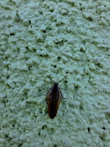
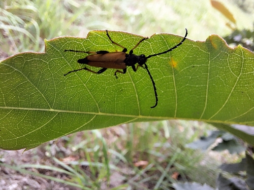
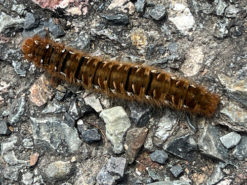
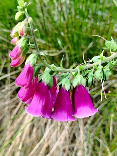
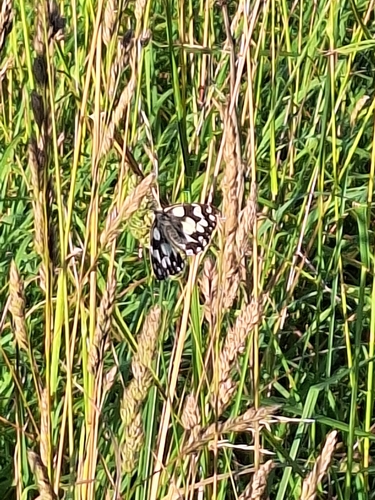
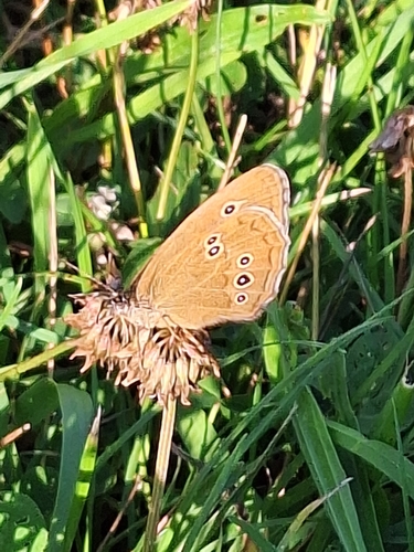
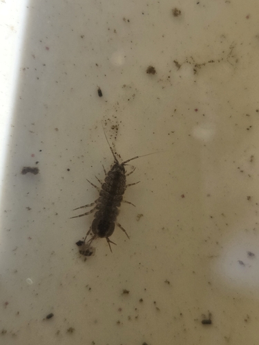
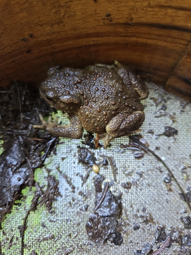
Research-grade observations from iNaturalist (within ~15 mi).
Events
Gallery
Geotagged photos within ~6 miles of Rožmitál pod Třemšínem, from Wikimedia Commons contributors.
 0 mi
0 mi.JPG) 0 mi
0 mi.JPG) 0 mi
0 mi.JPG) 0 mi
0 mi.JPG) 0 mi
0 mi.JPG) 0 mi
0 mi.JPG) 0 mi
0 mi.JPG) 0 mi
0 mi 0 mi
0 mi 0 mi
0 mi 0 mi
0 mi 0 mi
0 mi.jpg) 0 mi
0 mi.jpg) 0 mi
0 mi 0 mi
0 mi 0 mi
0 mi 0 mi
0 mi 0.1 mi
.JPG) 0.1 mi
0.1 mi.JPG) 0.1 mi
0.1 mi 0.1 mi
 0.1 mi
 0.1 mi
 0.1 mi
Photos via Wikimedia Commons — see each image page for license & attribution.
Official Identifiers
ČSÚ — Czech Statistical Office
- RÚIAN code
- CZ541231
- Population (Wikidata)
- 4,244
- Wikidata
- Q2092257
RÚIAN obec ID via Wikidata P782
Sources
- • Wikipedia
- • Open-Meteo (ERA5 reanalysis)
- • Wikimedia Commons
- • Wikidata
- • Open-Meteo Air Quality (CAMS)
- • USGS Earthquake Catalog (global feed)
- • GBIF (Global Biodiversity Information Facility)
- • iNaturalist
- • Open-Meteo / sunrise-sunset.org
- • Wikipedia Pageviews API
- • Wikidata SPARQL (CC0) — population, area, elevation, inception, head of government, Commons image
- • ČSÚ — Czech Statistical Office — RÚIAN obec ID via Wikidata P782