Browse / Czechia / Karlovy Vary / Rudolec
Rudolec
Karlovy Varyvillage
Total population
180
Demographic figures from Czech Statistical Office. Overview below cites Wikipedia and may reference a different year.
City facts
Overview
Rudolec is a small village in Karlovy Vary, Czechia. Population sits at roughly 180 according to the open data we track. Its coordinates of 50.133°, 12.615° place it in the cool-temperate zone of the northern hemisphere. Its latitude implies a climate characterised by long cool seasons and short, mild summers. Detailed open-data panels follow, covering demographics, climate, geography, wildlife and nearby settlements.
Summary composed automatically from structured open data on this page. See our Terms for details.
History & geography
Geography
Coordinates & boundaries from the US Census TIGER/Line shapefiles.
Climate
Air quality
Walkability
Amenities nearby
Wildlife & biodiversity
Earthquake history
Photos
Sights & places nearby
Notable people from here


People born within ~10 km, from Wikidata (CC0). Click any name for their Wikipedia article.
Nearby places in Karlovy Vary
- Citice2.1 mi away · pop. 713
- Slapany12.9 mi away
- Boč26 mi away · pop. 76
- Ouled Driss978.9 mi away · pop. 11,303
- M'Zaret Boumendjel979.5 mi away
- Mechroha981.2 mi away · pop. 21,802
- Souk Ahras984.8 mi away · pop. 155,259
- Mechtat Dardoura986.3 mi away
- Tiffech993 mi away
- Ain Tamatmat993.5 mi away
- Ain el Garsa998.9 mi away
- Hadj Rabah999.5 mi away
Geography & sun
Nearby airports
Public attention
Books about this place
Recent natural events nearby
Ground air-quality sensors
Recently spotted species
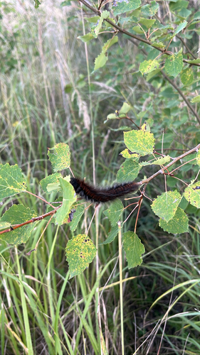
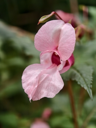
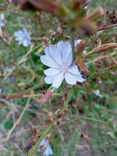
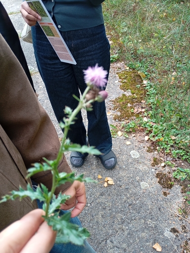
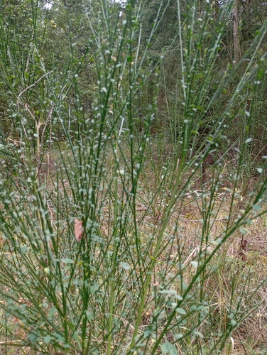
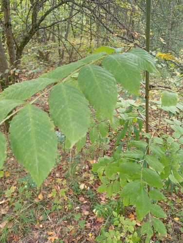
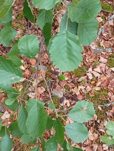
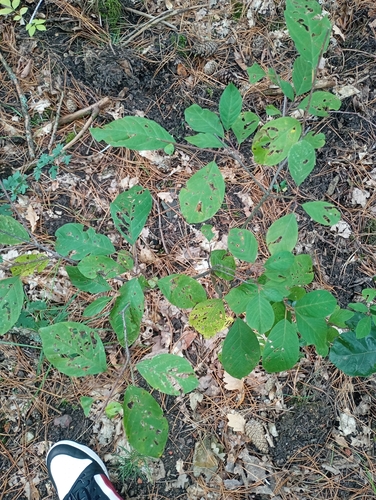
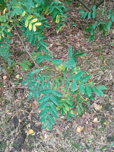
Research-grade observations from iNaturalist (within ~15 mi).
Events
Gallery
Official Identifiers
ČSÚ — Czech Statistical Office
- RÚIAN code
- CZ596671
- Population (Wikidata)
- 236
- Wikidata
- Q2063976
RÚIAN obec ID via Wikidata P782
Sources
- • Wikidata
- • iNaturalist
- • ČSÚ — Czech Statistical Office — RÚIAN obec ID via Wikidata P782