Browse / Czechia / Pardubice / Rudoltice
Rudoltice
Pardubicevillage

Rudoltice
Total population
1,947
Demographic figures from Czech Statistical Office. Overview below cites Wikipedia and may reference a different year.
City facts
Facts from Wikidata (CC0).
Overview
Rudoltice is a municipality and village in Ústí nad Orlicí District in the Pardubice Region of the Czech Republic. It has about 2,000 inhabitants.
Read more on WikipediaHistory & geography
History
Rudoltice was probably founded between 1250 and 1270, during the colonisation of Bohemia initiated by the Ottokar II. The first written mention is from 21 May 1304 under the name Rudolfsdorf, when King Wenceslaus II donated it to the Zbraslav Monastery. Rudoltice belonged to Lanšperk-Lanškroun estate during the entire Middle Ages. The first known owners of Rudoltice were the Lords of Drnholec. Since 1349, Rudoltice was a parish village. After the Battle of White Mountain in 1622, it was acquired by the Liechtenstein family. In 1643–1646, during the Thirty Years' War, the village was plundered by various armies.
Geography
Rudoltice is located about southeast of Ústí nad Orlicí and east of Pardubice. It lies in the Orlické Foothills. The highest point is a hill at above sea level. The Rudoltička Stream flows through the municipality. A set of three fishponds lies in the municipality on a tributary of the Rudoltička. A small part of the Lanškroun Ponds Nature Park lies in the northern part of the municipal territory.
Excerpted from the corresponding Wikipedia article (CC BY-SA).
Geography
Coordinates & boundaries from the US Census TIGER/Line shapefiles.
Climate
Air quality
Walkability
Amenities nearby
Wildlife & biodiversity
Earthquake history
Photos
Sights & places nearby
Notable people from here
Nearby places in Pardubice
- Albrechtice3.9 mi away · pop. 495
- Skuhrov4 mi away · pop. 197
- Rybník4.3 mi away · pop. 832
- Horní Dobrouč5.5 mi away · pop. 262
- Opatov5.8 mi away · pop. 1,097
- Horní Houžovec6 mi away · pop. 68
- Lhotka6.2 mi away · pop. 2,144
- Knapovec6.8 mi away · pop. 295
- Koburk6.8 mi away · pop. 100
- Dětřichov7 mi away · pop. 311
- Kozlov7 mi away · pop. 152
- Nová Ves7 mi away · pop. 323
Geography & sun
Elevation, sunrise/sunset and daylight from Open-Meteo. Solar climatology from NASA POWER.
Nearby airports
Public attention
Pageview totals from the Wikimedia Pageviews API.
Books about this place
Recent natural events nearby
Ground air-quality sensors
Recently spotted species
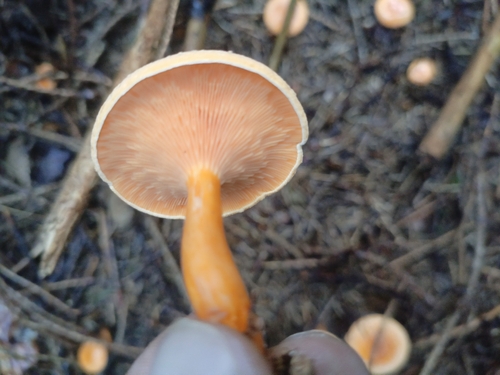
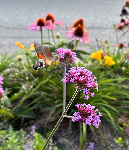
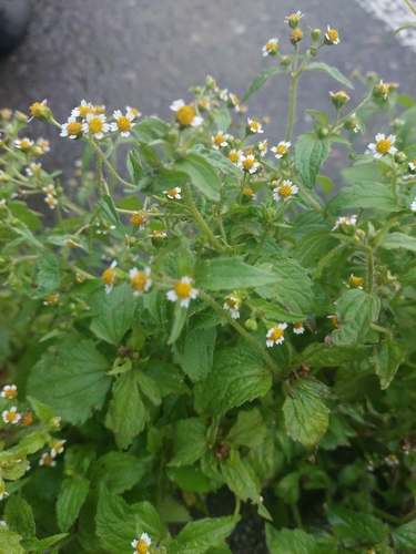
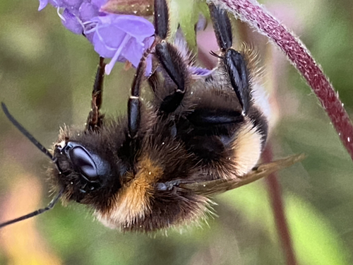
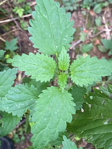
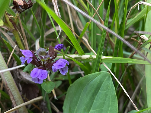
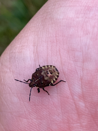
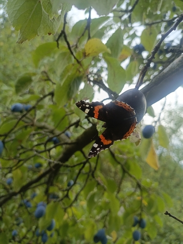
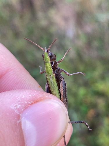
Research-grade observations from iNaturalist (within ~15 mi).
Events
Gallery
Official Identifiers
ČSÚ — Czech Statistical Office
- RÚIAN code
- CZ580848
- Population (Wikidata)
- 1,960
- Wikidata
- Q1709318
RÚIAN obec ID via Wikidata P782
Sources
- • Wikipedia
- • Wikidata
- • iNaturalist
- • Open-Meteo / sunrise-sunset.org
- • Wikipedia Pageviews API
- • Wikidata SPARQL (CC0) — population, area, elevation, inception, head of government, Commons image
- • ČSÚ — Czech Statistical Office — RÚIAN obec ID via Wikidata P782